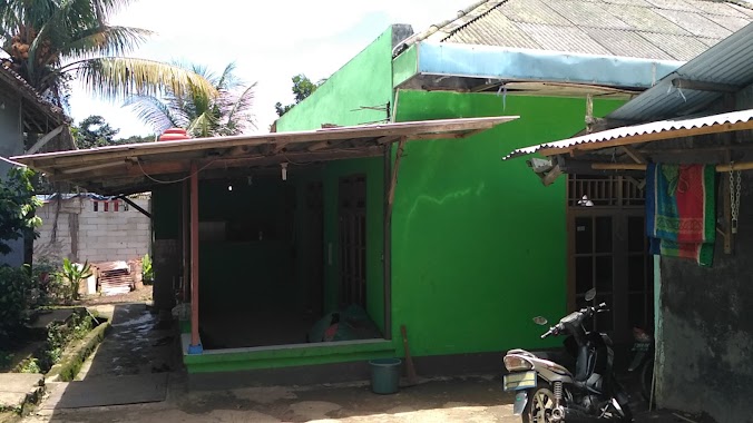
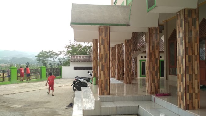
Mosque nearby MASJID LDII KLAPANUNGGAL
Indonesia
Mosque nearby MASJID LDII KLAPANUNGGAL
MASJID LDII KLAPANUNGGAL
Klp., Klapanunggal, Klp. Nunggal, Bogor, Jawa Barat 16710, Indonesien
contacts phone
:
+62
Latitude:
-6.4397002
, Longitude:
106.9451631
larger map & directions
read more
nearest Mosque
129 m
Mushola Darrut Taqwa
Klapanunggal
Mosque
read more
397 m
Masjid Jamie Al Hikmah
Jalan Raya Narogong, Klapanunggal
Mosque
read more
415 m
Masjid Daruttauhid
Klapanunggal
Mosque
read more
569 m
Masjid Darusakinah
Jalan Raya Klapanunggal, Kembang Kuning
Mosque
read more
658 m
Masjid Al-Barokah
Kembang Kuning
Mosque
read more
678 m
Mushola Al Wusto
Jalan Raya Klapanunggal, Klapanunggal
Mosque
read more
744 m
Masjid Darul Arqom
Jalan Cagak, Klapanunggal
Mosque
read more
861 m
Mushola Al Ikhlash
Jalan Raya Klapanunggal, Klapanunggal
Mosque
read more
871 m
Masjid Jami' Nurul Amal
Kp. Tegal, RT. 20 / 06, Kelapa Nunggal, Kembang Kuning
Mosque
read more
874 m
Masjid Jami' Nurul Amal
Unnamed Road, Klp. Nunggal, Kembang Kuning
Mosque
read more
876 m
masjid Nurul Hidayah
Kembang Kuning
Mosque
read more
923 m
Masjid Jami Al Mubarokah
Klapanunggal
Mosque
read more
972 m
Masjid Jami Al Isti'adah
Dayeuh
Mosque
read more
1.409 km
Mushola-Darul-Islah
Jalan Raya Klapanunggal, Klapanunggal
Mosque
read more
1.608 km
Musholla Nurul Iman
Klapanunggal
Mosque
read more
1.691 km
Mushola Miftahul fallah
Jalan Raya Narogong No.438, Dayeuh
Mosque
read more
1.742 km
Musholah catelia
Klapanunggal
Mosque
read more
1.847 km
Masjid Al - Ghorib
Dayeuh
Mosque
read more
1.858 km
Musholla Nurul Hidayah
Klapanunggal
Mosque
read more
1.893 km
Masjid Al Barokah Ghoiru Jami' Cluster Bromo Klapanunggal
Dayeuh
Mosque
read more
1.971 km
Masjid Albanna
Jalan Raya Narogong No.71, Kembang Kuning
Mosque
read more
2.169 km
Masjid
Jalan Mercedes Benz No.257, Cicadas
Mosque
read more
2.189 km
Masjid AT-TAQWA Coco Garden
Klapanunggal
Mosque
read more
2.418 km
Musholla Baitutaqwa
Jalan Raya Klapanunggal No.43, Klapanunggal
Mosque
read more
2.599 km
Masjid Baitul Muttaqiin
Jl. Raya Narogong Lebak Pasar, Nambo
Mosque
read more
📑
all categories
Accounting
Administrative area level 1
Administrative area level 2
Airport
Amusement park
Aquarium
Art gallery
Atm
Bakery
Bank
Bar
Beauty salon
Bicycle store
Book store
Bowling alley
Bus station
Cafe
Campground
Car dealer
Car rental
Car repair
Car wash
Casino
Cemetery
Church
City hall
Clothing store
Colloquial area
Convenience store
Courthouse
Dentist
Department store
Doctor
Electrician
Electronics store
Embassy
Finance
Fire station
Florist
Food
Funeral home
Furniture store
Gas station
General contractor
Grocery or supermarket
Gym
Hair care
Hardware store
Health
Hindu Temple
Home goods store
Hospital
Insurance agency
Intersection
Jewelry store
Laundry
Lawyer
Library
Liquor store
Local government office
Locality
Locksmith
Lodging
Meal delivery
Meal takeaway
Mosque
Movie rental
Movie theater
Moving company
Museum
Natural feature
Neighborhood
Night club
Painter
Park
Parking
Pet store
Pharmacy
Physiotherapist
Place of worship
Plumber
Point of interest
Police
Political
Post office
Premise
Real estate agency
Restaurant
Roofing contractor
Route
Rv park, camping
School
Shoe store
Shopping mall
Spa
Stadium
Storage
Store
Subpremise
Supermarket
Synagogue
Taxi stand
Train station
Transit station
Travel agency
University
Veterinary care
Zoo
administrative area level 3
administrative area level 4
administrative area level 5
sublocality level 1
↑