Lodging nearby Pondok RR Waltra
Indonesia
Lodging nearby Pondok RR Waltra
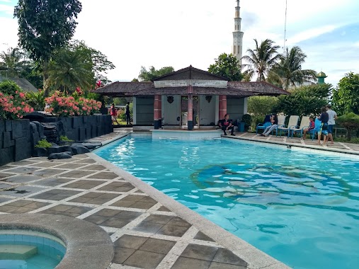
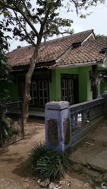
Pondok RR Waltra
Unnamed Road, Pasarean Indonesia
contacts phone
:
+62
Latitude:
-6.635016
, Longitude:
106.6535736
read more
nearest Lodging
454 m
Villa Kanaya Pamijahan Bogor
Jalan K.H Abdul Hamid No.08, Pasarean
Lodging
read more
497 m
Rumah Singgah Tamimi
No.10, Pasarean
Lodging
read more
544 m
Warnet Anugrah
Jalan K.H Abdul Hamid, Pasarean
Lodging
read more
687 m
Hotel Bersama
K.H No.08, Kp Cilengkong Kaum, 16630 Jl. K.H. Abdul Hamid, Pamijahan
Lodging
read more
1.188 km
Sekretariat SPR Tegar Beriman
Jalan K.H Abdul Hamid No.7, Pasarean
Lodging
read more
2.106 km
PONDOK PESANTREN RAUDOTHUL ULUM
Situ Udik
Lodging
read more
2.11 km
Abah Kumis
Jalan Kampung, Babakan I
Lodging
read more
2.136 km
Pondok Al-Arsyad
Karacak
Lodging
read more
2.509 km
Villa Wawan
Jalan Raya Gunung Salak Endah No.04, Gunung Picung
Lodging
read more
2.548 km
Villa Delly
Situ Udik
Lodging
read more
2.558 km
Villa Delly
Unnamed Road, Situ Udik
Lodging
read more
2.609 km
pon-pes riyadul jannah
Situ Udik
Lodging
read more
2.758 km
farm Deni Mamat
Karyasari
Lodging
read more
2.929 km
Makam Abah Nasim & Nenek Rohmah
Situ Ilir
Lodging
read more
2.992 km
Hegar Sari
Jalan Raya Cipicung, Cibening
Lodging
read more
3.077 km
Lutfi Rahmatullah
Cibitung Kulon
Lodging
read more
3.219 km
Green Salak Hotel
Gunung Picung
Lodging
read more
3.487 km
Natrabu
Jalan Raya Gunung Salak Endah No.1, Gunung Picung
Lodging
read more
4.214 km
HARIS FAMILY CAMP
Ciasihan
Lodging
read more
4.498 km
Gerbang Salaca Aldepos
Jalan Adbul Fatah, Tapos II
Lodging
read more
4.657 km
Villa Wega
Tapos II
Lodging
read more
4.705 km
Aldepos Salaca Santri Resort
Jl. Raden Abdul Fatah No.24, Tapos 2, Tenjolaya, Tapos II
Lodging
read more
5.493 km
pajagan,cibunian bogor
Jalan KH. Abdul Hamid No.252, Cibunian
Lodging
read more
6.242 km
Villa Mount Bunder
Jalan Gunung Bunder, Gunung Bunder 2
Lodging
read more
6.258 km
Centhini Resort
Jalan Gunung Bunder No.2, Gunung Bunder 2
Lodging
read more
📑
all categories
Accounting
Administrative area level 1
Administrative area level 2
Airport
Amusement park
Aquarium
Art gallery
Atm
Bakery
Bank
Bar
Beauty salon
Bicycle store
Book store
Bowling alley
Bus station
Cafe
Campground
Car dealer
Car rental
Car repair
Car wash
Casino
Cemetery
Church
City hall
Clothing store
Colloquial area
Convenience store
Courthouse
Dentist
Department store
Doctor
Electrician
Electronics store
Embassy
Finance
Fire station
Florist
Food
Funeral home
Furniture store
Gas station
General contractor
Grocery or supermarket
Gym
Hair care
Hardware store
Health
Hindu Temple
Home goods store
Hospital
Insurance agency
Intersection
Jewelry store
Laundry
Lawyer
Library
Liquor store
Local government office
Locality
Locksmith
Lodging
Meal delivery
Meal takeaway
Mosque
Movie rental
Movie theater
Moving company
Museum
Natural feature
Neighborhood
Night club
Painter
Park
Parking
Pet store
Pharmacy
Physiotherapist
Place of worship
Plumber
Point of interest
Police
Political
Post office
Premise
Real estate agency
Restaurant
Roofing contractor
Route
Rv park, camping
School
Shoe store
Shopping mall
Spa
Stadium
Storage
Store
Subpremise
Supermarket
Synagogue
Taxi stand
Train station
Transit station
Travel agency
University
Veterinary care
Zoo
administrative area level 3
administrative area level 4
administrative area level 5
sublocality level 1
↑