Cafe nearby warung azril
Indonesia
Cafe nearby warung azril
warung azril
Gang Ceria, Cikiwul Indonesien
contacts phone
:
+62
Latitude:
-6.3303272
, Longitude:
106.9967022
read more
nearest Cafe
305 m
Bakso Cak Tris Lumajang SAE
Padurenan
Cafe
read more
310 m
Waroeng Santuy
Rt04 Rw03, Jalan Kampung Cikiwul, Cikiwul
Cafe
read more
391 m
Depot Capcin Kane
perum bhineka asri 1, Padurenan
Cafe
read more
466 m
Waroeng BIGPAPA
Jalan Alun-Alun Selatan No.48, Padurenan
Cafe
read more
484 m
Mampir Mas
Jalan Pangkalan 2 No.36, Cikiwul
Cafe
read more
497 m
Warung Mak Atam
Jalan Sakim, Padurenan
Cafe
read more
516 m
Cafe Batalyon
Padurenan
Cafe
read more
575 m
Seblak Ceker Mercon Teh Yeti
Jalan pangkalan 2, Cikiwul, Bantargebang, Cikiwul
Cafe
read more
575 m
Seblak Ceker Mercon Teh Yeti
Jalan pangkalan 2, Cikiwul, Bantargebang
Cafe
read more
595 m
warung komeng
Jalan Alun-Alun Selatan, Padurenan
Cafe
read more
600 m
Cafe Tanah Merah
Jalan Alun-Alun Selatan No.48, Padurenan
Cafe
read more
612 m
Tempe Mendoan "Cah Slawi"
Jalan Pangkalan 2 No.45, Cikiwul
Cafe
read more
685 m
Warung RRI
Unnamed Road, Cikiwul
Cafe
read more
693 m
Waroeng Cipoh
Jalan Macem, Padurenan
Cafe
read more
724 m
Warung Sopel Mimi
Padurenan
Cafe
read more
796 m
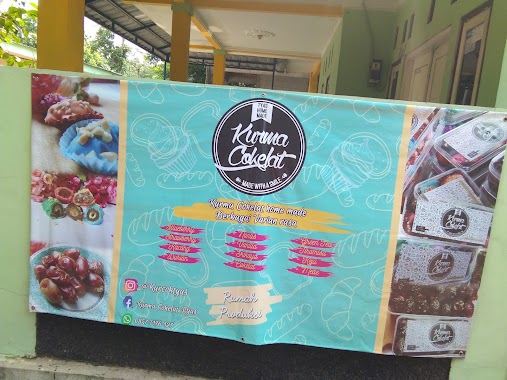
Kurma Cokelat Tyas
Jalan Pangkalan 2, Cikiwul
Cafe
read more
945 m
Batagor Aa Ryan
Jalan Pangkalan 2 No.315, Cikiwul
Cafe
read more
948 m
Bale Oyag
Jalan Rawa Tengah, Cikiwul
Cafe
read more
963 m
Warkoo Ar Razzaq
Jalan Pangkalan 2 Rt 04 Rw 03 Bantar Gebang, Cikiwul
Cafe
read more
975 m
cafe ngetop seblak teteh
Cikiwul, Bantargebang, Cikiwul
Cafe
read more
990 m
Warung Kopi Moga
dekat, Cikiwul
Cafe
read more
1.038 km
eL notre
Jalan Durian XII Blok D7 No.27, Padurenan
Cafe
read more
1.107 km
Warkop Bang Riyan
JL. Miftahul Jannah, RT.03/RW.03, Cikiwul
Cafe
read more
1.255 km
Warong Koko Tengah
Jalan Surya Kencana, Padurenan
Cafe
read more
1.287 km
Perumahan Vida
Jalan Macem No.49, Padurenan
Cafe
read more
📑
all categories
Accounting
Administrative area level 1
Administrative area level 2
Airport
Amusement park
Aquarium
Art gallery
Atm
Bakery
Bank
Bar
Beauty salon
Bicycle store
Book store
Bowling alley
Bus station
Cafe
Campground
Car dealer
Car rental
Car repair
Car wash
Casino
Cemetery
Church
City hall
Clothing store
Colloquial area
Convenience store
Courthouse
Dentist
Department store
Doctor
Electrician
Electronics store
Embassy
Finance
Fire station
Florist
Food
Funeral home
Furniture store
Gas station
General contractor
Grocery or supermarket
Gym
Hair care
Hardware store
Health
Hindu Temple
Home goods store
Hospital
Insurance agency
Intersection
Jewelry store
Laundry
Lawyer
Library
Liquor store
Local government office
Locality
Locksmith
Lodging
Meal delivery
Meal takeaway
Mosque
Movie rental
Movie theater
Moving company
Museum
Natural feature
Neighborhood
Night club
Painter
Park
Parking
Pet store
Pharmacy
Physiotherapist
Place of worship
Plumber
Point of interest
Police
Political
Post office
Premise
Real estate agency
Restaurant
Roofing contractor
Route
Rv park, camping
School
Shoe store
Shopping mall
Spa
Stadium
Storage
Store
Subpremise
Supermarket
Synagogue
Taxi stand
Train station
Transit station
Travel agency
University
Veterinary care
Zoo
administrative area level 3
administrative area level 4
administrative area level 5
sublocality level 1
↑