Bus station nearby Opposite UOB Plaza Thamrin, Jl. MH Thamrin
Coronavirus disease (COVID-19) Situation
confirmed cases
6829221
deaths
162063
Indonesia
Bus station nearby Opposite UOB Plaza Thamrin, Jl. MH Thamrin
Opposite UOB Plaza Thamrin, Jl. MH Thamrin
RT.11/RW.4, Menteng, Kota Jakarta Pusat, Daerah Khusus Ibukota Jakarta 10310, Indonesien
contacts phone
:
+62
Latitude:
-6.198078
, Longitude:
106.823353
larger map & directions
read more
nearest Bus station
121 m
Halte The City Tower
Indonesia
Bus station
read more
219 m
Halte Imam Bonjol
Jalan Raya Imam Bonjol RT.1/RW.5, Menteng
Bus station
read more
226 m
BBD
Graha Mandiri, Jalan Imam Bonjol No.61, Menteng
Bus station
read more
243 m
Opposite Graha Mandiri, Jl. Imam Bonjol
RT.2/RW.5, Menteng
Bus station
read more
459 m
Near All Seasons Thamrin
Indonesia
Bus station
read more
462 m
Alfaexpress
Indonesia
Bus station
read more
476 m
Hyatt Indonesia, Jl. Mohammad Husni Thamrin
RT.9/RW.5, Gondangdia
Bus station
read more
570 m
Halte Gereja
Jalan HOS. Cokroaminoto RT.3/RW.5, Menteng
Bus station
read more
654 m
Halte Taman Menteng
Jalan HOS. Cokroaminoto RT.3/RW.5, Menteng
Bus station
read more
694 m
Dukuh Atas 2
RT.3/RW.3, Kuningan, Setia Budi
Bus station
read more
696 m
Dukuh Atas 2
Indonesia
Bus station
read more
714 m
Latuharhari
JL. H.R. Rasuna Said, Menteng, 10310 Jakarta Pusat, Indonesia
Bus station
read more
841 m
Panorama JTB Wisma Kelai
Indonesia
Bus station
read more
907 m
Karat Stasiun, Jl. KH Mas Mansyur
RT.5/RW.5, Kebon Melati
Bus station
read more
915 m
Telkom K. H Mas Mansyur
Indonesia
Bus station
read more
937 m
Opposite Kurnia Battery
Indonesia
Bus station
read more
960 m
TPU K. H Mas Mansyur
Indonesia
Bus station
read more
969 m
Opposite Apartemen Casa Domaine
Indonesia
Bus station
read more
977 m
Halte Kecamatan
Jalan K.H. Mas Mansyur RT.1/RW.17, Kebon Melati
Bus station
read more
989 m
SMK Muhammadiyah 2 Jakarta
Indonesia
Bus station
read more
1.033 km
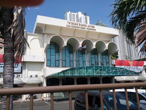
Halte Daarul Aitam
Kb. Melati Sekertariat KS212), Jalan Kh. Mas Mansyur
Bus station
read more
1.142 km
Halte Rumah Susun
Indonesia
Bus station
read more
1.142 km
Karcher
Indonesia
Bus station
read more
1.289 km
Toko Crista
Indonesia
Bus station
read more
1.352 km
Halte Masjid Jami Al Ma'mur
Indonesia
Bus station
read more
📑
all categories
Accounting
Administrative area level 1
Administrative area level 2
Airport
Amusement park
Aquarium
Art gallery
Atm
Bakery
Bank
Bar
Beauty salon
Bicycle store
Book store
Bowling alley
Bus station
Cafe
Campground
Car dealer
Car rental
Car repair
Car wash
Casino
Cemetery
Church
City hall
Clothing store
Colloquial area
Convenience store
Courthouse
Dentist
Department store
Doctor
Electrician
Electronics store
Embassy
Finance
Fire station
Florist
Food
Funeral home
Furniture store
Gas station
General contractor
Grocery or supermarket
Gym
Hair care
Hardware store
Health
Hindu Temple
Home goods store
Hospital
Insurance agency
Intersection
Jewelry store
Laundry
Lawyer
Library
Liquor store
Local government office
Locality
Locksmith
Lodging
Meal delivery
Meal takeaway
Mosque
Movie rental
Movie theater
Moving company
Museum
Natural feature
Neighborhood
Night club
Painter
Park
Parking
Pet store
Pharmacy
Physiotherapist
Place of worship
Plumber
Point of interest
Police
Political
Post office
Premise
Real estate agency
Restaurant
Roofing contractor
Route
Rv park, camping
School
Shoe store
Shopping mall
Spa
Stadium
Storage
Store
Subpremise
Supermarket
Synagogue
Taxi stand
Train station
Transit station
Travel agency
University
Veterinary care
Zoo
administrative area level 3
administrative area level 4
administrative area level 5
sublocality level 1
↑