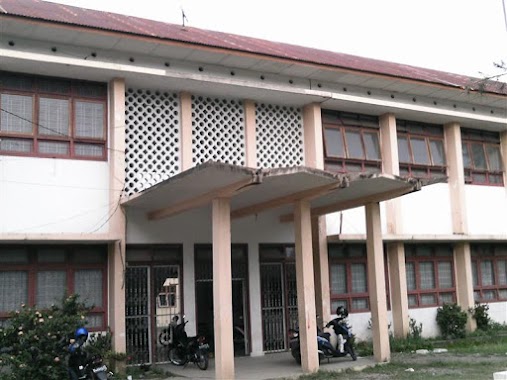
School nearby SD Negeri 3 Banda Aceh
Coronavirus disease (COVID-19) Situation
confirmed cases
6829221
deaths
162063
Indonesia
School nearby SD Negeri 3 Banda Aceh
SD Negeri 3 Banda Aceh
Lamseupeung Indonesia
contacts phone
:
+62
Latitude:
5.5490106
, Longitude:
95.3338418
read more
nearest School
341 m
Kost Biru Putri
Sukadamai
School
read more
469 m
Pengembangan TK AL-QURAN
Ateuk Pahlawan
School
read more
506 m
TK Cut Meutia
Teuku Cik Ditiro, Ateuk Pahlawan
School
read more
513 m
SMA Unggul Fajar Harapan
Ateuk Pahlawan
School
read more
581 m
Bimbel Teknos Genius Banda Aceh
Blang Cut
School
read more
594 m
Bimbel El-Fasi
Blang Cut
School
read more
632 m
Madrasah Diniyah Bahrul Ulum
Lambhuk
School
read more
633 m
Putik Meulu Building ( Paud Tk)
Jalan Teuku Iskandar No.77, Lambhuk
School
read more
675 m
MAKTABAH HAMZAH_Gudang Ilmu Bermanfaat
Lambhuk
School
read more
734 m
SD N 43 Banda Aceh
Ateuk Pahlawan
School
read more
763 m
Sekolah Dasar Negeri 43 Banda Aceh
Ateuk Pahlawan
School
read more
778 m
TK Latifa
Ateuk Pahlawan
School
read more
830 m
SD N 32 Banda Aceh
Beurawe
School
read more
846 m
Balee Seumeubeut Babul 'Ulum
Ateuk Pahlawan
School
read more
850 m
SD N 30
Ateuk Pahlawan
School
read more
875 m
SDLB Banda Aceh
Ateuk Pahlawan
School
read more
879 m
Muharram Jounalism College (MJC) Banda Aceh
Jalan Angsa No.23, Batoh
School
read more
922 m
SMP Cut Meutia Banda Aceh
Ateuk Pahlawan
School
read more
947 m
SMA Plus Athiyah
Beurawe
School
read more
955 m
SMA Cut Meutia
Teuku Cik Ditiro, Ateuk Pahlawan
School
read more
971 m
Graha Wisata School
JL. Teuku Hasan Dek, No. 4, Jambo Tape, Banda Aceh, Kuta Alam
School
read more
1.058 km
Kelompok Bermain PAUD Permata Hati
Kuta Alam
School
read more
1.175 km
Tk.alifba II
Jalan Pemuda, Lambhuk
School
read more
1.197 km
LKP Yayasan Pendidikan Creative
Jalan Bakti Pemuda 10 No.No
School
read more
1.29 km
LBPP LIA CKS Banda Aceh
Jl. Tgk. Daud Beureuh No. 173, Kuta Alam
School
read more
📑
all categories
Accounting
Administrative area level 1
Administrative area level 2
Airport
Amusement park
Aquarium
Art gallery
Atm
Bakery
Bank
Bar
Beauty salon
Bicycle store
Book store
Bowling alley
Bus station
Cafe
Campground
Car dealer
Car rental
Car repair
Car wash
Casino
Cemetery
Church
City hall
Clothing store
Colloquial area
Convenience store
Courthouse
Dentist
Department store
Doctor
Electrician
Electronics store
Embassy
Finance
Fire station
Florist
Food
Funeral home
Furniture store
Gas station
General contractor
Grocery or supermarket
Gym
Hair care
Hardware store
Health
Hindu Temple
Home goods store
Hospital
Insurance agency
Intersection
Jewelry store
Laundry
Lawyer
Library
Liquor store
Local government office
Locality
Locksmith
Lodging
Meal delivery
Meal takeaway
Mosque
Movie rental
Movie theater
Moving company
Museum
Natural feature
Neighborhood
Night club
Painter
Park
Parking
Pet store
Pharmacy
Physiotherapist
Place of worship
Plumber
Point of interest
Police
Political
Post office
Premise
Real estate agency
Restaurant
Roofing contractor
Route
Rv park, camping
School
Shoe store
Shopping mall
Spa
Stadium
Storage
Store
Subpremise
Supermarket
Synagogue
Taxi stand
Train station
Transit station
Travel agency
University
Veterinary care
Zoo
administrative area level 3
administrative area level 4
administrative area level 5
sublocality level 1
↑