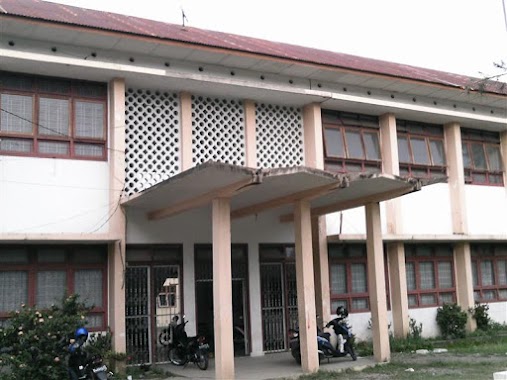
School nearby SD N 43 Banda Aceh
Coronavirus disease (COVID-19) Situation
confirmed cases
6829221
deaths
162063
Indonesia
School nearby SD N 43 Banda Aceh
SD N 43 Banda Aceh
Ateuk Pahlawan Indonesia
contacts phone
:
+62
Latitude:
5.5497028
, Longitude:
95.3272433
read more
nearest School
151 m
SD N 30
Ateuk Pahlawan
School
read more
270 m
SMA Cut Meutia
Teuku Cik Ditiro, Ateuk Pahlawan
School
read more
339 m
TK Cut Meutia
Teuku Cik Ditiro, Ateuk Pahlawan
School
read more
355 m
TK Latifa
Ateuk Pahlawan
School
read more
400 m
Kost Biru Putri
Sukadamai
School
read more
404 m
SD Negeri 23
Jalan TM Pahlawan No.20, Ateuk Pahlawan
School
read more
417 m
Prima Citra Computer (PC²)
Peuniti
School
read more
448 m
Balai Pengajian Darul Mukarramah Peuniti
Jalan Aladin Mansyursyah, Peuniti
School
read more
575 m
Akademi Teknik Iskandar Muda
Peuniti
School
read more
653 m
Bimbel Al 'Alim
Peuniti
School
read more
691 m
SD Negeri 03
Peuniti
School
read more
852 m
Graha Wisata School
JL. Teuku Hasan Dek, No. 4, Jambo Tape, Banda Aceh, Kuta Alam
School
read more
888 m
SD N 32 Banda Aceh
Beurawe
School
read more
911 m
LKP Sonny Sugema College Banda Aceh
JL. Tgk Daud Beureuh Depan SMAN No.3, Laksana
School
read more
930 m
KIDDOS English School
Jl. Tgk. HM. Daud Beureueh No 43, Keuramat
School
read more
968 m
SD Negeri 40 Banda Aceh
Peuniti
School
read more
981 m
Tk pemda
Neusu Jaya
School
read more
987 m
MI Swasta Al Mansuriyah
Peuniti
School
read more
1.038 km
Primary School Kartika
Lorong Neusu Sentosa Jaya, Neusu Jaya
School
read more
1.04 km
Entrepreneur School
Peuniti
School
read more
1.078 km
Muharram Jounalism College (MJC) Banda Aceh
Jalan Angsa No.23, Batoh
School
read more
1.102 km
SD Negeri 77
Jalan Nyak Adam Kamil II No.3, Neusu Jaya
School
read more
1.113 km
Bimbel Siswa Cerdas
Ateuk Munjeng
School
read more
1.133 km
SMP Negeri 3 Banda Aceh
Neusu Jaya
School
read more
1.172 km
SD Negeri 2 Nisam
JL. Panglima Polim, No. 177, Peunanyong, Nisam, Blang Ciok, Peunayong
School
read more
📑
all categories
Accounting
Administrative area level 1
Administrative area level 2
Airport
Amusement park
Aquarium
Art gallery
Atm
Bakery
Bank
Bar
Beauty salon
Bicycle store
Book store
Bowling alley
Bus station
Cafe
Campground
Car dealer
Car rental
Car repair
Car wash
Casino
Cemetery
Church
City hall
Clothing store
Colloquial area
Convenience store
Courthouse
Dentist
Department store
Doctor
Electrician
Electronics store
Embassy
Finance
Fire station
Florist
Food
Funeral home
Furniture store
Gas station
General contractor
Grocery or supermarket
Gym
Hair care
Hardware store
Health
Hindu Temple
Home goods store
Hospital
Insurance agency
Intersection
Jewelry store
Laundry
Lawyer
Library
Liquor store
Local government office
Locality
Locksmith
Lodging
Meal delivery
Meal takeaway
Mosque
Movie rental
Movie theater
Moving company
Museum
Natural feature
Neighborhood
Night club
Painter
Park
Parking
Pet store
Pharmacy
Physiotherapist
Place of worship
Plumber
Point of interest
Police
Political
Post office
Premise
Real estate agency
Restaurant
Roofing contractor
Route
Rv park, camping
School
Shoe store
Shopping mall
Spa
Stadium
Storage
Store
Subpremise
Supermarket
Synagogue
Taxi stand
Train station
Transit station
Travel agency
University
Veterinary care
Zoo
administrative area level 3
administrative area level 4
administrative area level 5
sublocality level 1
↑