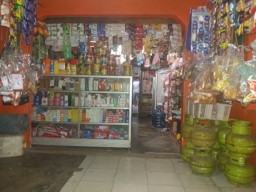
Supermarket nearby Warung Nayla
Coronavirus disease (COVID-19) Situation
confirmed cases
6829221
deaths
162063
Indonesia
Supermarket nearby Warung Nayla
Warung Nayla
Bantarjati, North Bogor, Bogor City, West Java 16153, Indonesia
contacts phone
:
+62
Latitude:
-6.5815138
, Longitude:
106.8043067
larger map & directions
read more
nearest Supermarket
238 m
Warung Embef
Jalan Ciremai Ujung No.6, Bantarjati
Supermarket
read more
479 m
Warung Orin
Gang Pesantren, Bantarjati
Supermarket
read more
505 m
Indomart Bangbarung
Jl. Bangbarung Raya No. 11 Rt. 001 Rw 007, Bantar Jati, Bogor Utara, Bantarjati
Supermarket
read more
506 m
Warung Dara
Bantarjati
Supermarket
read more
629 m
Warung Teh Yuni
Bantarjati
Supermarket
read more
678 m
Warung Umi Ipah
Jalan Raya Pajajaran, Bantarjati
Supermarket
read more
706 m
Toko One
Unnamed Road, Sempur
Supermarket
read more
868 m
Warung Sembako Bang RUDI
Gang Lurah Patinah, Tegal Gundil
Supermarket
read more
872 m
DEPOT ES SARI PETODJO H. MASKAT TAMAN KENCANA
Kampung Parung Jambu, Babakan
Supermarket
read more
875 m
Kios Meymey
Jalan Ciremai Ujung, Bantarjati
Supermarket
read more
886 m
Toko Gagu
Jalan Kesehatan, Tanah Sareal
Supermarket
read more
910 m
TOKO ANGGINA
Jalan Artzimar II No.10, Tegal Gundil
Supermarket
read more
924 m
wr Ciluk Baaa
Jalan Lincar IV No.9, Tegal Gundil
Supermarket
read more
926 m
Warung barokah
Jalan Tatapakan III No.1, Tegal Gundil
Supermarket
read more
945 m
Warung Bakok
Jalan Kesehatan, Tanah Sareal
Supermarket
read more
965 m
Warung Lastri
Jalan Arzimar I No.4, Tegal Gundil
Supermarket
read more
1.073 km
Toko Rayhan
Jalan Parikesit III No.10, Bantarjati
Supermarket
read more
1.239 km
Yogya Bogor Junction
Jalan Gang Pabaton No.63, Pabaton
Supermarket
read more
1.625 km
depot isi ulang air tegallega
Jalan Tegallega No.7, Tegallega
Supermarket
read more
1.754 km
Warung TU
Gang Pasama No.02, Ciwaringin
Supermarket
read more
1.821 km
AHS ISMAN
Jalan Ciwaringin No.18, RT.3/RW.8, Ciwaringin
Supermarket
read more
1.996 km
Toko Sinar Maju
Jl. Moh. A. Salamun no.40cd, Ciwaringin
Supermarket
read more
2.047 km
Warung Iqbal
Jalan Cimanggu Tijan Blok Pahlawan No.29, Kedung Jaya
Supermarket
read more
2.162 km
Warung Sayur Ibu Jurig
Jalan Cimanggu Warung Legok No.18, Kedung Badak
Supermarket
read more
2.204 km
Teras Matahari
Jalan Kapten Muslihat No.14, Paledang
Supermarket
read more
📑
all categories
Accounting
Administrative area level 1
Administrative area level 2
Airport
Amusement park
Aquarium
Art gallery
Atm
Bakery
Bank
Bar
Beauty salon
Bicycle store
Book store
Bowling alley
Bus station
Cafe
Campground
Car dealer
Car rental
Car repair
Car wash
Casino
Cemetery
Church
City hall
Clothing store
Colloquial area
Convenience store
Courthouse
Dentist
Department store
Doctor
Electrician
Electronics store
Embassy
Finance
Fire station
Florist
Food
Funeral home
Furniture store
Gas station
General contractor
Grocery or supermarket
Gym
Hair care
Hardware store
Health
Hindu Temple
Home goods store
Hospital
Insurance agency
Intersection
Jewelry store
Laundry
Lawyer
Library
Liquor store
Local government office
Locality
Locksmith
Lodging
Meal delivery
Meal takeaway
Mosque
Movie rental
Movie theater
Moving company
Museum
Natural feature
Neighborhood
Night club
Painter
Park
Parking
Pet store
Pharmacy
Physiotherapist
Place of worship
Plumber
Point of interest
Police
Political
Post office
Premise
Real estate agency
Restaurant
Roofing contractor
Route
Rv park, camping
School
Shoe store
Shopping mall
Spa
Stadium
Storage
Store
Subpremise
Supermarket
Synagogue
Taxi stand
Train station
Transit station
Travel agency
University
Veterinary care
Zoo
administrative area level 3
administrative area level 4
administrative area level 5
sublocality level 1
↑