Supermarket nearby Warung Bang Cosa
Indonesia
Supermarket nearby Warung Bang Cosa
Warung Bang Cosa
Unnamed Road, Ligarmukti Indonesia
contacts phone
:
+62
Latitude:
-6.4763782
, Longitude:
106.9914541
read more
nearest Supermarket
2.422 km
Toko Alea
Unnamed Road, Cikahuripan
Supermarket
read more
2.423 km
QUINBY SHOP
Perum Pesona Kahuripan D8 No.15, Klapanunggal 16710, Cikahuripan
Supermarket
read more
2.429 km
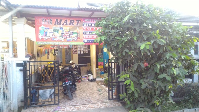
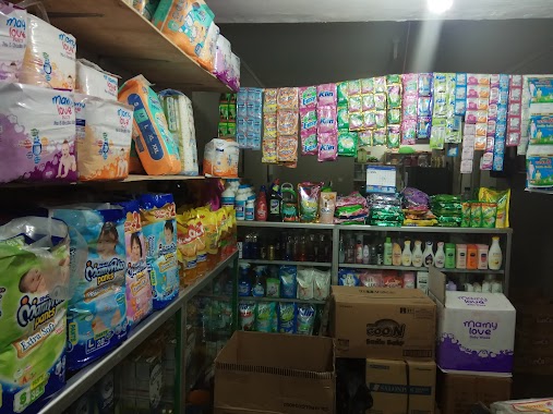
Erlan Erlin MART
Perum Pesona Kahuripan No.Kel, Cikahuripan
Supermarket
read more
2.43 km
Toko Susu Rahma
Cikahuripan
Supermarket
read more
2.961 km
Warung Raihan
Unnamed Road, Bojong
Supermarket
read more
3.164 km
Toko Sepatu & Sandal Fattan Duo
Rt.018 Rw.007 No, 63, Cikahuripan
Supermarket
read more
3.244 km
Toko Kosmetik Pak Wawan
Cikahuripan
Supermarket
read more
3.374 km
WR. UCOK A'AN
Cikahuripan
Supermarket
read more
3.379 km
Alfamart
Jalan Raya Klapanunggal, Cikahuripan
Supermarket
read more
3.405 km
Toko Rangkuti
Cikahuripan
Supermarket
read more
3.445 km
Warung GALUH GIBRAN
Klp., Klapanunggal
Supermarket
read more
3.553 km
Toko Egi, Agen dan Eceran Telor Ayam
Cikahuripan
Supermarket
read more
3.673 km
Konter Cahya 87
Jalan Raya Klapanunggal, Cikahuripan
Supermarket
read more
3.809 km
Indomaret
Jalan Bojong, Bojong
Supermarket
read more
3.828 km
Graha Mustika Cileungsi Blok A8/8
Jalan Bojong Klapanunggal, Bojong
Supermarket
read more
4.205 km
Warung Ridho
Klp., Klapanunggal
Supermarket
read more
4.205 km
Toko Ridho
Klp., Klapanunggal
Supermarket
read more
4.389 km
Toko Sembako Mamah Aldi
Klapanunggal
Supermarket
read more
4.492 km
Toko Mimi Aqilah PH Enam
6, Jalan Puri Harmoni 1 Raya, Dayeuh
Supermarket
read more
4.742 km
Mushola Jami Albarokah
Dayeuh
Supermarket
read more
4.895 km
T O Lianie
Jalan Raya Klapanunggal, Klapanunggal
Supermarket
read more
5.043 km
Indomaret Mampir (Order Grab,Gojek dan Uber)
Mampir
Supermarket
read more
5.044 km
warung sembako pa'de mulia asih
Singasari
Supermarket
read more
5.403 km
Warung 4 Saudara K23/112
Jonggol, Wijaya Kusuma K23/116 Citra Indah City K23/116
Supermarket
read more
5.861 km
Warung Kang Husen
Jalan Raya Narogong No.438, Dayeuh
Supermarket
read more
📑
all categories
Accounting
Administrative area level 1
Administrative area level 2
Airport
Amusement park
Aquarium
Art gallery
Atm
Bakery
Bank
Bar
Beauty salon
Bicycle store
Book store
Bowling alley
Bus station
Cafe
Campground
Car dealer
Car rental
Car repair
Car wash
Casino
Cemetery
Church
City hall
Clothing store
Colloquial area
Convenience store
Courthouse
Dentist
Department store
Doctor
Electrician
Electronics store
Embassy
Finance
Fire station
Florist
Food
Funeral home
Furniture store
Gas station
General contractor
Grocery or supermarket
Gym
Hair care
Hardware store
Health
Hindu Temple
Home goods store
Hospital
Insurance agency
Intersection
Jewelry store
Laundry
Lawyer
Library
Liquor store
Local government office
Locality
Locksmith
Lodging
Meal delivery
Meal takeaway
Mosque
Movie rental
Movie theater
Moving company
Museum
Natural feature
Neighborhood
Night club
Painter
Park
Parking
Pet store
Pharmacy
Physiotherapist
Place of worship
Plumber
Point of interest
Police
Political
Post office
Premise
Real estate agency
Restaurant
Roofing contractor
Route
Rv park, camping
School
Shoe store
Shopping mall
Spa
Stadium
Storage
Store
Subpremise
Supermarket
Synagogue
Taxi stand
Train station
Transit station
Travel agency
University
Veterinary care
Zoo
administrative area level 3
administrative area level 4
administrative area level 5
sublocality level 1
↑