School nearby Smp Perintis Cileungsi
Indonesia
School nearby Smp Perintis Cileungsi
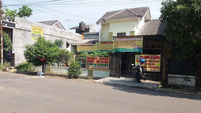
Smp Perintis Cileungsi
Cipenjo, Cileungsi, Bogor, West Java, Indonesia
contacts phone
:
+62 838-9321-7336
Latitude:
-6.3932682
, Longitude:
106.9909271
larger map & directions
read more
nearest School
56 m
TKIT, SDIT, SMPIT IQRO KAIRO
Jalan Mandor Senan, Cipenjo
School
read more
372 m
LKP RCEP
boulevard cluster dianthus A blok, Blok DA.4/9, Cipenjo
School
read more
372 m
TK Al Madinah 2
Blok DK1, Boulevard Metland Cileungsi No.2, Cipenjo
School
read more
392 m
RCEP Harvest City
Cluster Dianthus A Harvest city, Cipenjo
School
read more
475 m
kursus komputer www.rumah-belajar.com
Cipenjo
School
read more
503 m
TK Ar -Rizky
Cipenjo
School
read more
514 m
AYOPINTER HARVEST CITY
Jalan Harvest City Boulevard, Mekarsari
School
read more
523 m
Harvest Stars School - Toddler, Playgroup & Kindergarten
Harvest City Ruko Dianthus Blok RD1 No. 26 Cileungsi, Cipenjo
School
read more
543 m
SEKOLAH ST. YOSEPH
Cipenjo
School
read more
550 m
SPS Perintis Azahra
Cipenjo
School
read more
564 m
TPQ At-Tashfiyah
Cipenjo
School
read more
579 m
Perumahan Harvest City
Blok DD XII, Cipenjo
School
read more
579 m
Ravasia Hills Preschool & Kindergarten
Metland Cileungsi Melati DB1 no, 10, Cipenjo
School
read more
664 m
Yayasan Kharisma AZZAHRA
Jalan Metland, Cipenjo
School
read more
843 m
Sekolah Dasar Sds Danbi Bersinar
Jalan Harvest City Boulevard, Cipenjo
School
read more
886 m
PAUD Nurul Islam 2
Cipenjo
School
read more
899 m
TK. Salman Al-Farisi
Jalan Mandor Senan, Cipenjo
School
read more
911 m
Futsal Academy Pastwo
Jalan Gempol, Pasir Angin
School
read more
932 m
SDN 2 PASIR ANGIN
Pasir Angin
School
read more
960 m
Sanyo Harvest 2
Jalan Harvest City Boulevard, Cipenjo
School
read more
972 m
TK ISLAM AL KHOIR
Jalan Metland Cileungsi No.9, Cipenjo
School
read more
983 m
Tk Islam As Syahid
Cipenjo
School
read more
1.017 km
SDN Pasirangin 01
Jl. Nandor Senan Cipenjo, Cileungsi, Cipenjo
School
read more
1.028 km
Sekolah Dasar Negri Pasir Angin 06
Cipenjo
School
read more
1.327 km
SDN Cipenjo
Cipenjo
School
read more
📑
all categories
Accounting
Administrative area level 1
Administrative area level 2
Airport
Amusement park
Aquarium
Art gallery
Atm
Bakery
Bank
Bar
Beauty salon
Bicycle store
Book store
Bowling alley
Bus station
Cafe
Campground
Car dealer
Car rental
Car repair
Car wash
Casino
Cemetery
Church
City hall
Clothing store
Colloquial area
Convenience store
Courthouse
Dentist
Department store
Doctor
Electrician
Electronics store
Embassy
Finance
Fire station
Florist
Food
Funeral home
Furniture store
Gas station
General contractor
Grocery or supermarket
Gym
Hair care
Hardware store
Health
Hindu Temple
Home goods store
Hospital
Insurance agency
Intersection
Jewelry store
Laundry
Lawyer
Library
Liquor store
Local government office
Locality
Locksmith
Lodging
Meal delivery
Meal takeaway
Mosque
Movie rental
Movie theater
Moving company
Museum
Natural feature
Neighborhood
Night club
Painter
Park
Parking
Pet store
Pharmacy
Physiotherapist
Place of worship
Plumber
Point of interest
Police
Political
Post office
Premise
Real estate agency
Restaurant
Roofing contractor
Route
Rv park, camping
School
Shoe store
Shopping mall
Spa
Stadium
Storage
Store
Subpremise
Supermarket
Synagogue
Taxi stand
Train station
Transit station
Travel agency
University
Veterinary care
Zoo
administrative area level 3
administrative area level 4
administrative area level 5
sublocality level 1
↑