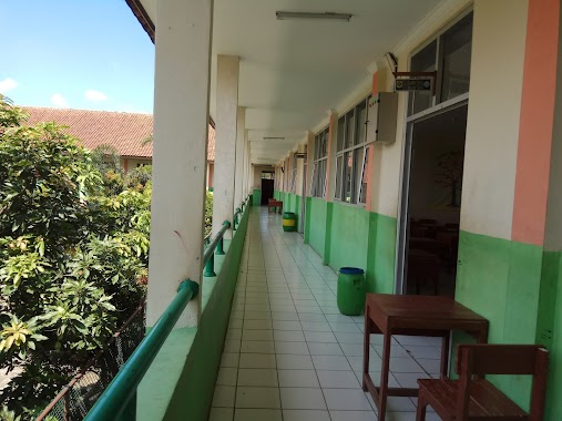
School nearby Sdn citayem 3
Indonesia
School nearby Sdn citayem 3
Sdn citayem 3
Cipayung Jaya, Cipayung, Depok City, West Java 16437, Indonesien
contacts phone
:
+62
Latitude:
-6.4482101
, Longitude:
106.7968525
larger map & directions
read more
nearest School
220 m
Sanggar Gambar Azalia
Jalan Pemuda Kampung Pulo No.17, Cipayung Jaya
School
read more
284 m
SDN Citayam 01
Jalan Setapak No.7, RT.3/RW.6, Bojong Pondok Terong
School
read more
305 m
Madrasah Ibtidaiyah Swasta Muhammadiyah 2
Jalan Raya Cipayung Jaya No.12, Bojong Pondok Terong
School
read more
322 m
RA/Ba/Ta Nurul Hayat
JL. Cipayung Raya, Bojong Pondok Terong
School
read more
449 m
Mi Tansyitul Muta'allimin
Jalan Raya Pabuaran No.3, Bojong Pondok Terong
School
read more
457 m
sekolah smpn 02 bojong gede
Jalan Akar Wangi II, Ragajaya
School
read more
475 m
Smp Bojong Satu
Jalan Pertanian, Ragajaya
School
read more
530 m
TKIT-SDIT MAURITANIYYAH
Jalan Perum Lembah Griya Citayam No.6, Cipayung Jaya
School
read more
540 m
YPI UMMU'L AMINAH
Jalan Raya Citayam No.99, Ratu Jaya
School
read more
606 m
Komplek statistik
komplek, Jalan Statistik, Pondok Bambu
School
read more
663 m
SMA WIRA BUANA BOJONGGEDE
Jalan Camat Kanang No.89, Pabuaran
School
read more
671 m
Majelis Ta'lim Nur Qurrotul Qolbi
Jalan Ken Arok No.1, RT.06, Pabuaran
School
read more
771 m
Sekolah Menengah Pertama Islam Terpadu Alexandria
Jalan Pertanian No.9, RT.4/RW.4, Cipayung Jaya
School
read more
861 m
SDI Al - Basyariah
Kp. Plered Rt 01 Rw 12 Ds. Pabuaran, Pabuaran
School
read more
888 m
Sekolah Menengah Kejuruan Islam Nurul Hayat
Jalan Kampung Lio No.34, Bojong Pondok Terong
School
read more
947 m
sekolah dutaekselensia
Jalan Aira Raya No.3, RT.1/RW.16, Pabuaran
School
read more
966 m
SDN Cipayung 2
Rt 03 Rw 03 Kelurahan Jaya Kecamatan Cipayung, Gang Masjid, Cipayung
School
read more
988 m
Tk Al Amin
No., Jalan Raya Pesona Citayam No.73, Pabuaran
School
read more
989 m
SDIT Mawaddah 3
Jalan Kampung Utan Jaya No.31, Rawa Panjang
School
read more
1000 m
SD Negeri 02 Karehkel
JL Pabuaran, RT. 002/10, Keracak Leuwiliang
School
read more
1.014 km
SMPN 2 Bojonggede
Komplek Atsiri Permai, Jalan Raya Citayam, Raga Jaya, Bojonggede, Ragajaya
School
read more
1.029 km
SBB /RS BINTANG SEMBILAN
Rawa Panjang
School
read more
1.046 km
MT. Nurul Muslimat
Jalan Masjid Uswatun Hasanah No.15, Rawa Panjang
School
read more
1.077 km
RA AL DENA
Jalan Komplek Depag, Pabuaran
School
read more
1.166 km
SDIT NUR MURIA
Palabali RT 011/06 Kel. 16444, Gang Damai, Bojong Pondok Terong
School
read more
📑
all categories
Accounting
Administrative area level 1
Administrative area level 2
Airport
Amusement park
Aquarium
Art gallery
Atm
Bakery
Bank
Bar
Beauty salon
Bicycle store
Book store
Bowling alley
Bus station
Cafe
Campground
Car dealer
Car rental
Car repair
Car wash
Casino
Cemetery
Church
City hall
Clothing store
Colloquial area
Convenience store
Courthouse
Dentist
Department store
Doctor
Electrician
Electronics store
Embassy
Finance
Fire station
Florist
Food
Funeral home
Furniture store
Gas station
General contractor
Grocery or supermarket
Gym
Hair care
Hardware store
Health
Hindu Temple
Home goods store
Hospital
Insurance agency
Intersection
Jewelry store
Laundry
Lawyer
Library
Liquor store
Local government office
Locality
Locksmith
Lodging
Meal delivery
Meal takeaway
Mosque
Movie rental
Movie theater
Moving company
Museum
Natural feature
Neighborhood
Night club
Painter
Park
Parking
Pet store
Pharmacy
Physiotherapist
Place of worship
Plumber
Point of interest
Police
Political
Post office
Premise
Real estate agency
Restaurant
Roofing contractor
Route
Rv park, camping
School
Shoe store
Shopping mall
Spa
Stadium
Storage
Store
Subpremise
Supermarket
Synagogue
Taxi stand
Train station
Transit station
Travel agency
University
Veterinary care
Zoo
administrative area level 3
administrative area level 4
administrative area level 5
sublocality level 1
↑