School nearby POMPES SUNDU AT TOYYIBB CITY
Indonesia
School nearby POMPES SUNDU AT TOYYIBB CITY
POMPES SUNDU AT TOYYIBB CITY
Cikeas Indonesia
contacts phone
:
+62
Latitude:
-6.5949095
, Longitude:
106.841234
read more
nearest School
25 m
Pondok Pesantren Sundus At-Thoyib
Cikeas
School
read more
358 m
Sanggar Kosacil
Jalan Sukaraja No.31, Cikeas
School
read more
387 m
IPWL BALARENIK
Jalan Pepaya, Sukaraja
School
read more
394 m
Madrasah Ibtidaiyah Swasta (MIS) Fathul Khoeriyah
Cikeas
School
read more
446 m
Yayasan Assajaah
Jalan Griya Soka 1, Sukaraja
School
read more
521 m
TK Riyadhus Shalihin
Sukaraja
School
read more
625 m
Majelis Ta'lim Jalu Hisyam
Cikeas
School
read more
632 m
MIS Fathussa'ada Sukaraja
Sukaraja
School
read more
635 m
pesantren al barokah
Cikeas
School
read more
639 m
pesantren al barokah babakan
Cikeas
School
read more
645 m
Madrasah Ibtidaiyah Fathuss'adah
Jalan Sukaraja No.40, Sukaraja
School
read more
650 m
Mis F
Jalan Sukaraja No.8, RT.6/RW.7
School
read more
654 m
MtsS Fathussa'adah
Jalan Sukaraja No.8, RT.6/RW.7, Sukaraja
School
read more
669 m
Madrasah Diniyah I'dadiyah/Awaliyah/Wustho/Ulya
Jalan Sukaraja, Cikeas
School
read more
752 m
Bimba Aiueo Sukaraja
Jalan Sukaraja No.19, Sukaraja
School
read more
760 m
TK AL MUHAJIRIN
Sukaraja
School
read more
763 m
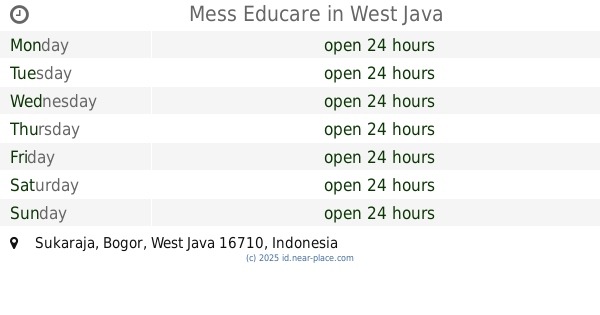
Mess Educare
Sukaraja
School
read more
837 m
SDN Cikeas 01
Cikeas
School
read more
953 m
DT Fathul Khoeriyyah
Cikeas
School
read more
1.029 km
SMPNegeri 1 Sukaraja
Jalan Babakan Tumas, Cikeas, Sukaraja
School
read more
1.1 km
PAUD NURUL QUR'AN
No.bc-16,, Jalan Parung Aleng, Cikeas
School
read more
1.206 km
Pon_Pes Tarbiyatussibyan
Kp Cibitung Rt 01/02, Nagrak
School
read more
1.227 km
Darul Ulum Nagrak
No.bc-16, Jalan Parung Aleng, Cikeas
School
read more
1.277 km
SMK PGRI 4 Bogor
kp. Kebon karet rt. 01/06, Jalan Guru Muchtar, Cimahpar
School
read more
1.29 km
MTs NUURUL QURAN
Jalan Parung Aleng, Cikeas
School
read more
📑
all categories
Accounting
Administrative area level 1
Administrative area level 2
Airport
Amusement park
Aquarium
Art gallery
Atm
Bakery
Bank
Bar
Beauty salon
Bicycle store
Book store
Bowling alley
Bus station
Cafe
Campground
Car dealer
Car rental
Car repair
Car wash
Casino
Cemetery
Church
City hall
Clothing store
Colloquial area
Convenience store
Courthouse
Dentist
Department store
Doctor
Electrician
Electronics store
Embassy
Finance
Fire station
Florist
Food
Funeral home
Furniture store
Gas station
General contractor
Grocery or supermarket
Gym
Hair care
Hardware store
Health
Hindu Temple
Home goods store
Hospital
Insurance agency
Intersection
Jewelry store
Laundry
Lawyer
Library
Liquor store
Local government office
Locality
Locksmith
Lodging
Meal delivery
Meal takeaway
Mosque
Movie rental
Movie theater
Moving company
Museum
Natural feature
Neighborhood
Night club
Painter
Park
Parking
Pet store
Pharmacy
Physiotherapist
Place of worship
Plumber
Point of interest
Police
Political
Post office
Premise
Real estate agency
Restaurant
Roofing contractor
Route
Rv park, camping
School
Shoe store
Shopping mall
Spa
Stadium
Storage
Store
Subpremise
Supermarket
Synagogue
Taxi stand
Train station
Transit station
Travel agency
University
Veterinary care
Zoo
administrative area level 3
administrative area level 4
administrative area level 5
sublocality level 1
↑