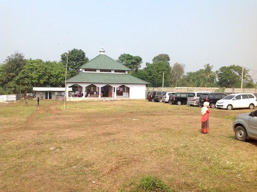
School nearby Paud Al- Ikhsan
Indonesia
School nearby Paud Al- Ikhsan
Paud Al- Ikhsan
kp iwul rt 02/03 bojong sempu, Bojong Sempu Indonesia
contacts phone
:
+62
Latitude:
-6.4490769
, Longitude:
106.7037825
read more
nearest School
534 m
SMPIT Insan Mandiri Parung
Parigi Mekar
School
read more
547 m
Insan Mandiri Parung
Jl. Kades, RT 05 RW 02, Desa Bojong Sempu, Parung, Bogor, Parigi Mekar
School
read more
780 m
SMA Al Ashriyyah Nurul Iman
Iwul
School
read more
780 m
SMP Al Ashriyyah Nurul Iman
Jalan Nurul Iman No.01,RT.01 RW.01, Waru Jaya, Parung, Iwul
School
read more
788 m
TPA NURUL PALAH ibu Barkah
Desa perigi mekar, Parigi Mekar
School
read more
850 m
MTS. Al Mukhlisin
Parigi Mekar
School
read more
968 m
SD Negri PARIGI MEKAR
Jalan Setapak No.48, Parigi Mekar
School
read more
1.041 km
Pondok Pesantren al Asyariah nurul iman
Warujaya
School
read more
1.099 km
KAMPUS STAINI SEKOLAH TINGGI AGAMA ISLAM NURUL IMAN
Warujaya
School
read more
1.222 km
SMP Muhammadiyah 37 Parung
Jl. H. Mawi No.292, Bojong Indah, Parung kab., Bogar, Bojong Indah
School
read more
1.231 km
Pondok Pesantren Nurul Iman
Gang SMUN I, Warujaya
School
read more
1.442 km
KBIH SIRAJUL FALAH INDONESIA
JL H. Mawi, No. 42, RT 02 RW 01, Bojong Indah, Parung, Bojong Sempu
School
read more
1.503 km
Pondok Pesantren Sirajul Falah
Jalan Haji Mawi No.42, Bojong Indah
School
read more
1.521 km
PAUD ALAM NASROH
Jalan Setapak No.51, Warujaya
School
read more
1.546 km
SDN BABAKAN 01
Babakan
School
read more
1.581 km
MIS. MIFTAHUL ATHFAL 03
Jalan Desa Jabon Mekar, Jabon Mekar
School
read more
1.628 km
Pondok Pesantren An Nur
Iwul, Parung, Iwul
School
read more
1.648 km
MIS MATHLA'UL ANWAR CISEENG
Jl. Nengah RT. 01 / RW. 02, Ciseeng
School
read more
1.907 km
Konsuler Academy
Bojong Indah
School
read more
2.068 km
TK.Alfath Desa Cihoe Gunung Kapur
Cogreg
School
read more
2.098 km
SMP YPUI Parung
Jl. H Nawi, RT. 02 / 01, Waru, Parung, Warujaya
School
read more
2.098 km
Pondok Pesantren Riyadlul Jannah
Jalan Raya Jampang Binong No.33, Babakan
School
read more
2.195 km
SMK NURISBA
Jalan Amd Raya 39, Babakan
School
read more
2.304 km
MI Swasta at-Taqwa
Waru
School
read more
2.34 km
Taman Kanak Kanak Islam Nurul Fatimah
Jalan Haji Mawi No.15a, Waru
School
read more
📑
all categories
Accounting
Administrative area level 1
Administrative area level 2
Airport
Amusement park
Aquarium
Art gallery
Atm
Bakery
Bank
Bar
Beauty salon
Bicycle store
Book store
Bowling alley
Bus station
Cafe
Campground
Car dealer
Car rental
Car repair
Car wash
Casino
Cemetery
Church
City hall
Clothing store
Colloquial area
Convenience store
Courthouse
Dentist
Department store
Doctor
Electrician
Electronics store
Embassy
Finance
Fire station
Florist
Food
Funeral home
Furniture store
Gas station
General contractor
Grocery or supermarket
Gym
Hair care
Hardware store
Health
Hindu Temple
Home goods store
Hospital
Insurance agency
Intersection
Jewelry store
Laundry
Lawyer
Library
Liquor store
Local government office
Locality
Locksmith
Lodging
Meal delivery
Meal takeaway
Mosque
Movie rental
Movie theater
Moving company
Museum
Natural feature
Neighborhood
Night club
Painter
Park
Parking
Pet store
Pharmacy
Physiotherapist
Place of worship
Plumber
Point of interest
Police
Political
Post office
Premise
Real estate agency
Restaurant
Roofing contractor
Route
Rv park, camping
School
Shoe store
Shopping mall
Spa
Stadium
Storage
Store
Subpremise
Supermarket
Synagogue
Taxi stand
Train station
Transit station
Travel agency
University
Veterinary care
Zoo
administrative area level 3
administrative area level 4
administrative area level 5
sublocality level 1
↑