School nearby MIS TARBIYATUL ISLAMIYAH
Indonesia
School nearby MIS TARBIYATUL ISLAMIYAH
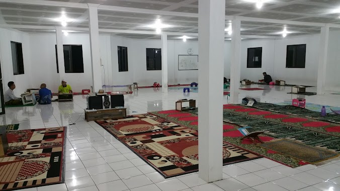
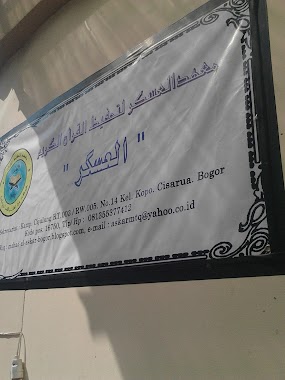
MIS TARBIYATUL ISLAMIYAH
Sukakarya Indonesia
contacts phone
:
+62
Latitude:
-6.6677676
, Longitude:
106.8829483
read more
nearest School
512 m
Smp Darultauhid
Jalan Raya Pasir Muncang No.99, Sukamahi
School
read more
519 m
LPS Suryanata
Jalan Cikopo Selatan No.RT 01, Gadog
School
read more
541 m
Madrasah Diniyah Darul Taufiq
Jalan Cikopo Selatan No.Km. 06, Sukamahi
School
read more
591 m
SMK Daarut Tauhid Bogor
Jalan Raya Pasir Muncang No.333, Sukamahi
School
read more
741 m
AQL Teen N Kids Takhfidz Center
Jalan Lembah Nendeut, Gadog
School
read more
742 m
Tahfidz AQL Boarding School
Gadog
School
read more
747 m
SMK KARYA INSANI
Sukamahi
School
read more
753 m
P2mkp Bina Tular
No., Gang Yulias No.92, Gadog
School
read more
806 m
PonPes DARUUL QUR'AN
sukabirus 04/06,, Gang Yulias, Gadog
School
read more
821 m
Pon PeS AL-Istiqomah Bogor
Gang Yulias, Gadog
School
read more
824 m
tpa daruul quran yulias
Gang Yulias No.92, Gadog
School
read more
832 m
AQLAC (Arrahman Quranic Learning Agribisnis Center)
Yulias No 20, sukabirus, megamendung,, Kampung Parung Jambu, Gadog
School
read more
834 m
Pesantren Daarul Qur'an YULIAS
Jalan Cikopo Selatan, Gadog
School
read more
918 m
SD SUKAMAHI 2
Sukamahi
School
read more
926 m
Yayasan Pesantren Rijalulghod Cendikia
Jalan Cijulang, Sukakarya
School
read more
929 m
SDN Sukamahi 01
Jalan Raya Pertanian No.176, Sukamahi
School
read more
1.128 km
SDN Sukabirus
KP. Sukabumi, RT.05/RW.06, Gadog
School
read more
1.353 km
Pondok Tahfizh Askar Qur'an
Kopo
School
read more
1.367 km
Ma'had AL ASKAR Li TAHFIZHIL QUR'AN
Kopo
School
read more
1.892 km
SMK PGRI 29
Jalan Raya Cibogo Puncak No.2, Cipayung Datar
School
read more
1.914 km
Yayasan Assalafi
Jalan Raya Pertanian No.95, Bendungan
School
read more
2.08 km
Majlis Taklim Alhabib Sjechan Gathmyr
Jalan Raya Puncak, Cipayung Datar
School
read more
2.131 km
SMK YMA Megamendung
Cipayung Datar, Megamendung, Cipayung Datar
School
read more
2.312 km
Komplek
Banjar Sari
School
read more
2.66 km
Ponpes Manarul Huda
Jalan Raya Pasir Angin, Cipayung Datar
School
read more
📑
all categories
Accounting
Administrative area level 1
Administrative area level 2
Airport
Amusement park
Aquarium
Art gallery
Atm
Bakery
Bank
Bar
Beauty salon
Bicycle store
Book store
Bowling alley
Bus station
Cafe
Campground
Car dealer
Car rental
Car repair
Car wash
Casino
Cemetery
Church
City hall
Clothing store
Colloquial area
Convenience store
Courthouse
Dentist
Department store
Doctor
Electrician
Electronics store
Embassy
Finance
Fire station
Florist
Food
Funeral home
Furniture store
Gas station
General contractor
Grocery or supermarket
Gym
Hair care
Hardware store
Health
Hindu Temple
Home goods store
Hospital
Insurance agency
Intersection
Jewelry store
Laundry
Lawyer
Library
Liquor store
Local government office
Locality
Locksmith
Lodging
Meal delivery
Meal takeaway
Mosque
Movie rental
Movie theater
Moving company
Museum
Natural feature
Neighborhood
Night club
Painter
Park
Parking
Pet store
Pharmacy
Physiotherapist
Place of worship
Plumber
Point of interest
Police
Political
Post office
Premise
Real estate agency
Restaurant
Roofing contractor
Route
Rv park, camping
School
Shoe store
Shopping mall
Spa
Stadium
Storage
Store
Subpremise
Supermarket
Synagogue
Taxi stand
Train station
Transit station
Travel agency
University
Veterinary care
Zoo
administrative area level 3
administrative area level 4
administrative area level 5
sublocality level 1
↑