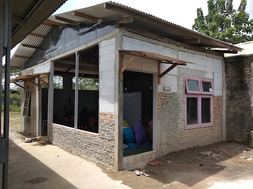
School nearby MIS Al Manar
Indonesia
School nearby MIS Al Manar
MIS Al Manar
Cibeuteung Udik Indonesia
contacts phone
:
+62
Latitude:
-6.47487
, Longitude:
106.68374
read more
nearest School
275 m
Ponpes Nurul Rahmat
Putat Nutug
School
read more
625 m
SDS BAITUNNISA
Kp. Curug Rt 02 Rw 05 Ds.Putatnutug, Putat Nutug
School
read more
764 m
Komplek LDII Ciseeng
Karihkil
School
read more
901 m
MTS - MA Nurul Qur'an Ciseeng
Karihkil
School
read more
922 m
SMK TRISUKSES
Karihkil
School
read more
947 m
Pondok Pesantren Nurul Qur'an Al - Islami
Al Furqon Bambu Kuning Sukasari, Gang Masjid, Karihkil
School
read more
1.03 km
SDN Putatnutug 02
Jalan Amd Kp Curug, Putat Nutug
School
read more
1.136 km
Fitrah Islamic World Academy
Jalan Haji Miing, Karihkil
School
read more
1.142 km
SD Negeri Ciseeng 1
Jalan H Usa No.271, Babakan
School
read more
1.16 km
SMAS Al-Muklisin
JL. Haji Usa, Ciseeng, Sukabumi
School
read more
1.215 km
Madrasah Aliyah Swasta Al Mukhlisin
Karihkil
School
read more
1.327 km
Madrasah Ibtidaiyah Swasta Nurul Islamiyah
Kampung Nyalawati, RT. 01/RW. 04, Ciseeng, Desa Karihkil, Karihkil
School
read more
1.365 km
SDN Putatnutug 04
Putat Nutug
School
read more
1.455 km
SMK NURISBA
Jalan Amd Raya 39, Babakan
School
read more
1.584 km
Paud Ceria Yasmin
Babakan
School
read more
1.668 km
Ponpes. Darul Kholidin
Jalan Kampung Sasak No.68, Tegal
School
read more
1.68 km
SMP It Darul Kholidin Kemang
Jalan Kampung Sasak No.30, Tegal
School
read more
1.741 km
Paud Golden Kids
Cibeuteung Udik
School
read more
1.836 km
SD Islam Terpadu Dinamika
JL. Candraloka, RT. 009/08, Babakan, Babakan
School
read more
2.049 km
Istana Al-quran 6 Parung
Telaga Kahuripan Parung, Babakan
School
read more
2.095 km
smk joyorejo putat nutug.
Putat Nutug
School
read more
2.198 km
SDN BABAKAN 01
Babakan
School
read more
2.216 km
SDN Kamulyaan
Babakan
School
read more
2.42 km
Hudatul Falah
Jalan Putat Nutug, Putat Nutug
School
read more
2.57 km
AKSARA (AKADEMI SANDI NEGARA)
Jalan Haji Dai, Parung
School
read more
📑
all categories
Accounting
Administrative area level 1
Administrative area level 2
Airport
Amusement park
Aquarium
Art gallery
Atm
Bakery
Bank
Bar
Beauty salon
Bicycle store
Book store
Bowling alley
Bus station
Cafe
Campground
Car dealer
Car rental
Car repair
Car wash
Casino
Cemetery
Church
City hall
Clothing store
Colloquial area
Convenience store
Courthouse
Dentist
Department store
Doctor
Electrician
Electronics store
Embassy
Finance
Fire station
Florist
Food
Funeral home
Furniture store
Gas station
General contractor
Grocery or supermarket
Gym
Hair care
Hardware store
Health
Hindu Temple
Home goods store
Hospital
Insurance agency
Intersection
Jewelry store
Laundry
Lawyer
Library
Liquor store
Local government office
Locality
Locksmith
Lodging
Meal delivery
Meal takeaway
Mosque
Movie rental
Movie theater
Moving company
Museum
Natural feature
Neighborhood
Night club
Painter
Park
Parking
Pet store
Pharmacy
Physiotherapist
Place of worship
Plumber
Point of interest
Police
Political
Post office
Premise
Real estate agency
Restaurant
Roofing contractor
Route
Rv park, camping
School
Shoe store
Shopping mall
Spa
Stadium
Storage
Store
Subpremise
Supermarket
Synagogue
Taxi stand
Train station
Transit station
Travel agency
University
Veterinary care
Zoo
administrative area level 3
administrative area level 4
administrative area level 5
sublocality level 1
↑