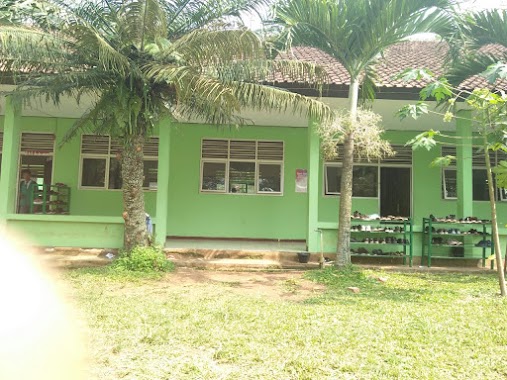
School nearby Al-Muttaqin
Indonesia
School nearby Al-Muttaqin
Al-Muttaqin
JL. Raya Cibanteng RT 01/05, No. 171, Sibanteng Indonesia
contacts phone
:
+62
Latitude:
-6.5556565
, Longitude:
106.6095931
read more
nearest School
264 m
Madrasah Diniyah Al Ghozali
Jalan Raya Cibanteng No.KM. 8, Sibanteng
School
read more
425 m
MTSN Model Babakansirna
Leuwibatu
School
read more
586 m
SMK Farmasi
JL. Cibanteng, Cibanteng, Ciampea
School
read more
679 m
Mi Ma Citeras
Jalan Citeres Raya, Leuwibatu
School
read more
700 m
SMK Kesehatan Prof. Dr. Moestopo
Leuwisadeng
School
read more
718 m
SMPN 1 Leuwisadeng
Leuwisadeng
School
read more
723 m
sdn leuwibatu 03
Unnamed Road, Leuwibatu
School
read more
807 m
PON-PES Daarul Rahman
Kp. Jambu, Sibanteng, Leuwisadeng, Sibanteng
School
read more
808 m
Madrasah Aliyah Negeri Babakan Sirna
Jalan Raya Jambu, Sibanteng
School
read more
816 m
Pondok Pesantren Darurrahman Leuwiliang
Sibanteng
School
read more
841 m
Asrama Majlis Guru Pontren Daarul Rahman
Kampung jambu, Sibanteng
School
read more
850 m
SDN Ciaruteun Ilir 05
Sibanteng
School
read more
903 m
SMK Widya Bhakti Utama
Jalan Bandar Kerut, Leuwisadeng
School
read more
931 m
Majlis Ta'lim Ishlahul Ummah Bogor
Leuwisadeng
School
read more
946 m
Ponpes.miftahul Ulla
Pilar Tenda, Sibanteng
School
read more
990 m
MAN LEUWILIANG
Jalan Raya Leuwiliang - Leuwisadeng KM. 04, Sibanteng
School
read more
1.045 km
SPS Anggrek
Sibanteng
School
read more
1.055 km
Pondok Pesantren Muallimin
Keracak Leuwiliang Jalan Raya Leuwiliang No.160, Sibanteng
School
read more
1.071 km
PAUD
Sibanteng
School
read more
1.08 km
smkdwiperdana
Jalan Raya Leuwiliang, Sibanteng
School
read more
1.08 km
Contrast Education Center
Sibanteng
School
read more
1.27 km
Yayasan ARROZAQIYAH
Jalan Resmi Galih, Cibeber I
School
read more
1.286 km
Pesantren Mathla'ul Anwar
Cibeber I
School
read more
1.329 km
Madrasah Ibtidaiyah Swasta (MIS) Mathlaul Anwar
Cibeber I
School
read more
1.382 km
Kelompok Bermain Al Faridziyah
Jalan Raya Sadeng No.37, Sadeng
School
read more
📑
all categories
Accounting
Administrative area level 1
Administrative area level 2
Airport
Amusement park
Aquarium
Art gallery
Atm
Bakery
Bank
Bar
Beauty salon
Bicycle store
Book store
Bowling alley
Bus station
Cafe
Campground
Car dealer
Car rental
Car repair
Car wash
Casino
Cemetery
Church
City hall
Clothing store
Colloquial area
Convenience store
Courthouse
Dentist
Department store
Doctor
Electrician
Electronics store
Embassy
Finance
Fire station
Florist
Food
Funeral home
Furniture store
Gas station
General contractor
Grocery or supermarket
Gym
Hair care
Hardware store
Health
Hindu Temple
Home goods store
Hospital
Insurance agency
Intersection
Jewelry store
Laundry
Lawyer
Library
Liquor store
Local government office
Locality
Locksmith
Lodging
Meal delivery
Meal takeaway
Mosque
Movie rental
Movie theater
Moving company
Museum
Natural feature
Neighborhood
Night club
Painter
Park
Parking
Pet store
Pharmacy
Physiotherapist
Place of worship
Plumber
Point of interest
Police
Political
Post office
Premise
Real estate agency
Restaurant
Roofing contractor
Route
Rv park, camping
School
Shoe store
Shopping mall
Spa
Stadium
Storage
Store
Subpremise
Supermarket
Synagogue
Taxi stand
Train station
Transit station
Travel agency
University
Veterinary care
Zoo
administrative area level 3
administrative area level 4
administrative area level 5
sublocality level 1
↑