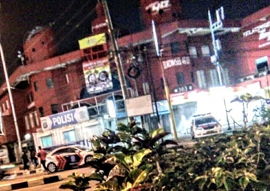
Police nearby Pos Polisi
Coronavirus disease (COVID-19) Situation
confirmed cases
6829221
deaths
162063
Indonesia
Police nearby Pos Polisi
Pos Polisi
21, Jalan Raya Sawangan, 16435, Kota Depok, Jawa Barat, ID Indonesia
contacts phone
:
+62
Latitude:
-6.3949801
, Longitude:
106.7847182
larger map & directions
read more
nearest Police
1.514 km
Polsek Pancoran Mas
Jalan Raya Sawangan, Mampang
Police
read more
2.626 km
Pos Pengamanan Polres
Depok Plaza Depok Pancoran Mas Depok Jawa Barat, Depok Jaya
Police
read more
2.638 km
Polsubsektor Grogol Depok
Jalan Pendowo, Grogol
Police
read more
2.885 km
Pospol
Gang Rembulan 3 No.18, Pancoran MAS
Police
read more
3.054 km
Balai Kemitraan Polisi & Masyarakat
Jalan Raya Pasir Putih, Pasir Putih
Police
read more
3.183 km
Pos Polisi
Jalan Salak, Depok Jaya
Police
read more
3.847 km
Polsek Beji
Jalan Haji Asmawi No.23, Beji
Police
read more
4.16 km
Pos Jaga
Jalan Komanmuin No.3, Limo
Police
read more
4.295 km
pns
Jalan Margonda Raya, Depok
Police
read more
4.304 km
Logistik Polresta Depok
Jalan Margonda Raya No.14, Depok
Police
read more
4.304 km
Polres Depok
Jalan Margonda Raya No.14, Depok
Police
read more
4.306 km
Kandang Team Tindak JAGUAR
Jalan Margonda Raya No.14, Depok
Police
read more
4.401 km
Pos Polisi Beji Timur
Jalan Ridwan Rais No.41, Beji Timur, Beji, Beji Timur
Police
read more
4.488 km
Polsek Sawangan
Jalan Ciputat Parung, Bojongsari Lama
Police
read more
4.519 km
Pos Polisi Permata Depok Regency
Jalan Permata Depok Regency, Ratu Jaya, Cipayung, Ratu Jaya
Police
read more
4.53 km
Pos Polisi Ramanda
Jalan Margonda Raya, Kemiri Muka
Police
read more
5.536 km
Polsek Jagakarsa
Jalan Timbul No.39, RT.6/RW.5, Cipedak, Jagakarsa, RT.6/RW.5, Cipedak
Police
read more
5.994 km
Polsek Limo
Jalan Cinere Raya No.136, Cinere
Police
read more
9.251 km
Polsek Pondok Labu
Jalan Margasatwa Blok Hj. Saleh No.10, RT.15/RW.1, Pondok Labu
Police
read more
10.21 km
Pospol Ragunan
Jl. Kebon Binatang, RT.10/RW.7, Ragunan
Police
read more
10.647 km
SATPAS Polres Bogor
Tengah, Cibinong, Tengah
Police
read more
11.251 km
POS POLISI CIBINONG
Ruko Pasar Cibinong, Jalan Raya Mayor Oking Jaya Atmaja, Cirimekar
Police
read more
12.677 km
Pos Polisi Bilabong
Jalan Raya Perum Bilabong, Cimanggis
Police
read more
14.09 km
Pospol Bintaro Jaya
Jalan Bintaro Taman Barat No.18, RT.15/RW.8, Bintaro
Police
read more
18.422 km
Pospol BSD
Jl. Komplek Bsd-serpong, Lengkong Wetan
Police
read more
📑
all categories
Accounting
Administrative area level 1
Administrative area level 2
Airport
Amusement park
Aquarium
Art gallery
Atm
Bakery
Bank
Bar
Beauty salon
Bicycle store
Book store
Bowling alley
Bus station
Cafe
Campground
Car dealer
Car rental
Car repair
Car wash
Casino
Cemetery
Church
City hall
Clothing store
Colloquial area
Convenience store
Courthouse
Dentist
Department store
Doctor
Electrician
Electronics store
Embassy
Finance
Fire station
Florist
Food
Funeral home
Furniture store
Gas station
General contractor
Grocery or supermarket
Gym
Hair care
Hardware store
Health
Hindu Temple
Home goods store
Hospital
Insurance agency
Intersection
Jewelry store
Laundry
Lawyer
Library
Liquor store
Local government office
Locality
Locksmith
Lodging
Meal delivery
Meal takeaway
Mosque
Movie rental
Movie theater
Moving company
Museum
Natural feature
Neighborhood
Night club
Painter
Park
Parking
Pet store
Pharmacy
Physiotherapist
Place of worship
Plumber
Point of interest
Police
Political
Post office
Premise
Real estate agency
Restaurant
Roofing contractor
Route
Rv park, camping
School
Shoe store
Shopping mall
Spa
Stadium
Storage
Store
Subpremise
Supermarket
Synagogue
Taxi stand
Train station
Transit station
Travel agency
University
Veterinary care
Zoo
administrative area level 3
administrative area level 4
administrative area level 5
sublocality level 1
↑