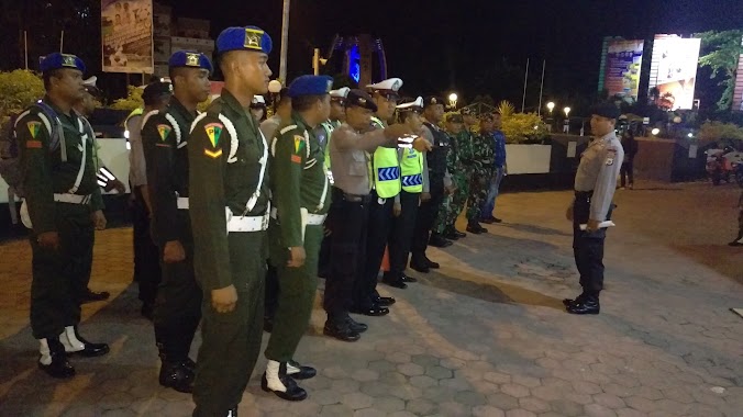
Police nearby Kantor Sat. Pol PP Kota Ambon
Coronavirus disease (COVID-19) Situation
confirmed cases
6829221
deaths
162063
Indonesia
Police nearby Kantor Sat. Pol PP Kota Ambon
Kantor Sat. Pol PP Kota Ambon
Uritetu, Sirimau, Kota Ambon, Maluku, Indonesia
contacts phone
:
+62
Latitude:
-3.6941352
, Longitude:
128.1859033
larger map & directions
read more
nearest Police
398 m
Polda Maluku
Jalan Rijali, Kel Batu Meja
Police
read more
502 m
Polsek (Pos Kota)
Uritetu
Police
read more
514 m
Kantor Polisi Sektor Sirimau Ambon
Jalan Sultan Hairun, Uritetu
Police
read more
730 m
Pos Lantas Mutiara (BatuMerah)
Kel Amantelu
Police
read more
887 m
KPPP Ambon
Jalan AM Sangaji, Kel Honipopu
Police
read more
1.43 km
Satpas Polres Ambon
Jl. No. 10, Doktor Latumenten, Kel Waihaong
Police
read more
1.432 km
aspol prigi 5
Doktor Latumenten, Kel Waihaong
Police
read more
1.453 km
Police Sector Sirimau
Jalan Sultan Hairun, Kel Silale
Police
read more
1.496 km
Direktorat Reserse Kriminal Khusus Polda Maluku
Kel Urimesing
Police
read more
2 km
Pos Polisi Lalu Lintas
Pandan Kasturi
Police
read more
2.36 km
Pos Brimob Tantui Bawah
Pandan Kasturi
Police
read more
2.432 km
Asrama Brimob Tantui Atas
Pandan Kasturi
Police
read more
2.439 km
Kesatuan Brimob
Jalan Jenderal Sudirman, Tantui
Police
read more
2.644 km
Birosarpras Polda Maluku
Jalan Sultan Hasanudin, Pandan Kasturi
Police
read more
2.726 km
POLDA TANTUI
Pandan Kasturi
Police
read more
2.734 km
Lapangan Parade Polisi Daerah Maluku
Hative Kecil
Police
read more
2.781 km
Lapangan Polda Maluku
Hative Kecil
Police
read more
3.748 km
Kantor Polisi Polsek Teluk Ambon
Jalan Ir. Muhammad Putuhena, Teluk Ambon, Rumah Tiga
Police
read more
4.989 km
Pomal Lantamal IX
Jalan Kapten Piere Tendean, Halong
Police
read more
7.916 km
Polsek Pulauw
Jl. Pulauw, Hative Besar
Police
read more
📑
all categories
Accounting
Administrative area level 1
Administrative area level 2
Airport
Amusement park
Aquarium
Art gallery
Atm
Bakery
Bank
Bar
Beauty salon
Bicycle store
Book store
Bowling alley
Bus station
Cafe
Campground
Car dealer
Car rental
Car repair
Car wash
Casino
Cemetery
Church
City hall
Clothing store
Colloquial area
Convenience store
Courthouse
Dentist
Department store
Doctor
Electrician
Electronics store
Embassy
Finance
Fire station
Florist
Food
Funeral home
Furniture store
Gas station
General contractor
Grocery or supermarket
Gym
Hair care
Hardware store
Health
Hindu Temple
Home goods store
Hospital
Insurance agency
Intersection
Jewelry store
Laundry
Lawyer
Library
Liquor store
Local government office
Locality
Locksmith
Lodging
Meal delivery
Meal takeaway
Mosque
Movie rental
Movie theater
Moving company
Museum
Natural feature
Neighborhood
Night club
Painter
Park
Parking
Pet store
Pharmacy
Physiotherapist
Place of worship
Plumber
Point of interest
Police
Political
Post office
Premise
Real estate agency
Restaurant
Roofing contractor
Route
Rv park, camping
School
Shoe store
Shopping mall
Spa
Stadium
Storage
Store
Subpremise
Supermarket
Synagogue
Taxi stand
Train station
Transit station
Travel agency
University
Veterinary care
Zoo
administrative area level 3
administrative area level 4
administrative area level 5
sublocality level 1
↑