Place of worship nearby Musholla Alfitroh
Indonesia
Place of worship nearby Musholla Alfitroh
Musholla Alfitroh
Jalan Assalam 3, 17610, Bekasi, Jawa Barat, ID Indonesia
contacts phone
:
+62
Latitude:
-6.1923566
, Longitude:
107.0149117
larger map & directions
read more
nearest Place of worship
357 m
Mushola Darul Mukhlisin
Jalan Darul Mukhlisin No.6, Bahagia
Place of worship
read more
366 m
Mushola Nurul Falah
Jalan Ujung Harapan, Bahagia
Place of worship
read more
429 m
Musholla Baitul Muttaqien
Jalan Baitul Muttaqien I, Bahagia
Place of worship
read more
690 m
Masjid Jami Nurul Huda
Jalan Swadaya No.4, RT.3/RW.15, Perwira
Place of worship
read more
716 m
Masjid Al-Muhajirin
Jalan Melati 3, Perwira
Place of worship
read more
720 m
Mushola NurRohmatullah
Jalan Reformasi 1 No.6, Perwira
Place of worship
read more
732 m
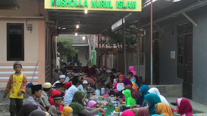
Musholla Nurul Islam
Kavling Barokah, Bahagia
Place of worship
read more
742 m
Musholah Ar-Rahman
Jalan Sejahtera, Bahagia
Place of worship
read more
794 m
Musholah Al Muchtar
Jalan Pulau Bidadari 2 No.123, Bahagia
Place of worship
read more
921 m
Masjid Baiturrohim
No., Jl Mujahidin No.3, Perwira
Place of worship
read more
925 m
Victory volleyball club taman elok bekasi
Bahagia
Place of worship
read more
929 m
Mushola Al Hidayah Blok H
Central Kaliabang
Place of worship
read more
933 m
Mushola Al Barkah
Jalan Baitul Muttaqien I No.39, Perwira
Place of worship
read more
1.036 km
Mushola DARUL FALAH
Perumahan Alinda kencana Blok O Rt.008/021, Kaliabang Tengah, Bekasi Utara, Kaliabang Tengah
Place of worship
read more
1.038 km
MASJID JAMI' ALHIRJAH
Jalan Perumahan Villa Indah Permai Blok I31 No.23, Teluk Pucung
Place of worship
read more
1.042 km
Green Swadaya
Gang Bahagia, Kaliabang Tengah
Place of worship
read more
1.057 km
Mushola Baitul Jannah
Jalan Perum Villa Indah Permai Blok H18 No.3, Teluk Pucung
Place of worship
read more
1.111 km
Masjid Attaqwa
Teluk Pucung
Place of worship
read more
1.117 km
Mushola Nurul Iman
Kavling Meranti, Kaliabang Tengah
Place of worship
read more
1.147 km
Taman Pendidikan Al-Qur'an (TPQ) Trijaya
Jalan Rinjani III Blok P1 No.12, Kaliabang Tengah
Place of worship
read more
1.156 km
MT Durorul Fattah
Jl. Flamboyan Indah 1A Blok No., Jalan Flamboyan Indah 1A Blok F6 No.24, Kaliabang Tengah
Place of worship
read more
1.184 km
Taman Pendidikan Al-Qura'an (TPQ) Baiturrahman
Jalan Kalimantan No.1, RT.1/RW.35, Teluk Pucung
Place of worship
read more
1.806 km
Taman Pendidikan Al-Qur'an (TPQ) Darul Ulum
Jalan Kali Abang Tengah No.37, RT.5/RW.4, Kaliabang Tengah
Place of worship
read more
1.895 km
Majelis Ta'lim Daarul Mu'minin
JL Komplek Vila Ind, RT.03 RW.03, Perwira, Bekasi Utara, Perwira
Place of worship
read more
2.37 km
mushola at ta'awun
Jalan Kavling, Pejuang
Place of worship
read more
📑
all categories
Accounting
Administrative area level 1
Administrative area level 2
Airport
Amusement park
Aquarium
Art gallery
Atm
Bakery
Bank
Bar
Beauty salon
Bicycle store
Book store
Bowling alley
Bus station
Cafe
Campground
Car dealer
Car rental
Car repair
Car wash
Casino
Cemetery
Church
City hall
Clothing store
Colloquial area
Convenience store
Courthouse
Dentist
Department store
Doctor
Electrician
Electronics store
Embassy
Finance
Fire station
Florist
Food
Funeral home
Furniture store
Gas station
General contractor
Grocery or supermarket
Gym
Hair care
Hardware store
Health
Hindu Temple
Home goods store
Hospital
Insurance agency
Intersection
Jewelry store
Laundry
Lawyer
Library
Liquor store
Local government office
Locality
Locksmith
Lodging
Meal delivery
Meal takeaway
Mosque
Movie rental
Movie theater
Moving company
Museum
Natural feature
Neighborhood
Night club
Painter
Park
Parking
Pet store
Pharmacy
Physiotherapist
Place of worship
Plumber
Point of interest
Police
Political
Post office
Premise
Real estate agency
Restaurant
Roofing contractor
Route
Rv park, camping
School
Shoe store
Shopping mall
Spa
Stadium
Storage
Store
Subpremise
Supermarket
Synagogue
Taxi stand
Train station
Transit station
Travel agency
University
Veterinary care
Zoo
administrative area level 3
administrative area level 4
administrative area level 5
sublocality level 1
↑