Night club nearby BASECAMP GOJEK SWADARMA UTARA
Coronavirus disease (COVID-19) Situation
confirmed cases
6829221
deaths
162063
Indonesia
Night club nearby BASECAMP GOJEK SWADARMA UTARA
BASECAMP GOJEK SWADARMA UTARA
Jalan Swadharma Utara, 12250, Kota Jakarta Selatan, Daerah Khusus Ibukota Jakarta, ID Indonesia
contacts phone
:
+62
Latitude:
-6.2290021
, Longitude:
106.7604335
larger map & directions
read more
nearest Night club
489 m
Padang Hijau Rembulan
Jalan Komplek Kostrad No.24, RT.2/RW.6, Petukangan Utara
Night club
read more
834 m
PERDANA TIGA
RT.5/RW.3, Ulujami
Night club
read more
835 m
Pos Ceri
Jalan H. Kuno RW.12, Grogol Selatan
Night club
read more
845 m
Base Camp KBGB Taman Alfa Joglo
(j1) RT.10/RW.7, Petukangan Utara
Night club
read more
904 m
Mediterania Club House Permata
RT.9/RW.3, Srengseng
Night club
read more
948 m
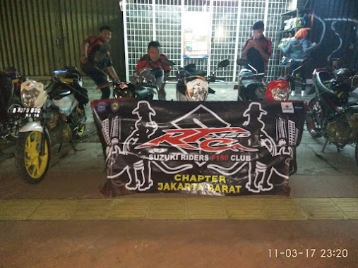
SRFC Chapter Jakarta BARAT
Jalan Taman Alfa Indah Blok F. 1 No.27, RT.10/RW.7, Joglo
Night club
read more
990 m
MIRACLES
Jalan Ulujami Raya RT.8/RW.4, Ulujami
Night club
read more
1.09 km
Brother Baitul
Jalan Cipulir Permai Blok T No.14, RT.15/RW.9, Cipulir
Night club
read more
1.119 km
Anggana's Kingdom
Jalan Pahlawan RT.6/RW.7, Sukabumi Selatan
Night club
read more
1.146 km
Go-jek Pengumben
Jalan Raya Pos Pengumben RT.12/RW.3, Srengseng
Night club
read more
1.208 km
Firman
Hotel Indonesia, Jalan M.H. Thamrin No.1, RT.6/RW.5, Cipulir
Night club
read more
1.26 km
penyewaan Alat Outdoor
RT.5/RW.3, Petukangan Utara
Night club
read more
1.296 km
Kopdar MMC Jakarta Barat
Ruko Mediterania, Jalan Meruya Ilir RT.7/RW.3, Srengseng
Night club
read more
1.349 km
Kopdaran SRFC JAK-BAR
Jalan Joglo Raya RT.12/RW.3, Joglo
Night club
read more
1.391 km
Pojok Sender
Jalan Al Mubarok 1 No.2-13, Cipulir
Night club
read more
1.424 km
Warkop Sucang Gaming
Alfalah 1 RT.11/RW.3, Grogol Selatan
Night club
read more
1.519 km
Kp. Baru Jl. BB No.55 Sukabumi Selatan Kebon Jeruk Jakarta Barat 11560
Jalan BB No.55, RT.7/RW.4, Sukabumi Selatan
Night club
read more
1.639 km
MIRACLES
Jalan Ulujami Raya RT.13, Ulujami
Night club
read more
1.718 km
BIF
Jalan Cidodol Raya No.34B, RT.5/RW.11, Grogol Selatan
Night club
read more
1.82 km
Kosin Bubay Explorer
no 12270, Jalan Inpres No.26, RT.7/RW.3, 2, Petukangan Selatan
Night club
read more
1.983 km
Saung Gope
Jalan Puloindah III No.17, RT.7/RW.5, Petukangan Selatan
Night club
read more
1.993 km
Maday Sinatra Project
Jalan Puloindah IV No.11, RT.7/RW.5, Petukangan Selatan
Night club
read more
2.121 km
bengkel bento
Jalan Delman Raya No.8, RT.12/RW.11, Kebayoran Lama Utara
Night club
read more
2.175 km
Rumah Acil Vape
Jalan Peninggaran Barat III No.109, RT.8/RW.11, Kebayoran Lama Utara
Night club
read more
2.223 km
Pohon Payung
Jalan Ciledug Raya (H. Botet) No.33, Kreo Selatan
Night club
read more
📑
all categories
Accounting
Administrative area level 1
Administrative area level 2
Airport
Amusement park
Aquarium
Art gallery
Atm
Bakery
Bank
Bar
Beauty salon
Bicycle store
Book store
Bowling alley
Bus station
Cafe
Campground
Car dealer
Car rental
Car repair
Car wash
Casino
Cemetery
Church
City hall
Clothing store
Colloquial area
Convenience store
Courthouse
Dentist
Department store
Doctor
Electrician
Electronics store
Embassy
Finance
Fire station
Florist
Food
Funeral home
Furniture store
Gas station
General contractor
Grocery or supermarket
Gym
Hair care
Hardware store
Health
Hindu Temple
Home goods store
Hospital
Insurance agency
Intersection
Jewelry store
Laundry
Lawyer
Library
Liquor store
Local government office
Locality
Locksmith
Lodging
Meal delivery
Meal takeaway
Mosque
Movie rental
Movie theater
Moving company
Museum
Natural feature
Neighborhood
Night club
Painter
Park
Parking
Pet store
Pharmacy
Physiotherapist
Place of worship
Plumber
Point of interest
Police
Political
Post office
Premise
Real estate agency
Restaurant
Roofing contractor
Route
Rv park, camping
School
Shoe store
Shopping mall
Spa
Stadium
Storage
Store
Subpremise
Supermarket
Synagogue
Taxi stand
Train station
Transit station
Travel agency
University
Veterinary care
Zoo
administrative area level 3
administrative area level 4
administrative area level 5
sublocality level 1
↑