Natural feature nearby Situ Gadog
Indonesia
Natural feature nearby Situ Gadog
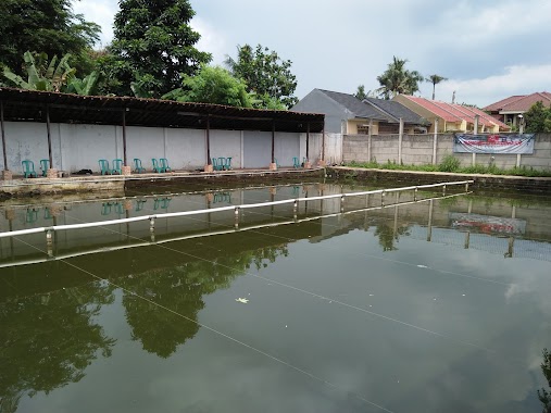
Situ Gadog
Indonesien Indonesien
contacts phone
:
+62
Latitude:
-6.3731864
, Longitude:
106.8684509
read more
nearest Natural feature
Situ Gadog
Indonesia
Natural feature
read more
64 m
Setu Gadog
Indonesia
Natural feature
read more
2.023 km
Situ Cicadas
Indonesia
Natural feature
read more
2.023 km
Situ Cicadas
Indonesien
Natural feature
read more
2.428 km
Situ Rawakalong
Indonesia
Natural feature
read more
2.452 km
Situ Rawa Kalong
Indonesia
Natural feature
read more
2.455 km
Situ Rawakirun
Indonesia
Natural feature
read more
2.455 km
Situ Rawakirun
Indonesien
Natural feature
read more
2.537 km
Rawa Gede
Indonesien
Natural feature
read more
2.537 km
Rawa Gede
Indonesia
Natural feature
read more
2.82 km
Rawa Indah
Indonesia
Natural feature
read more
2.82 km
Rawa Indah
Indonesien
Natural feature
read more
2.916 km
Setu Pedongkelan
Indonesia
Natural feature
read more
2.992 km
Danau rawa indah
Jalan Jambore Blok E No.3, Cibubur, Ciracas, RT.6/RW.11, Cibubur
Natural feature
read more
3.07 km
Situ Pedongkelan
Kampung Areman, Jalan Setu Pedongkelan, RT.12/RW.9, Pekayon
Natural feature
read more
3.252 km
Rawa Bola
Indonesia
Natural feature
read more
3.252 km
Rawa Bola
Indonesien
Natural feature
read more
3.258 km
Situ Baru
Indonesien
Natural feature
read more
3.258 km
Situ Baru
Indonesia
Natural feature
read more
3.282 km
Rawa Jemblung
Indonesien
Natural feature
read more
3.282 km
Rawa Jemblung
Indonesia
Natural feature
read more
3.466 km
Camp Prapatan
RT 008/ 09 No. 61, Jalan Akses Ui, Tugu
Natural feature
read more
4.311 km
Situ Klapadua
Indonesia
Natural feature
read more
4.311 km
Situ Klapadua
Indonesien
Natural feature
read more
4.867 km
Sunter
Indonesien
Natural feature
read more
📑
all categories
Accounting
Administrative area level 1
Administrative area level 2
Airport
Amusement park
Aquarium
Art gallery
Atm
Bakery
Bank
Bar
Beauty salon
Bicycle store
Book store
Bowling alley
Bus station
Cafe
Campground
Car dealer
Car rental
Car repair
Car wash
Casino
Cemetery
Church
City hall
Clothing store
Colloquial area
Convenience store
Courthouse
Dentist
Department store
Doctor
Electrician
Electronics store
Embassy
Finance
Fire station
Florist
Food
Funeral home
Furniture store
Gas station
General contractor
Grocery or supermarket
Gym
Hair care
Hardware store
Health
Hindu Temple
Home goods store
Hospital
Insurance agency
Intersection
Jewelry store
Laundry
Lawyer
Library
Liquor store
Local government office
Locality
Locksmith
Lodging
Meal delivery
Meal takeaway
Mosque
Movie rental
Movie theater
Moving company
Museum
Natural feature
Neighborhood
Night club
Painter
Park
Parking
Pet store
Pharmacy
Physiotherapist
Place of worship
Plumber
Point of interest
Police
Political
Post office
Premise
Real estate agency
Restaurant
Roofing contractor
Route
Rv park, camping
School
Shoe store
Shopping mall
Spa
Stadium
Storage
Store
Subpremise
Supermarket
Synagogue
Taxi stand
Train station
Transit station
Travel agency
University
Veterinary care
Zoo
administrative area level 3
administrative area level 4
administrative area level 5
sublocality level 1
↑