Movie theater nearby Bioskop Dian Tua
Indonesia
Movie theater nearby Bioskop Dian Tua
Bioskop Dian Tua
5, Jalan Soekarno Hatta, 76136, Kota Balikpapan, Kalimantan Timur, ID Indonesia
contacts phone
:
+62
Latitude:
-1.2320006
, Longitude:
116.8400184
larger map & directions
read more
nearest Movie theater
653 m
CPIP Antasari Bisokop
Jl. Jend. A Yani
Movie theater
read more
1.397 km
bioskop sinta lama
Jalan Sidodadi, Margo Mulyo
Movie theater
read more
2.723 km
Perumahan Mandastana Blok N No 1
Batu Ampar
Movie theater
read more
3.846 km
Cinemaxx Living Plaza Balikpapan
2nd Floor Living Plaza Balikpapan Lantai 3, Jalan MT. Haryono RT 54, Kelurahan Gunung Bahagia, Kecamatan, Balikpapan Selatan
Movie theater
read more
5.016 km
line story photo & videography
Gunung Bahagia
Movie theater
read more
5.033 km
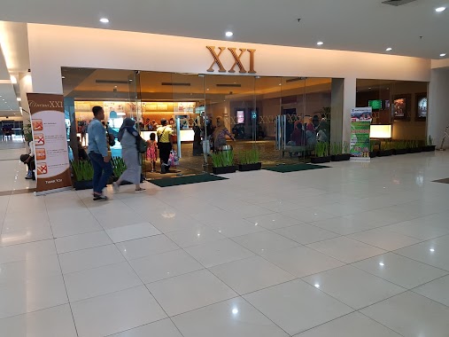
Pentacity XXI & The Premiere
Gang Damai
Movie theater
read more
5.041 km
XXI Pentacity BSB
Pentacity Mall, Jalan Jenderal Sudirman No.47, Gunung Bahagia
Movie theater
read more
5.059 km
Pentacity XXI,The Premiere
Pentacity Mall Lantai 2, Jalan Jenderal Sudirman No.47, Gunung Bahagia
Movie theater
read more
5.093 km
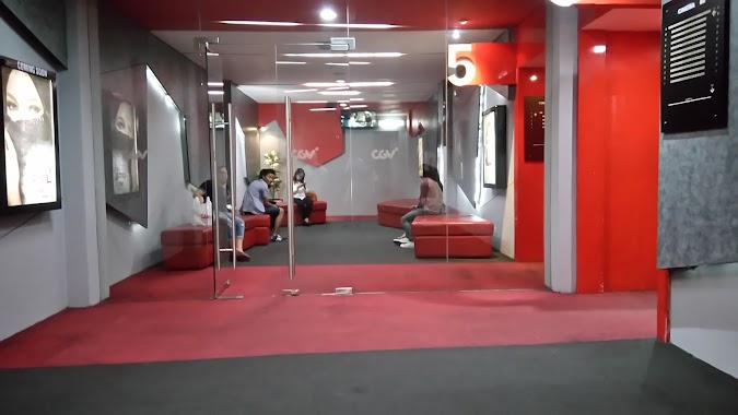
CGV Plaza Balikpapan
Balikpapan Plaza, Lt. 1, Jl. Jend. Sudirman No. 1, Klandasan Ilir, Balikpapan Kota, Klandasan Ilir
Movie theater
read more
5.099 km
Cinema XXI E-walk
E-Walk Lantai 1, Jl. Jenderal Sudirman No. 47, Gunung Bahagia, Balikpapan, Gunung Bahagia
Movie theater
read more
5.101 km
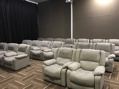
The Premiere
E, Jalan Wangsa Delima 12 No.9
Movie theater
read more
5.135 km
Cinema 21, Studio XXI
Pasar Baru Square Lantai 2, Jl. Jend. Sudirman, Klandasan Ilir, Balikpapan Kota, Klandasan Ilir
Movie theater
read more
5.435 km
Pantai Kumala Bit
Unnamed Road, Gunung Bahagia
Movie theater
read more
7.257 km
Airport Cinema
Jalan Marsma R. Iswahyudi, Sepinggan
Movie theater
read more
9.435 km
Warung Arema
Unnamed Road, Sepinggan
Movie theater
read more
📑
all categories
Accounting
Administrative area level 1
Administrative area level 2
Airport
Amusement park
Aquarium
Art gallery
Atm
Bakery
Bank
Bar
Beauty salon
Bicycle store
Book store
Bowling alley
Bus station
Cafe
Campground
Car dealer
Car rental
Car repair
Car wash
Casino
Cemetery
Church
City hall
Clothing store
Colloquial area
Convenience store
Courthouse
Dentist
Department store
Doctor
Electrician
Electronics store
Embassy
Finance
Fire station
Florist
Food
Funeral home
Furniture store
Gas station
General contractor
Grocery or supermarket
Gym
Hair care
Hardware store
Health
Hindu Temple
Home goods store
Hospital
Insurance agency
Intersection
Jewelry store
Laundry
Lawyer
Library
Liquor store
Local government office
Locality
Locksmith
Lodging
Meal delivery
Meal takeaway
Mosque
Movie rental
Movie theater
Moving company
Museum
Natural feature
Neighborhood
Night club
Painter
Park
Parking
Pet store
Pharmacy
Physiotherapist
Place of worship
Plumber
Point of interest
Police
Political
Post office
Premise
Real estate agency
Restaurant
Roofing contractor
Route
Rv park, camping
School
Shoe store
Shopping mall
Spa
Stadium
Storage
Store
Subpremise
Supermarket
Synagogue
Taxi stand
Train station
Transit station
Travel agency
University
Veterinary care
Zoo
administrative area level 3
administrative area level 4
administrative area level 5
sublocality level 1
↑