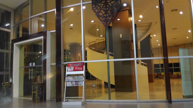
Lodging nearby Tmg.Tilung XXII
Coronavirus disease (COVID-19) Situation
confirmed cases
6829221
deaths
162063
Indonesia
Lodging nearby Tmg.Tilung XXII
Tmg.Tilung XXII
Jalan Tmg. Tilung XXI, Menteng Indonesia
contacts phone
:
+62
Latitude:
-2.2259288
, Longitude:
113.9055097
read more
nearest Lodging
107 m
Kost Sugie
Menteng
Lodging
read more
273 m
Guest House Tilung
Jalan Tamanggung Tilung XVIII, Menteng
Lodging
read more
313 m
Persatuan Hotel & Restoran Indonesia
Menteng
Lodging
read more
399 m
Hotel Fovere Palangkaraya by Conary
Jalan G. Obos, Menteng
Lodging
read more
410 m
Menteng 21 Kost
Menteng
Lodging
read more
439 m
Kost Pondok Coklat, No. 90
Menteng
Lodging
read more
622 m
Hotel Aman
Menteng
Lodging
read more
623 m
WISMA PISCES
Jalan Gemini 2, Menteng
Lodging
read more
630 m
Kos-kos An
Jalan Aries, Menteng
Lodging
read more
654 m
Hotel Luwansa Palangkaraya
Jl. G.Obos No. 102, Menteng
Lodging
read more
655 m
Hotel Luwansa
Jalan G. Obos No.102, Menteng
Lodging
read more
753 m
Mess 24
Jalan Temanggung Tilung No.24, Menteng
Lodging
read more
770 m
Home Stay TASYA
Menteng
Lodging
read more
866 m
Kost Giovani II
Jalan P. Samudera, Menteng
Lodging
read more
866 m
Wisma Puri Kania
Jalan P. Samudera No.1, Menteng
Lodging
read more
925 m
Kost Rahayu Menteng 13
Jalan Menteng XIII, Menteng
Lodging
read more
925 m
Kost Pahari
Jalan Raden Saleh I, Menteng
Lodging
read more
931 m
Wisma Aries
Menteng
Lodging
read more
939 m
Kantor Perwakilan PT. HKLA
VI. Nomor 52,, Jalan Aries, Menteng
Lodging
read more
1.01 km
Airy Eco UPR Jekan Raya Galaxy 9A Palangkaraya
Jalan Galaksi Raya No.9A, Menteng
Lodging
read more
1.014 km
Tunjung Nyaho Guesthouse
Menteng
Lodging
read more
1.023 km
Wisma Lamiang
Jalan Raden Saleh III, Menteng
Lodging
read more
1.026 km
MAHARANI 1
Jalan Kariraman, Menteng
Lodging
read more
1.095 km
Kos Anggun Cerry
Menteng
Lodging
read more
1.144 km
Wisma T House
Jalan Tmg. Tilung IX, Menteng
Lodging
read more
📑
all categories
Accounting
Administrative area level 1
Administrative area level 2
Airport
Amusement park
Aquarium
Art gallery
Atm
Bakery
Bank
Bar
Beauty salon
Bicycle store
Book store
Bowling alley
Bus station
Cafe
Campground
Car dealer
Car rental
Car repair
Car wash
Casino
Cemetery
Church
City hall
Clothing store
Colloquial area
Convenience store
Courthouse
Dentist
Department store
Doctor
Electrician
Electronics store
Embassy
Finance
Fire station
Florist
Food
Funeral home
Furniture store
Gas station
General contractor
Grocery or supermarket
Gym
Hair care
Hardware store
Health
Hindu Temple
Home goods store
Hospital
Insurance agency
Intersection
Jewelry store
Laundry
Lawyer
Library
Liquor store
Local government office
Locality
Locksmith
Lodging
Meal delivery
Meal takeaway
Mosque
Movie rental
Movie theater
Moving company
Museum
Natural feature
Neighborhood
Night club
Painter
Park
Parking
Pet store
Pharmacy
Physiotherapist
Place of worship
Plumber
Point of interest
Police
Political
Post office
Premise
Real estate agency
Restaurant
Roofing contractor
Route
Rv park, camping
School
Shoe store
Shopping mall
Spa
Stadium
Storage
Store
Subpremise
Supermarket
Synagogue
Taxi stand
Train station
Transit station
Travel agency
University
Veterinary care
Zoo
administrative area level 3
administrative area level 4
administrative area level 5
sublocality level 1
↑