Lodging nearby Kost Putri Azzahra
Indonesia
Lodging nearby Kost Putri Azzahra
Kost Putri Azzahra
Menteng Indonesia
contacts phone
:
+62
Latitude:
-2.2139413
, Longitude:
113.906884
read more
nearest Lodging
410 m
Hotel Ando Raya
Jalan Yos Sudarso, Palangka
Lodging
read more
512 m
Kost Giovani II
Jalan P. Samudera, Menteng
Lodging
read more
512 m
Wisma Puri Kania
Jalan P. Samudera No.1, Menteng
Lodging
read more
611 m
Wisma Arjuna
Jalan Sangga Buana 1, Palangka
Lodging
read more
643 m
Wisma Liontine
Jalan Sangga Buana I No. 32, Kec. Jekan Raya, Palangka
Lodging
read more
724 m
MAHARANI 1
Jalan Kariraman, Menteng
Lodging
read more
813 m
Kantor Perwakilan PT. HKLA
VI. Nomor 52,, Jalan Aries, Menteng
Lodging
read more
817 m
El House - Guest House
Jalan Semeru, Palangka
Lodging
read more
824 m
hotel Amaris
Menteng
Lodging
read more
835 m
Wisma Pangrango 72
Jalan Pangrango No.72, Palangka
Lodging
read more
865 m
Kos-kos An
Jalan Aries, Menteng
Lodging
read more
916 m
Kandang Rusa Dan Kuda
Unnamed Road, Palangka
Lodging
read more
918 m
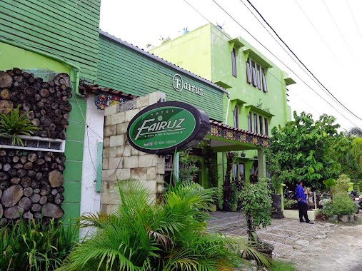
Hotel Fairuz Palangka Raya
Jl. Demang Leman 9, Menteng
Lodging
read more
926 m
WISMA PISCES
Jalan Gemini 2, Menteng
Lodging
read more
945 m
Kost Pondok Coklat, No. 90
Menteng
Lodging
read more
997 m
Sola Gracia Production
Menteng
Lodging
read more
1.013 km
Airy Eco UPR Jekan Raya Galaxy 9A Palangkaraya
Jalan Galaksi Raya No.9A, Menteng
Lodging
read more
1.018 km
Kost Pahari
Jalan Raden Saleh I, Menteng
Lodging
read more
1.035 km
Tunjung Nyaho Guesthouse
Menteng
Lodging
read more
1.118 km
Mess Rimbawan
Menteng
Lodging
read more
1.153 km
Wisma Aries
Menteng
Lodging
read more
1.223 km
Kompleks PANALA
Jalan Kinibalu No.I, Palangka
Lodging
read more
1.256 km
Wisma Lamiang
Jalan Raden Saleh III, Menteng
Lodging
read more
1.263 km
Hotel NEO Palma - Palangkaraya
Jl. Tjilik Riwut Km. 1 No. 1, Bundaran Besar, Palangka
Lodging
read more
1.365 km
Wisma D'Kos
Palangka
Lodging
read more
📑
all categories
Accounting
Administrative area level 1
Administrative area level 2
Airport
Amusement park
Aquarium
Art gallery
Atm
Bakery
Bank
Bar
Beauty salon
Bicycle store
Book store
Bowling alley
Bus station
Cafe
Campground
Car dealer
Car rental
Car repair
Car wash
Casino
Cemetery
Church
City hall
Clothing store
Colloquial area
Convenience store
Courthouse
Dentist
Department store
Doctor
Electrician
Electronics store
Embassy
Finance
Fire station
Florist
Food
Funeral home
Furniture store
Gas station
General contractor
Grocery or supermarket
Gym
Hair care
Hardware store
Health
Hindu Temple
Home goods store
Hospital
Insurance agency
Intersection
Jewelry store
Laundry
Lawyer
Library
Liquor store
Local government office
Locality
Locksmith
Lodging
Meal delivery
Meal takeaway
Mosque
Movie rental
Movie theater
Moving company
Museum
Natural feature
Neighborhood
Night club
Painter
Park
Parking
Pet store
Pharmacy
Physiotherapist
Place of worship
Plumber
Point of interest
Police
Political
Post office
Premise
Real estate agency
Restaurant
Roofing contractor
Route
Rv park, camping
School
Shoe store
Shopping mall
Spa
Stadium
Storage
Store
Subpremise
Supermarket
Synagogue
Taxi stand
Train station
Transit station
Travel agency
University
Veterinary care
Zoo
administrative area level 3
administrative area level 4
administrative area level 5
sublocality level 1
↑