Lodging nearby Bungalow Yongky
Indonesia
Lodging nearby Bungalow Yongky
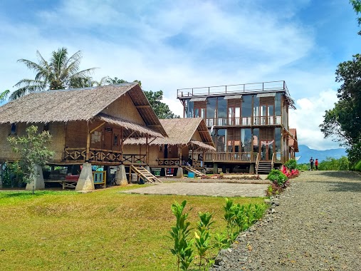
Bungalow Yongky
Jalan Tapos Lbc, Cileungsi Indonesia
contacts phone
:
+62
Latitude:
-6.7160204
, Longitude:
106.8826904
read more
nearest Lodging
6 m
villa bobojong
kp. tapos rt 01, 01, Cileungsi
Lodging
read more
289 m
HASTI VILLA
Jalan Tapos Lbc No.3, Cileungsi
Lodging
read more
311 m
Villa Gunung Alam
Cileungsi
Lodging
read more
311 m
Villa Lembah Alam
Cileungsi
Lodging
read more
431 m
D Alya Villa
Cileungsi
Lodging
read more
466 m
VILLA BATURADEN
Cileungsi
Lodging
read more
526 m
Adibah Resort
Pancawati
Lodging
read more
699 m
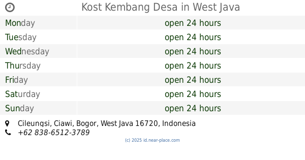
Kost Kembang Desa
Cileungsi
Lodging
read more
731 m
Vila Pelangi
Jalan Tapos Lbc No.23, Citapen
Lodging
read more
859 m
SANTA MONICA HOTEL & CONVENTION Pancawati Bogor
Pancawati
Lodging
read more
963 m
The Coazther Caringin Bogor
Pancawati
Lodging
read more
1.286 km
Bale Hills
Kampung Parung Jambu, Cibedug
Lodging
read more
1.295 km
SANTA MONICA RESORT BOGOR (Outbound, Paintball, Rafting)
Pancawati
Lodging
read more
1.353 km
Indekos Mami Gepeng
Cileungsi
Lodging
read more
1.387 km
SANTA MONICA RESORT
Jl Caringin - Cileungsi, Desa Pancawati, Caringin, Bogor, West Java, Pancawati
Lodging
read more
1.515 km
Lembur Pancawati Hotel
Jalan Caringin-Cilengsi, Pancawati
Lodging
read more
1.559 km
VILLA MURAH DI PUNCAK BOGOR
Kp, Jalan Legok Nyenang RT.02/RW.11, Pancawati
Lodging
read more
1.587 km
Santa Monica Resort 2
Jl. Caringin - Cileungsi, Desa Pancawati, Kec. Caringin, Bogor, West Java, Pancawati
Lodging
read more
1.597 km
VILLA MURAH DI PANCAWATI
Jalan Caringin-Cilengsi No.20, Pancawati
Lodging
read more
1.617 km
Villa Tapos
Jalan Tapos Lbc, Ciderum
Lodging
read more
1.783 km
Nursery Area Camp Hulu Cai
Cibedug
Lodging
read more
1.844 km
Camp Hulu Cai
Jl. Veteran III Cibedug, Ciawi, Cibedug
Lodging
read more
1.951 km
Apartemen Tapos Indah
Unnamed Road, Cijeruk
Lodging
read more
2.083 km
Every Day Hotel Tapos
Cileungsi
Lodging
read more
2.478 km
Ajengan Suja Bojong
Jalan Karakal
Lodging
read more
📑
all categories
Accounting
Administrative area level 1
Administrative area level 2
Airport
Amusement park
Aquarium
Art gallery
Atm
Bakery
Bank
Bar
Beauty salon
Bicycle store
Book store
Bowling alley
Bus station
Cafe
Campground
Car dealer
Car rental
Car repair
Car wash
Casino
Cemetery
Church
City hall
Clothing store
Colloquial area
Convenience store
Courthouse
Dentist
Department store
Doctor
Electrician
Electronics store
Embassy
Finance
Fire station
Florist
Food
Funeral home
Furniture store
Gas station
General contractor
Grocery or supermarket
Gym
Hair care
Hardware store
Health
Hindu Temple
Home goods store
Hospital
Insurance agency
Intersection
Jewelry store
Laundry
Lawyer
Library
Liquor store
Local government office
Locality
Locksmith
Lodging
Meal delivery
Meal takeaway
Mosque
Movie rental
Movie theater
Moving company
Museum
Natural feature
Neighborhood
Night club
Painter
Park
Parking
Pet store
Pharmacy
Physiotherapist
Place of worship
Plumber
Point of interest
Police
Political
Post office
Premise
Real estate agency
Restaurant
Roofing contractor
Route
Rv park, camping
School
Shoe store
Shopping mall
Spa
Stadium
Storage
Store
Subpremise
Supermarket
Synagogue
Taxi stand
Train station
Transit station
Travel agency
University
Veterinary care
Zoo
administrative area level 3
administrative area level 4
administrative area level 5
sublocality level 1
↑