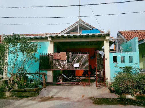
Local government office nearby RUMDIS TNI AL Pasirangin Pamen
Indonesia
Local government office nearby RUMDIS TNI AL Pasirangin Pamen
RUMDIS TNI AL Pasirangin Pamen
Pasir Angin, Cileungsi, Bogor, West Java 16820, Indonesia
contacts phone
:
+62
Latitude:
-6.3796108
, Longitude:
106.9831091
larger map & directions
read more
nearest Local government office
490 m
Komplek Rumdis TNI AL Pasirangin
Pasir Angin
Local government office
read more
1.118 km
Cluster Melati, Metland Cileungsi
Blok DB, Boulevard Metland Cileungsi, Cipenjo
Local government office
read more
1.138 km
Marketing Office Metland Cileungsi
Jl. Boulevard Metland Cileungsi, Cipenjo, Cileungsi, Cipenjo
Local government office
read more
1.146 km
Notaris Tri Wibowo SH, M.Kn.
metland cileungsi, jl. antara blok DC.1/21, Cipenjo
Local government office
read more
1.19 km
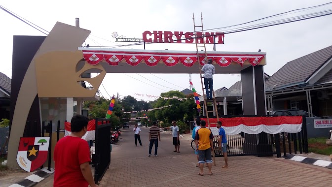
Cluster Chrysant, Metland Cileungsi
Boulevard Metland Cileungsi, Cipenjo
Local government office
read more
1.303 km
Metland Taman Cileungsi Bundaran 2
Jalan Metland Cileungsi No.8, Cipenjo
Local government office
read more
1.312 km
Metland Cileungsi Blok Ac 7 / 19
Jalan Metland Cileungsi No.8, Cipenjo
Local government office
read more
1.49 km
Metland Cileungsi Cluster Mawar
Metland Cileungsi, Cipenjo
Local government office
read more
1.536 km
GAS Blok R
Bekasi, Taman Rahayu
Local government office
read more
1.684 km
Perumahan Griya Limus Asri
Pasir Angin
Local government office
read more
1.717 km
Metland Cileungsi Cluster Bougenville
Cipenjo, Cileungsi, Cipenjo
Local government office
read more
1.732 km
Clauster Mawar Metland Cileungsi DK 10 NO 7
Jalan Mandor Senan, Cipenjo
Local government office
read more
1.769 km
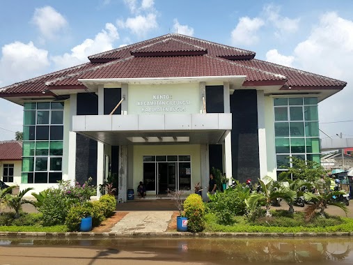
KECAMATAN CILEUNGSI
Jalan Gloxinia, Cileungsi
Local government office
read more
1.793 km
Kantor Kecamatan Cileungsi
Cileungsi
Local government office
read more
1.805 km
Griya Alam Sentosa Blok. Y
Pasir Angin
Local government office
read more
1.918 km
AnaHunter
Cipenjo
Local government office
read more
1.923 km
Cluster Montreal/Toronto
Limus Nunggal
Local government office
read more
1.981 km
Perum Taman Rahayu Regency
Ciketing Udik
Local government office
read more
1.983 km
Pangkalan Ojek GAS
Jalan Raya Narogong No.48, Limus Nunggal
Local government office
read more
2.022 km
Parks Rahayu Regency 2
Jl. Jambu Bol, Taman Rahayu Regency 2, RT.10/RW.07, Taman Rahayu, Setu, Taman Rahayu
Local government office
read more
2.072 km
BPJS KESEHATAN Cab Cileungsi
Jalan Metland No.8, Cileungsi
Local government office
read more
2.09 km
Cluster Pulo(Cipenjo City)
Cipenjo
Local government office
read more
2.134 km
Cluster Calgary
Jalan Pesona Calgary, Limus Nunggal
Local government office
read more
2.209 km
GRABBIKE GRUBBUK
Ciketing Udik
Local government office
read more
2.307 km
Pos Keamanan Ruko
Limus Nunggal
Local government office
read more
📑
all categories
Accounting
Administrative area level 1
Administrative area level 2
Airport
Amusement park
Aquarium
Art gallery
Atm
Bakery
Bank
Bar
Beauty salon
Bicycle store
Book store
Bowling alley
Bus station
Cafe
Campground
Car dealer
Car rental
Car repair
Car wash
Casino
Cemetery
Church
City hall
Clothing store
Colloquial area
Convenience store
Courthouse
Dentist
Department store
Doctor
Electrician
Electronics store
Embassy
Finance
Fire station
Florist
Food
Funeral home
Furniture store
Gas station
General contractor
Grocery or supermarket
Gym
Hair care
Hardware store
Health
Hindu Temple
Home goods store
Hospital
Insurance agency
Intersection
Jewelry store
Laundry
Lawyer
Library
Liquor store
Local government office
Locality
Locksmith
Lodging
Meal delivery
Meal takeaway
Mosque
Movie rental
Movie theater
Moving company
Museum
Natural feature
Neighborhood
Night club
Painter
Park
Parking
Pet store
Pharmacy
Physiotherapist
Place of worship
Plumber
Point of interest
Police
Political
Post office
Premise
Real estate agency
Restaurant
Roofing contractor
Route
Rv park, camping
School
Shoe store
Shopping mall
Spa
Stadium
Storage
Store
Subpremise
Supermarket
Synagogue
Taxi stand
Train station
Transit station
Travel agency
University
Veterinary care
Zoo
administrative area level 3
administrative area level 4
administrative area level 5
sublocality level 1
↑