Local government office nearby Psmp Handayani
Indonesia
Local government office nearby Psmp Handayani
Psmp Handayani
Jalan P.P.A No.1, RT.06/RW.01, Bambu Apus, RT.8/RW.1, Bambu Apus Indonesia
contacts phone
:
+62
Latitude:
-6.3176912
, Longitude:
106.896165
read more
nearest Local government office
162 m
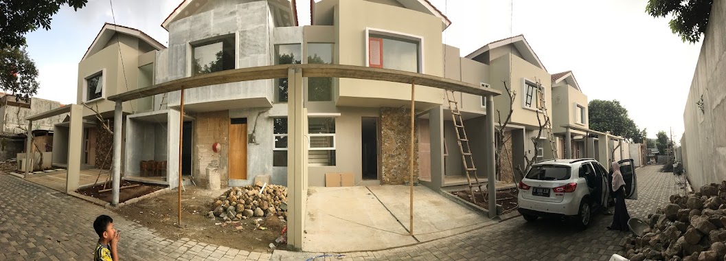
Cluster Modern Bamboo Residence
Jalan P.P.A No.1, RT.8/RW.1, Bambu Apus
Local government office
read more
422 m
Suku Dinas Lingkungan Hidup Kec. Cipayung
Jalan Bina Marga RT.2/RW.4, Ceger
Local government office
read more
423 m
Panti Sosial Asuhan Anak Putra Utama 4
Jalan Bina Marga Blok Kecapi No.15, RT.2/RW.4, Ceger
Local government office
read more
451 m
Perumahan Rosella Residence Bambu Apus
Jalan Damai Raya, RT.9/RW.1, RT.9/RW.1, Bambu Apus
Local government office
read more
629 m
ADS Jasa
Jalan Bambu Apus Raya No.38, RT.7/RW.3, Bambu Apus
Local government office
read more
630 m
Komplek PWI Cipayung
Jalan Mandor Hasan No.43, RT.7/RW.6, Cipayung
Local government office
read more
750 m
Kantor RW.05 Bambu Apus
Jalan Bambu Wulung No.54, RT.8/RW.5, Bambu Apus
Local government office
read more
826 m
Green Royal Residence
Jalan Bambu Hitam RT.4/RW.1, Bambu Apus
Local government office
read more
835 m
Pos 1 Palem Kartika
Jalan Bambu Apus No.Raya, RT.7/RW.3, Bambu Apus
Local government office
read more
861 m
KANTOR KELURAHAN CIPAYUNG BARU
Jalan Bambu Hitam No.39, RT.4/RW.7, Bambu Apus
Local government office
read more
901 m
BantuKoding Office
Jalan Bambu Wulung 1 No.20, RT.10/RW.5, Setu
Local government office
read more
1.207 km
Green View Marapu Tengki
RT.4/RW.3, Cipayung
Local government office
read more
1.236 km
Ulfa Tasusane cribz
Jalan Bina Marga No.75, RT.3/RW.5, Cipayung
Local government office
read more
1.386 km
Perumahan Aries Setu
RT.7/RW.3, Setu
Local government office
read more
1.476 km
amanitama berkah sejati
Jalan Pengantin Ali RT.7/RW.6, Ciracas
Local government office
read more
1.483 km
Kavling Taman Aries
Jalan Puskesmas RT.7/RW.3, Setu
Local government office
read more
1.638 km
Cluster Griya Anggrek
Jalan Tani I RT.6/RW.4, Cilangkap
Local government office
read more
1.744 km
Green ViewnCipayung
RT.3/RW.2
Local government office
read more
1.749 km
Komplek Cilangkap Indah
Jalan Raya Cilangkap RT.7/RW.4, Cilangkap
Local government office
read more
1.765 km
Eks Kantor Kelurahan Cipayung
Prapatan Kencur RT.9/RW.3, Cipayung
Local government office
read more
1.786 km
Serenity Townhouse Pengantin Ali Ciracas
Jalan Pengantin Ali No.12, RT.6/RW.6, Ciracas
Local government office
read more
1.848 km
Kantor Pengelola Gedung Sasono TMII
Ceger, Cipayung, Ceger
Local government office
read more
1.86 km
Gardenia Residence
Jalan Tanah Merdeka No.8, RT.6/RW.6, Rambutan
Local government office
read more
1.88 km
Housing Panorama Nature
Jalan As-syafi'iyah No.9, Cilangkap
Local government office
read more
1.947 km
Sekertariat Dewan Kelurahan Cilangkap
Jalan Asyafi'iyah RT.3/RW.3, Cilangkap
Local government office
read more
📑
all categories
Accounting
Administrative area level 1
Administrative area level 2
Airport
Amusement park
Aquarium
Art gallery
Atm
Bakery
Bank
Bar
Beauty salon
Bicycle store
Book store
Bowling alley
Bus station
Cafe
Campground
Car dealer
Car rental
Car repair
Car wash
Casino
Cemetery
Church
City hall
Clothing store
Colloquial area
Convenience store
Courthouse
Dentist
Department store
Doctor
Electrician
Electronics store
Embassy
Finance
Fire station
Florist
Food
Funeral home
Furniture store
Gas station
General contractor
Grocery or supermarket
Gym
Hair care
Hardware store
Health
Hindu Temple
Home goods store
Hospital
Insurance agency
Intersection
Jewelry store
Laundry
Lawyer
Library
Liquor store
Local government office
Locality
Locksmith
Lodging
Meal delivery
Meal takeaway
Mosque
Movie rental
Movie theater
Moving company
Museum
Natural feature
Neighborhood
Night club
Painter
Park
Parking
Pet store
Pharmacy
Physiotherapist
Place of worship
Plumber
Point of interest
Police
Political
Post office
Premise
Real estate agency
Restaurant
Roofing contractor
Route
Rv park, camping
School
Shoe store
Shopping mall
Spa
Stadium
Storage
Store
Subpremise
Supermarket
Synagogue
Taxi stand
Train station
Transit station
Travel agency
University
Veterinary care
Zoo
administrative area level 3
administrative area level 4
administrative area level 5
sublocality level 1
↑