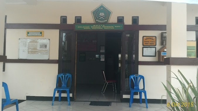
Local government office nearby PERUMAHAN LEGOK INDAH
Coronavirus disease (COVID-19) Situation
confirmed cases
6829221
deaths
162063
Indonesia
Local government office nearby PERUMAHAN LEGOK INDAH
PERUMAHAN LEGOK INDAH
Kadu Sirung Indonesia
contacts phone
:
+62
Latitude:
-6.3003088
, Longitude:
106.5926214
read more
nearest Local government office
548 m
KUA .KECAMATAN LEGOK
Parung Panjang No.36 Kec. legok, Jalan Raya PLP Curug, Babakan
Local government office
read more
559 m
Kantor Kelurahan Bojong Nangka
Babakan, Legok, Babakan
Local government office
read more
876 m
Cluster Pesona Legok
Babakan
Local government office
read more
1.027 km
Workshop Dinas Kebersihan & Pertamanan (DKP) Kab.Tangerang
Jalan Raya PLP Curug, Babakan
Local government office
read more
1.029 km
Workshop DKP Pemkab Tangerang
Jalan Raya PLP Curug, Babakan
Local government office
read more
1.288 km
Perumahan Legok Permai Blok B
Jalan Jayaningrat No.23, Legok
Local government office
read more
1.314 km
Cluster Heliconia
Unnamed Road, Legok
Local government office
read more
1.344 km
Perumahan Legok Permai Blok H
Legok
Local government office
read more
1.494 km
Perumahan Legok Permai Blok i
Cluster Idesia, Legok
Local government office
read more
1.641 km
Perumahan Legok Permai Blok C
Legok
Local government office
read more
1.728 km
Perumahan Legok Permai Blok G
Legok
Local government office
read more
2.036 km
Aster 2 Caringin
Jalan Raya Parung Panjang No.81, Caringin
Local government office
read more
2.06 km
Balai Besar Kalibrasi Fasilitas Penerbangan
Pos 4, Jalan Raya STPI Curug, Serdang Wetan
Local government office
read more
2.083 km
Kantor Desa Rancagong
Jl. Kadaung No. 01, Rancagong, Legok, Rancagong
Local government office
read more
2.153 km
perum cluster mitiara legok
Jalan Raya Parung Panjang No.81, Caringin
Local government office
read more
2.183 km
Kator Desa Caringin
Jalan Raya Parung Panjang No.01, Caringin
Local government office
read more
2.263 km
Toyalisi LX150
Kadu Sirung
Local government office
read more
2.418 km
Kantor Lurah Palasari
Jalan Raya Palasari, Kemuning
Local government office
read more
2.503 km
Cluster Heliconia Legok Permai
Kemuning
Local government office
read more
2.623 km
Kantor Kepala Desa Palasari
Jalan Raya Palasari No.26, Palasari
Local government office
read more
2.812 km
Kantor Kepala Desa Cicalengka
Cicalengka
Local government office
read more
2.919 km
Pt Kukdong
Cijantra
Local government office
read more
3.296 km
Village Office Kadusirung
Kadu Sirung
Local government office
read more
3.302 km
Kantor Kepala Desa Kadusirung
Jalan lingkar selatan no 40 desa kadusirung kecamatan pagedangan, Kadu Sirung
Local government office
read more
4.634 km
Perumhan Dasana Indah
blok SO20/3, Jalan Perum Dasana Indah, Bojong Nangka
Local government office
read more
📑
all categories
Accounting
Administrative area level 1
Administrative area level 2
Airport
Amusement park
Aquarium
Art gallery
Atm
Bakery
Bank
Bar
Beauty salon
Bicycle store
Book store
Bowling alley
Bus station
Cafe
Campground
Car dealer
Car rental
Car repair
Car wash
Casino
Cemetery
Church
City hall
Clothing store
Colloquial area
Convenience store
Courthouse
Dentist
Department store
Doctor
Electrician
Electronics store
Embassy
Finance
Fire station
Florist
Food
Funeral home
Furniture store
Gas station
General contractor
Grocery or supermarket
Gym
Hair care
Hardware store
Health
Hindu Temple
Home goods store
Hospital
Insurance agency
Intersection
Jewelry store
Laundry
Lawyer
Library
Liquor store
Local government office
Locality
Locksmith
Lodging
Meal delivery
Meal takeaway
Mosque
Movie rental
Movie theater
Moving company
Museum
Natural feature
Neighborhood
Night club
Painter
Park
Parking
Pet store
Pharmacy
Physiotherapist
Place of worship
Plumber
Point of interest
Police
Political
Post office
Premise
Real estate agency
Restaurant
Roofing contractor
Route
Rv park, camping
School
Shoe store
Shopping mall
Spa
Stadium
Storage
Store
Subpremise
Supermarket
Synagogue
Taxi stand
Train station
Transit station
Travel agency
University
Veterinary care
Zoo
administrative area level 3
administrative area level 4
administrative area level 5
sublocality level 1
↑