Local government office nearby Dinas Perhubungan
Indonesia
Local government office nearby Dinas Perhubungan
Dinas Perhubungan
9, Jalan Mohammad Kahfi II, 12630, Kota Jakarta Selatan, Daerah Khusus Ibukota Jakarta, ID Indonesia
contacts phone
:
+62 21 7870744
Latitude:
-6.3565569
, Longitude:
106.809269
larger map & directions
read more
nearest Local government office
342 m
HMF Residence
Jalan M. Kahfi 2 No.25, RT.4/RW.3, Cipedak
Local government office
read more
522 m
TELKOM KRA
Jalan Pemuda No.2, RT.8/RW.9, Srengseng Sawah
Local government office
read more
555 m
Housing Complex Plot DKI
RT.07 / RW.06, Cipedak, Jagakarsa, RT.7/RW.6, Cipedak
Local government office
read more
933 m
Cluster Realita
Jalan Batu Belah RT.1/RW.4, Cipedak
Local government office
read more
963 m
Rockwell Mansion
Jalan Mohammad Kahfi 1 RT.3/RW.2, Cipedak
Local government office
read more
990 m
Sosonopan Law Firm
Jalan Manggar II No.10 D, RT.6/RW.2, Cipedak
Local government office
read more
1000 m
Cluster Amanah Musthofa 5
Jalan Haji Mustofa No.v, Kukusan
Local government office
read more
1.037 km
Polsubsektor Ciganjur
Jalan Mohammad Kahfi 1 Blok Resmi No.57, Cipedak
Local government office
read more
1.037 km
Sekretariat DeNouvoErs
Jl. Juragan Sinda, Kukusan Teknik UI, RT.12/RW.9, Kukusan
Local government office
read more
1.125 km
Kahfi Residence
Jalan Mohammad Kahfi 1 RT.6/RW.4, Cipedak
Local government office
read more
1.215 km
Pondok Kukusan Permai - Waterpark Ceria
Jalan K.H.M. Usman No. 110, Kukusan, Beji, Kukusan
Local government office
read more
1.483 km
Kantor Kelurahan Cipedak
Jl. Pinding No. 1, Ciganjur, RT.1/RW.1, Cipedak
Local government office
read more
1.509 km
Fajar
Jalan Mohammad Kahfi 1 No.3, RT.11/RW.6, Ciganjur
Local government office
read more
1.593 km
Koramil Jagakarsa
Jalan Aselih Raya No.144, RT.8/RW.1, Cipedak
Local government office
read more
1.641 km
Kukusan District Office
Jl. Palakali Raya No. 67, Kukusan, Beji, Kukusan
Local government office
read more
1.671 km
kopaja transjakarta
jl h.wahid RT/RW 08/04 jagakarsa, RT.8/RW.4, Ciganjur
Local government office
read more
1.76 km
Cluster Damai 39
Jalan Perikanan II No.16, RT.7/RW.8, Srengseng Sawah
Local government office
read more
1.79 km
Choyang
Jalan R. Sanim, Tanah Baru
Local government office
read more
1.983 km
KHAFI VIEW RESIDENCE
Jalan Kelinci No.22, RT.7/RW.6, Ciganjur
Local government office
read more
2.132 km
Pegaidian
Jalan Srengseng Sawah RT.7/RW.6, Srengseng Sawah
Local government office
read more
2.179 km
Griya Insani 2
Jalan Tanah Cimo No.16, Tanah Baru
Local government office
read more
2.341 km
Komplek Swaden
Gang Sawo, Tanah Baru
Local government office
read more
2.383 km
Administrasi Jurusan
Kukusan
Local government office
read more
2.427 km
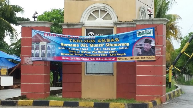
villa mutiara cinere
Jalan Gang Haji Umar No.77, Krukut
Local government office
read more
2.577 km
Villa Mutiara Cinere
Jalan Boulevard Vila Mutiara Cinere No.32, Limo
Local government office
read more
📑
all categories
Accounting
Administrative area level 1
Administrative area level 2
Airport
Amusement park
Aquarium
Art gallery
Atm
Bakery
Bank
Bar
Beauty salon
Bicycle store
Book store
Bowling alley
Bus station
Cafe
Campground
Car dealer
Car rental
Car repair
Car wash
Casino
Cemetery
Church
City hall
Clothing store
Colloquial area
Convenience store
Courthouse
Dentist
Department store
Doctor
Electrician
Electronics store
Embassy
Finance
Fire station
Florist
Food
Funeral home
Furniture store
Gas station
General contractor
Grocery or supermarket
Gym
Hair care
Hardware store
Health
Hindu Temple
Home goods store
Hospital
Insurance agency
Intersection
Jewelry store
Laundry
Lawyer
Library
Liquor store
Local government office
Locality
Locksmith
Lodging
Meal delivery
Meal takeaway
Mosque
Movie rental
Movie theater
Moving company
Museum
Natural feature
Neighborhood
Night club
Painter
Park
Parking
Pet store
Pharmacy
Physiotherapist
Place of worship
Plumber
Point of interest
Police
Political
Post office
Premise
Real estate agency
Restaurant
Roofing contractor
Route
Rv park, camping
School
Shoe store
Shopping mall
Spa
Stadium
Storage
Store
Subpremise
Supermarket
Synagogue
Taxi stand
Train station
Transit station
Travel agency
University
Veterinary care
Zoo
administrative area level 3
administrative area level 4
administrative area level 5
sublocality level 1
↑