Gym nearby STADION UTAMA MANDIRI FC LULUT
Indonesia
Gym nearby STADION UTAMA MANDIRI FC LULUT
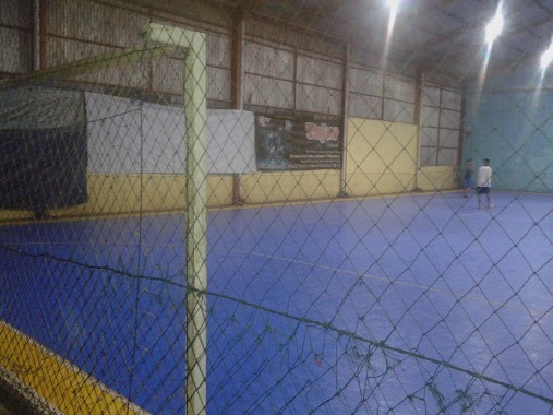
STADION UTAMA MANDIRI FC LULUT
Lulut, Klapanunggal, Bogor, West Java 16710, Indonesia
contacts phone
:
+62 895-0706-0877
Latitude:
-6.4881278
, Longitude:
106.9149917
larger map & directions
read more
nearest Gym
1.606 km
Chupper Gym Fit
Unnamed Road, Leuwikaret
Gym
read more
2.303 km
Chu Futsal & Fitness
Unnamed Road, Leuwikaret
Gym
read more
2.511 km
Ghost Futsal stadium
Nambo
Gym
read more
3.215 km
PAS Enterprise
Pasir Mukti
Gym
read more
3.37 km
Tajur Futsal Arena
No., Jalan Raya Tajur No.8, Tajur
Gym
read more
3.434 km
Sirkuit Taleus Tajur
Tajur
Gym
read more
3.534 km
UD Mellisa W
Pasar Citereup 1, Jalan Raya Mayor Oking Jaya Atmaja, Citeureup
Gym
read more
3.816 km
Star Gym
Jalan Raya Mayor Oking Jaya Atmaja No.16, Puspanegara
Gym
read more
3.834 km
Toko Susu Yoga
Jalan Raya Gunung Putri, Gunung Putri
Gym
read more
3.964 km
Lapangan Sepak Bola BMC
Komp. Binamarga Gunung Putri, Kampung Parung Jambu, Gunung Putri
Gym
read more
4.096 km
PB PESONA
Puspanegara
Gym
read more
4.148 km
ATRIBUT ONE GYM
Jalan Kecil Cagak No.12, Gunung Putri
Gym
read more
4.314 km
Virgo Gym
Jalan Raya Mayor Oking Jaya Atmaja, Puspanegara
Gym
read more
4.405 km
Ptm Hex
taman kenari jagorawi, Puspasari
Gym
read more
4.406 km
Tebing Lidah Jeger
Leuwikaret
Gym
read more
4.656 km
Lapangan Apache
Tlajung Udik
Gym
read more
4.849 km
Sanggar Senam Oky Studio
Tlajung Udik
Gym
read more
4.893 km
Lapangan Sepak Bola AREMTA
Tlajung Udik
Gym
read more
4.908 km
Lapangan Poci
Sukahati
Gym
read more
5.137 km
My Place To Work
kawasan wahyu sejahtera blok E1-2, kembang kuning, klapanunggal,, Kembang Kuning
Gym
read more
6.721 km
happy shop
Klapanunggal
Gym
read more
14.911 km
Taman Bermain Dan Olah Raga
Jalan Madrasah RT.3/RW.2, Pondok Ranggon
Gym
read more
16.38 km
YUFIMO studio senam Khusus Wanita
Jalan Tugu Raya, Tugu
Gym
read more
16.496 km
Selang Jogging Club
Babakan
Gym
read more
17.137 km
Lapangan Basket Sempur
Sempur
Gym
read more
📑
all categories
Accounting
Administrative area level 1
Administrative area level 2
Airport
Amusement park
Aquarium
Art gallery
Atm
Bakery
Bank
Bar
Beauty salon
Bicycle store
Book store
Bowling alley
Bus station
Cafe
Campground
Car dealer
Car rental
Car repair
Car wash
Casino
Cemetery
Church
City hall
Clothing store
Colloquial area
Convenience store
Courthouse
Dentist
Department store
Doctor
Electrician
Electronics store
Embassy
Finance
Fire station
Florist
Food
Funeral home
Furniture store
Gas station
General contractor
Grocery or supermarket
Gym
Hair care
Hardware store
Health
Hindu Temple
Home goods store
Hospital
Insurance agency
Intersection
Jewelry store
Laundry
Lawyer
Library
Liquor store
Local government office
Locality
Locksmith
Lodging
Meal delivery
Meal takeaway
Mosque
Movie rental
Movie theater
Moving company
Museum
Natural feature
Neighborhood
Night club
Painter
Park
Parking
Pet store
Pharmacy
Physiotherapist
Place of worship
Plumber
Point of interest
Police
Political
Post office
Premise
Real estate agency
Restaurant
Roofing contractor
Route
Rv park, camping
School
Shoe store
Shopping mall
Spa
Stadium
Storage
Store
Subpremise
Supermarket
Synagogue
Taxi stand
Train station
Transit station
Travel agency
University
Veterinary care
Zoo
administrative area level 3
administrative area level 4
administrative area level 5
sublocality level 1
↑