Gym nearby Sanggar Senam Tidi
Indonesia
Gym nearby Sanggar Senam Tidi
Sanggar Senam Tidi
Unnamed Road Indonesia
contacts phone
:
+62
Latitude:
-6.1151476
, Longitude:
106.5736369
read more
nearest Gym
560 m
AGA ARYABRATA
Pisangan Jaya
Gym
read more
564 m
Helga GYM
15520, Pisangan Jaya
Gym
read more
694 m
Badminton Center
Pisangan Jaya
Gym
read more
786 m
POS Taman Dewa ( TAWA )
Pisangan Jaya
Gym
read more
1.294 km
Saung Sehat
tamarin, Pisangan Jaya
Gym
read more
1.39 km
Viola gym
Ruko Sepatan Viola No. 09, Jalan Raya Mauk KM. 10, Sepatan
Gym
read more
1.628 km
Athallah Gym
Villa Permata Sarakan Blok C1/3,, Sarakan
Gym
read more
1.844 km
Mushola
Pondok Jaya
Gym
read more
3.021 km
Lapangan Bulutangkis Blok M
Jalan Sukadiri, Kayu Bongkok
Gym
read more
3.123 km
Rustam Terafi
Sangiang
Gym
read more
3.207 km
Sanggar senam Kaiza
Jalan Raya Mauk, Gintung
Gym
read more
3.378 km
Lapangan Bultang Cadas
Lebak Wangi
Gym
read more
3.391 km
fitness wanita
Lebak Wangi
Gym
read more
3.48 km
Al IKHLAS
Bunisari
Gym
read more
3.733 km
Lapangan Bola Kotabumi 2
Jalan Musi Barat No.20, Kutabumi
Gym
read more
4.161 km
Ling-Ling Fitness
Jalan Raya Kuta Bumi Blok B No.25, Kutabumi
Gym
read more
4.327 km
Argo Spa n Massage +
Rawa Boni, Pakuhaji
Gym
read more
4.473 km
sanggar senam chacha
No.15,, Jalan Jambu II No.4, Kuta Baru
Gym
read more
4.52 km
X-SPORT GYM
Jalan Irigasi No.77, Kedaung Barat
Gym
read more
4.915 km
Sanggar Najwa
Jalan Beo Raya, Kota Bumi, Kuta Baru
Gym
read more
4.925 km
GBA Stadium
Sindangsari
Gym
read more
4.976 km
Kincir Angin Windmoulen
Jalan Villa Tomang Baru Blok C1 No.13, Kuta Jaya
Gym
read more
5.097 km
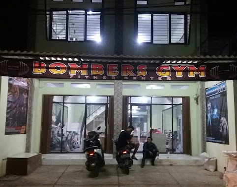
BOMBERS GYM
perumahan bumi asri jl mangga raya blok f1 no2, Kutabumi
Gym
read more
5.742 km
toko kue
blok D3&D4, Jalan Sukamantri No.5, Sukamantri
Gym
read more
6.16 km
Milli Futsal And Mil-One Cafe
Mekarsari
Gym
read more
📑
all categories
Accounting
Administrative area level 1
Administrative area level 2
Airport
Amusement park
Aquarium
Art gallery
Atm
Bakery
Bank
Bar
Beauty salon
Bicycle store
Book store
Bowling alley
Bus station
Cafe
Campground
Car dealer
Car rental
Car repair
Car wash
Casino
Cemetery
Church
City hall
Clothing store
Colloquial area
Convenience store
Courthouse
Dentist
Department store
Doctor
Electrician
Electronics store
Embassy
Finance
Fire station
Florist
Food
Funeral home
Furniture store
Gas station
General contractor
Grocery or supermarket
Gym
Hair care
Hardware store
Health
Hindu Temple
Home goods store
Hospital
Insurance agency
Intersection
Jewelry store
Laundry
Lawyer
Library
Liquor store
Local government office
Locality
Locksmith
Lodging
Meal delivery
Meal takeaway
Mosque
Movie rental
Movie theater
Moving company
Museum
Natural feature
Neighborhood
Night club
Painter
Park
Parking
Pet store
Pharmacy
Physiotherapist
Place of worship
Plumber
Point of interest
Police
Political
Post office
Premise
Real estate agency
Restaurant
Roofing contractor
Route
Rv park, camping
School
Shoe store
Shopping mall
Spa
Stadium
Storage
Store
Subpremise
Supermarket
Synagogue
Taxi stand
Train station
Transit station
Travel agency
University
Veterinary care
Zoo
administrative area level 3
administrative area level 4
administrative area level 5
sublocality level 1
↑