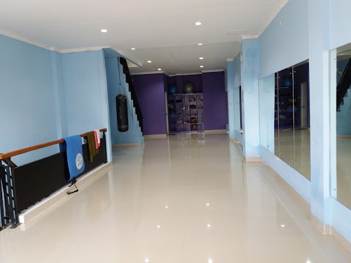
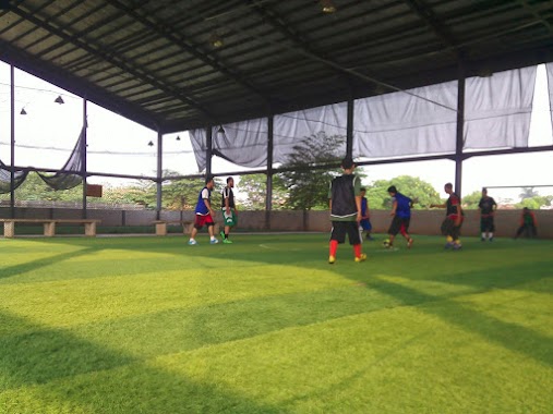
Gym nearby Lapangan Bulutangkis Ketapang
Indonesia
Gym nearby Lapangan Bulutangkis Ketapang
Lapangan Bulutangkis Ketapang
Gandoang Indonezja
contacts phone
:
+62
Latitude:
-6.4182392
, Longitude:
106.9970368
read more
nearest Gym
735 m
Lapangan Biotas
Gandoang
Gym
read more
890 m
Siaga Kemhan
Perumahan Griya Cileungsi 2 Blok D, Mampir
Gym
read more
1.173 km
Fitnes Cipicung
Mekarsari
Gym
read more
1.173 km
The Fitness House
Jalan Raya Jonggol - Cileungsi No.99, Mekarsari
Gym
read more
1.359 km
Rose Happy Club
Jalan Raya Jonggol - Cileungsi, Gandoang
Gym
read more
1.829 km
taman grand nusa indah
Mampir
Gym
read more
2.008 km
Oleander Park
Mampir
Gym
read more
2.456 km
PB. Smash Dewa
Setu Sari
Gym
read more
2.463 km
Lapangan Badminton PB. Smash Dewa
Setu Sari
Gym
read more
2.707 km
Duta Mekar Asri
Jl. Tulip raya, Duta, Mekar Asri
Gym
read more
2.735 km
Platinum Rent Car 2
Jalan Tulip, Cileungsi Kidul
Gym
read more
2.858 km
Fitness Centre Mas Ragiel Suprapto
Jalan Raya Jonggol - Cileungsi No.1, Cileungsi Kidul
Gym
read more
2.909 km
Danau Grand Canyon
Jalan Swadharma, Setu Sari
Gym
read more
2.929 km
Klub Berseri
Jalan Raya KH Umar Rawa Ilat, Dayeuh
Gym
read more
3.086 km
Lapangan Badminton GPC
Gandoang
Gym
read more
3.117 km
Lapangan Bola Alput
Jalan Dayeh, Dayeuh
Gym
read more
3.163 km
Sport Club PB Jaya Prima
Jalan Metland, Cipenjo
Gym
read more
3.203 km
Sanggar Funny
Ruko RPM V No. 27, Cileungsi
Gym
read more
3.269 km
Lapangan Futsal Nusantara Cileungsi Hijau
Cileungsi Kidul
Gym
read more
3.297 km
futsal metland
Cileungsi Kidul
Gym
read more
3.495 km
Rachman's Gyms
Unnamed Road, Setu Sari
Gym
read more
3.591 km
Pangkas Rambut Kang Roni
Jalan Raya Setu No.218, Cileungsi
Gym
read more
3.751 km
BENGKEL MUARA TAMBAL
Jalan Raya Narogong, Cileungsi
Gym
read more
4.356 km
Pangkas Rambut Cahaya Intan
Jalan Dayeh, Dayeuh
Gym
read more
4.568 km
Tamam Bermain PuriHarmoni9
Cikahuripan
Gym
read more
📑
all categories
Accounting
Administrative area level 1
Administrative area level 2
Airport
Amusement park
Aquarium
Art gallery
Atm
Bakery
Bank
Bar
Beauty salon
Bicycle store
Book store
Bowling alley
Bus station
Cafe
Campground
Car dealer
Car rental
Car repair
Car wash
Casino
Cemetery
Church
City hall
Clothing store
Colloquial area
Convenience store
Courthouse
Dentist
Department store
Doctor
Electrician
Electronics store
Embassy
Finance
Fire station
Florist
Food
Funeral home
Furniture store
Gas station
General contractor
Grocery or supermarket
Gym
Hair care
Hardware store
Health
Hindu Temple
Home goods store
Hospital
Insurance agency
Intersection
Jewelry store
Laundry
Lawyer
Library
Liquor store
Local government office
Locality
Locksmith
Lodging
Meal delivery
Meal takeaway
Mosque
Movie rental
Movie theater
Moving company
Museum
Natural feature
Neighborhood
Night club
Painter
Park
Parking
Pet store
Pharmacy
Physiotherapist
Place of worship
Plumber
Point of interest
Police
Political
Post office
Premise
Real estate agency
Restaurant
Roofing contractor
Route
Rv park, camping
School
Shoe store
Shopping mall
Spa
Stadium
Storage
Store
Subpremise
Supermarket
Synagogue
Taxi stand
Train station
Transit station
Travel agency
University
Veterinary care
Zoo
administrative area level 3
administrative area level 4
administrative area level 5
sublocality level 1
↑