Gym nearby Futsal Sumber Budi Kalapa
Indonesia
Gym nearby Futsal Sumber Budi Kalapa
Futsal Sumber Budi Kalapa
Pangkat, Jayanti, Tangerang, Banten 15610, Indonesia
contacts phone
:
+62
Latitude:
-6.2048325
, Longitude:
106.4023357
larger map & directions
read more
nearest Gym
1.63 km
Pusat Kebugaran Joe Emanuele
Cikande
Gym
read more
2.199 km
HERBALIFE KLUB ERSA
Gembong
Gym
read more
3.626 km
Rumah Herman/jaya Koper
Koper
Gym
read more
4.569 km
Herman betlink
Cangkudu
Gym
read more
4.832 km
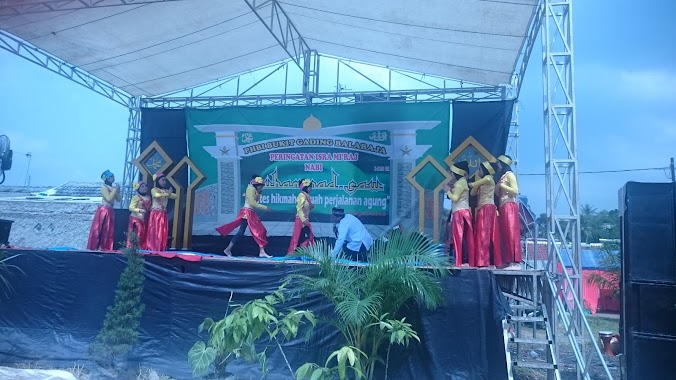
Sanggar Obic dan Tari Zahra
Perum Bukit Gading Balaraja, Blok J3 No. 52, Jl. Walet, Cangkudu, Balaraja, Cangkudu
Gym
read more
4.922 km
Rama Gym Fitnes Center &erobic
Unnamed Road, Selapajang
Gym
read more
4.931 km
RAMA GYM(fitnes Center&erobic)
bukit gading cisoka blok b2 no29, Selapajang
Gym
read more
4.938 km
Rama Gym
Unnamed Road, Selapajang
Gym
read more
5.13 km
Multipurpose Building RW 08
Jalan Delima Raya Taman Balaraja, Parahu
Gym
read more
5.188 km
Overtime Putsal field Leutik
Parahu
Gym
read more
5.647 km
CHAMPION FUTSAL CENGKOK
Sentul
Gym
read more
6.164 km
Pemancingan Ndi
Jalan Raya Merak No.55, Benda
Gym
read more
6.646 km
Lapangan Badminton GHB
Saga
Gym
read more
7.188 km
Jaliteng Fitness Center
perum Bumi Asri blok c 3no16, Saga
Gym
read more
7.713 km
Elin Fitness & Gym Center
Jalan Raya Jakarta, Nambo Ilir
Gym
read more
9.479 km
Via Bugar Club
Jalan Aria Jaya Santika No.19, Tigaraksa
Gym
read more
10.729 km
PLANET FUTSAL
Lamaran
Gym
read more
13.449 km
Lapangan Volly
Ranca Gede
Gym
read more
13.551 km
Sport Club Suvarna Padi
Jalan Padi Utama, Suka Harja
Gym
read more
13.818 km
Syaeful Villa At CMT2
Jambe
Gym
read more
13.94 km
Putsal group
Stadion
Gym
read more
14.036 km
Lapangan Delta
Cikasungka
Gym
read more
14.294 km
Anthony Fitness
Kemiri
Gym
read more
14.32 km
Padepokan Setia Hati Terate 02
Jalan kedal Kidul No.35, Sindang Panon
Gym
read more
14.787 km
Dadan Datsun 085
blok m, Jalan Perum Kedaung Blok AM No.5, Sindangsari
Gym
read more
📑
all categories
Accounting
Administrative area level 1
Administrative area level 2
Airport
Amusement park
Aquarium
Art gallery
Atm
Bakery
Bank
Bar
Beauty salon
Bicycle store
Book store
Bowling alley
Bus station
Cafe
Campground
Car dealer
Car rental
Car repair
Car wash
Casino
Cemetery
Church
City hall
Clothing store
Colloquial area
Convenience store
Courthouse
Dentist
Department store
Doctor
Electrician
Electronics store
Embassy
Finance
Fire station
Florist
Food
Funeral home
Furniture store
Gas station
General contractor
Grocery or supermarket
Gym
Hair care
Hardware store
Health
Hindu Temple
Home goods store
Hospital
Insurance agency
Intersection
Jewelry store
Laundry
Lawyer
Library
Liquor store
Local government office
Locality
Locksmith
Lodging
Meal delivery
Meal takeaway
Mosque
Movie rental
Movie theater
Moving company
Museum
Natural feature
Neighborhood
Night club
Painter
Park
Parking
Pet store
Pharmacy
Physiotherapist
Place of worship
Plumber
Point of interest
Police
Political
Post office
Premise
Real estate agency
Restaurant
Roofing contractor
Route
Rv park, camping
School
Shoe store
Shopping mall
Spa
Stadium
Storage
Store
Subpremise
Supermarket
Synagogue
Taxi stand
Train station
Transit station
Travel agency
University
Veterinary care
Zoo
administrative area level 3
administrative area level 4
administrative area level 5
sublocality level 1
↑