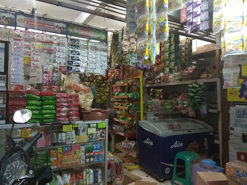
Grocery or supermarket nearby Warung Ibu Tuti
Coronavirus disease (COVID-19) Situation
confirmed cases
6829221
deaths
162063
Indonesia
Grocery or supermarket nearby Warung Ibu Tuti
Warung Ibu Tuti
Jalan Rias Permai Perum, Cogreg Indonesia
contacts phone
:
+62
Latitude:
-6.4208177
, Longitude:
106.6928348
read more
nearest Grocery or supermarket
140 m
Berkah Motor
Jalan Raya Cogreg, Cogreg
Grocery or supermarket
read more
427 m
Kiki Colection n Fashion
Jalan Gotong Royong 2, Cogreg
Grocery or supermarket
read more
648 m
Toko Muis
Jalan Baru No. 18, RT. 02/02, Cogreg, Parung, Cogreg
Grocery or supermarket
read more
798 m
Toko Raden Mufadol
Cogreg
Grocery or supermarket
read more
910 m
Warung Mpo Iyam
Jalan Suka Bakti, Cogreg
Grocery or supermarket
read more
931 m
Toko Sembako Darwis
Jalan Raya Pahlawan, Cogreg
Grocery or supermarket
read more
1.073 km
Ppob Umar
Cogreg
Grocery or supermarket
read more
1.09 km
Toko Ahmad Yani
Jalan Pejuang, Cogreg
Grocery or supermarket
read more
1.228 km
Warung Batak
Cogreg
Grocery or supermarket
read more
1.541 km
Toko Sembako Cika
Gang MTs Nurul Hidayah, Warujaya
Grocery or supermarket
read more
1.628 km
Kaira Fresh
Jalan Raya Gunung Kapur No.30, Bojong Indah
Grocery or supermarket
read more
1.665 km
Toko FaiZ
Jalan Raya Gunung Kapur No.30, Bojong Indah
Grocery or supermarket
read more
1.871 km
Warung Ko Cengkim
Kp cibentang cihowe RT 001 RW 002 No. 2, Cihoe
Grocery or supermarket
read more
1.906 km
ALISA CELL
Jalan Pahlawan Raya Samping Pt Ziben Indonesia Cibinong Gunung Si dur, Cibinong
Grocery or supermarket
read more
1.955 km
Warung Bang Asan
rt03 rw 01 no6, Gg. Amsar, 16330, Bojong Indah
Grocery or supermarket
read more
2.042 km
Toko Leha Ruslan
Bojong Indah
Grocery or supermarket
read more
2.068 km
Warung Mas Bowo
Bojong Indah
Grocery or supermarket
read more
2.07 km
Warung Sawiyah
Bojong Indah
Grocery or supermarket
read more
2.078 km
Toko Aji Lubis
Unnamed Road, Bojong Indah
Grocery or supermarket
read more
2.15 km
Ayam Goreng Crispy Bfc
Cidokom
Grocery or supermarket
read more
2.197 km
Warung Sohenda
Jalan Haji Mawi, Bojong Indah
Grocery or supermarket
read more
2.225 km
Toko Munjen
Jalan H Mawi RT 05 RW 05 No 126, Desa Waru Jaya, Kecamatan Parung, Warujaya
Grocery or supermarket
read more
2.379 km
Warung Awal
Bojong Sempu
Grocery or supermarket
read more
2.399 km
Warung Kodang
Gg.onong Rt 06/02, Bojong Sempu
Grocery or supermarket
read more
2.55 km
TOKO KEMBAR AGAM
Jalan Waru Jaya #28 RT6 RW4, Warujaya, Warujaya
Grocery or supermarket
read more
📑
all categories
Accounting
Administrative area level 1
Administrative area level 2
Airport
Amusement park
Aquarium
Art gallery
Atm
Bakery
Bank
Bar
Beauty salon
Bicycle store
Book store
Bowling alley
Bus station
Cafe
Campground
Car dealer
Car rental
Car repair
Car wash
Casino
Cemetery
Church
City hall
Clothing store
Colloquial area
Convenience store
Courthouse
Dentist
Department store
Doctor
Electrician
Electronics store
Embassy
Finance
Fire station
Florist
Food
Funeral home
Furniture store
Gas station
General contractor
Grocery or supermarket
Gym
Hair care
Hardware store
Health
Hindu Temple
Home goods store
Hospital
Insurance agency
Intersection
Jewelry store
Laundry
Lawyer
Library
Liquor store
Local government office
Locality
Locksmith
Lodging
Meal delivery
Meal takeaway
Mosque
Movie rental
Movie theater
Moving company
Museum
Natural feature
Neighborhood
Night club
Painter
Park
Parking
Pet store
Pharmacy
Physiotherapist
Place of worship
Plumber
Point of interest
Police
Political
Post office
Premise
Real estate agency
Restaurant
Roofing contractor
Route
Rv park, camping
School
Shoe store
Shopping mall
Spa
Stadium
Storage
Store
Subpremise
Supermarket
Synagogue
Taxi stand
Train station
Transit station
Travel agency
University
Veterinary care
Zoo
administrative area level 3
administrative area level 4
administrative area level 5
sublocality level 1
↑