Gas station nearby SPBU Braden
Indonesia
Gas station nearby SPBU Braden
SPBU Braden
Beradeun Indonesia
contacts phone
:
+62
Latitude:
5.5044808
, Longitude:
95.2691242
read more
nearest Gas station
2 m
SPBU Lampisang
Beradeun
Gas station
read more
3.782 km
Ilham Kana
Punie
Gas station
read more
3.991 km
Simpang Dodik gas stations
Jalan Cut Nyak Dien, Lamtemen Barat
Gas station
read more
4.162 km
SPBP Polda
West Lamtemen
Gas station
read more
5.345 km
SPBU MIBO
Mibo
Gas station
read more
5.359 km
Pom Bensin Pertamina
Mibo
Gas station
read more
5.942 km
SPBU Ulee Lheue
Gampong Pie
Gas station
read more
7.412 km
Heriah
Batoh
Gas station
read more
7.582 km
SPBU 14 231 484
Batoh
Gas station
read more
7.606 km
SPBU Batoh
Jl. Ir. Muhammad Hasan, Batoh, Lueng Bata, Batoh
Gas station
read more
8.474 km
Agen BBM Pertamina
Jalan Sentosa No.21, Laksana
Gas station
read more
8.836 km
Lueng Bata Gas Station
Cot Mesjid
Gas station
read more
8.846 km
SPBU Lueng Bata
Cot Mesjid
Gas station
read more
8.847 km
SPBU 14.232.404
Cot Mesjid
Gas station
read more
8.887 km
Ltari Oil
Mulia
Gas station
read more
8.901 km
SPBU Kampung Mulia
Mulia
Gas station
read more
9.307 km
Pertamina
Lambhuk
Gas station
read more
9.651 km
Putroe Doorsmear
Jalan Rel Kereta Api, Lambaro
Gas station
read more
9.653 km
Halte Transkutaraja Lambaro
Kayee Lee
Gas station
read more
10.003 km
SPBN Lampulo Komplek TPI Lama
Sisinga Mangaraja, Lampulo
Gas station
read more
10.284 km
SPBN Lampulo. Stasiun Pengisian BBM Nelayan
Lampulo
Gas station
read more
11.685 km
SPBU Premium dan Pertamax
Meunasah Intan
Gas station
read more
12.439 km
SPBU Lamnyong
Jalan Teuku Nyak Arief, Lamnyong
Gas station
read more
12.453 km
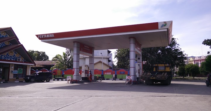
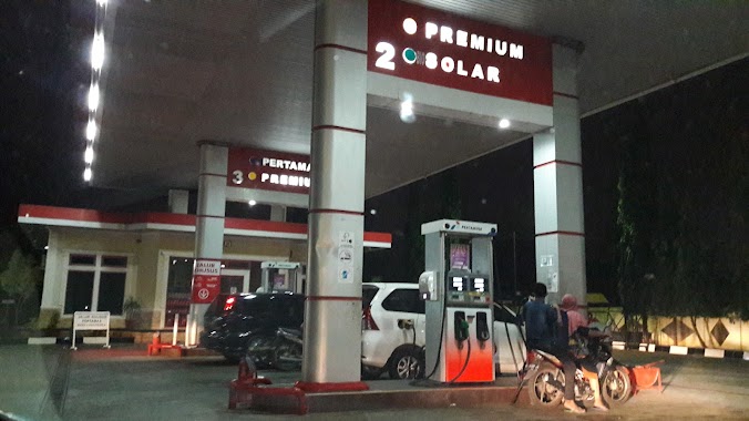
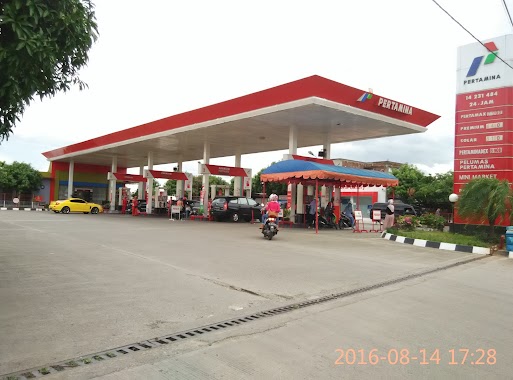
Spbu Pertamina Pasti Pas (Spbu 14.2354.65)
JL. Teuku Nyak Arief, Sabang, Banda Aceh, Lamgugob
Gas station
read more
12.914 km
Pertamini Abon
Jalan Tgk. Bakurma, Limpok
Gas station
read more
📑
all categories
Accounting
Administrative area level 1
Administrative area level 2
Airport
Amusement park
Aquarium
Art gallery
Atm
Bakery
Bank
Bar
Beauty salon
Bicycle store
Book store
Bowling alley
Bus station
Cafe
Campground
Car dealer
Car rental
Car repair
Car wash
Casino
Cemetery
Church
City hall
Clothing store
Colloquial area
Convenience store
Courthouse
Dentist
Department store
Doctor
Electrician
Electronics store
Embassy
Finance
Fire station
Florist
Food
Funeral home
Furniture store
Gas station
General contractor
Grocery or supermarket
Gym
Hair care
Hardware store
Health
Hindu Temple
Home goods store
Hospital
Insurance agency
Intersection
Jewelry store
Laundry
Lawyer
Library
Liquor store
Local government office
Locality
Locksmith
Lodging
Meal delivery
Meal takeaway
Mosque
Movie rental
Movie theater
Moving company
Museum
Natural feature
Neighborhood
Night club
Painter
Park
Parking
Pet store
Pharmacy
Physiotherapist
Place of worship
Plumber
Point of interest
Police
Political
Post office
Premise
Real estate agency
Restaurant
Roofing contractor
Route
Rv park, camping
School
Shoe store
Shopping mall
Spa
Stadium
Storage
Store
Subpremise
Supermarket
Synagogue
Taxi stand
Train station
Transit station
Travel agency
University
Veterinary care
Zoo
administrative area level 3
administrative area level 4
administrative area level 5
sublocality level 1
↑