Gas station nearby Pom Bensin TNI
Indonesia
Gas station nearby Pom Bensin TNI
Pom Bensin TNI
Drajat, Kesambi, Cirebon City, West Java 45133, Indonesia
contacts phone
:
+62
Latitude:
-6.7373736
, Longitude:
108.5513756
larger map & directions
read more
nearest Gas station
341 m
SPBU Pertamina
Sunyaragi
Gas station
read more
354 m
Tambal Ban Varokah
Jalan Kesambi, Raya
Gas station
read more
604 m
Pt Puspita Group
Kesambi
Gas station
read more
1.161 km
SPBU 3445157
Sunyaragi
Gas station
read more
1.162 km
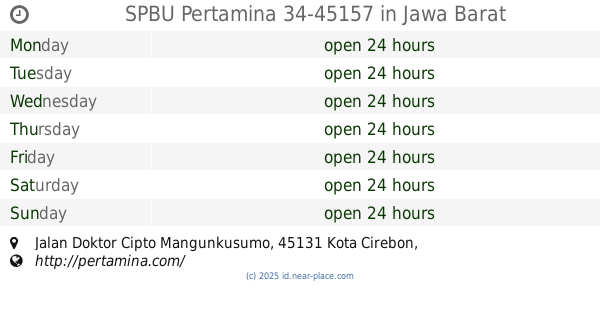
SPBU Pertamina 34-45157
Jalan Doktor Cipto Mangunkusumo, Sunyaragi
Gas station
read more
1.216 km
Pertamina gas station 34-45145
Jalan Rajawali Raya, Drajat
Gas station
read more
1.251 km
SPBU Rajawali Cirebon
Gang Pangeran Bali, Drajat
Gas station
read more
1.258 km
Service Area Bright Oil Mart
Sunyaragi
Gas station
read more
1.277 km
SPBU Pertamina 31.45101 Cirebon
Jl. Brigjen Dharsono, Sunyaragi
Gas station
read more
1.478 km
Offtake Sunyaragi Pt PGN (persero)
Jalan Kandangperahu No.7, Karyamulya
Gas station
read more
1.486 km
PT. PGN
Jalan Kandangperahu No.29, Karyamulya
Gas station
read more
1.732 km
SPBU 34.451.16 Bima
Sunyaragi
Gas station
read more
1.743 km
Pertamina
Jalan Brigjen Darsono, Karyamulya
Gas station
read more
1.922 km
PT. Suryaputra Cirebon
Tuk
Gas station
read more
1.973 km
Bengkel Buyung
Larangan
Gas station
read more
2.056 km
Pertamina
Jalan Ahmad Yani No.45141, Larangan
Gas station
read more
2.057 km
Spbu 34 45101
Jalan Ahmad Yani, Larangan
Gas station
read more
2.068 km
SPBU 34.45101 A.Yani Perum
Larangan
Gas station
read more
2.296 km
Pertamina
Jalan Doktor Cipto Mangunkusumo No.22, Pekiringan
Gas station
read more
2.299 km
SPBU 34.45158
Jl. Dr. Cipto Mangunkusumo No.33, Kel. Pekiringan, Kec. Kesambi, Pekiringan
Gas station
read more
2.341 km
Pertamina
Jalan Taman Raya, Kalijaga
Gas station
read more
2.623 km
Pertamina Spbu 34-45116
Kertawinangun
Gas station
read more
2.763 km
Tambal Ban Habibi
Gang Hambudi, Kejaksan
Gas station
read more
2.82 km
SPBU Cangkol
Jalan Ariodinoto, Lemahwungkuk
Gas station
read more
2.901 km
Cangkol Selatan
Jalan Yos Sudarso, Lemahwungkuk
Gas station
read more
📑
all categories
Accounting
Administrative area level 1
Administrative area level 2
Airport
Amusement park
Aquarium
Art gallery
Atm
Bakery
Bank
Bar
Beauty salon
Bicycle store
Book store
Bowling alley
Bus station
Cafe
Campground
Car dealer
Car rental
Car repair
Car wash
Casino
Cemetery
Church
City hall
Clothing store
Colloquial area
Convenience store
Courthouse
Dentist
Department store
Doctor
Electrician
Electronics store
Embassy
Finance
Fire station
Florist
Food
Funeral home
Furniture store
Gas station
General contractor
Grocery or supermarket
Gym
Hair care
Hardware store
Health
Hindu Temple
Home goods store
Hospital
Insurance agency
Intersection
Jewelry store
Laundry
Lawyer
Library
Liquor store
Local government office
Locality
Locksmith
Lodging
Meal delivery
Meal takeaway
Mosque
Movie rental
Movie theater
Moving company
Museum
Natural feature
Neighborhood
Night club
Painter
Park
Parking
Pet store
Pharmacy
Physiotherapist
Place of worship
Plumber
Point of interest
Police
Political
Post office
Premise
Real estate agency
Restaurant
Roofing contractor
Route
Rv park, camping
School
Shoe store
Shopping mall
Spa
Stadium
Storage
Store
Subpremise
Supermarket
Synagogue
Taxi stand
Train station
Transit station
Travel agency
University
Veterinary care
Zoo
administrative area level 3
administrative area level 4
administrative area level 5
sublocality level 1
↑