Cafe nearby Soto Bogor Mang Karta
Indonesia
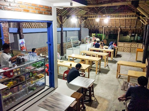
Cafe nearby Soto Bogor Mang Karta
Soto Bogor Mang Karta
Cibatok 1 Indonezja
contacts phone
:
+62
Latitude:
-6.5782184
, Longitude:
106.6616816
read more
nearest Cafe
378 m
Es Kepal Milo Cibatok
Cibatok 1
Cafe
read more
389 m
Bakso Rudal
Jalan Raya Cibungbulang No.20, Cimanggu 2
Cafe
read more
402 m
Bakso Kaget
Jalan Raya Cibungbulang No.17, Cimanggu 2
Cafe
read more
405 m
Nasi Goreng 88 Cab.2
Cibatok 1
Cafe
read more
411 m
Cafe Delima 86
Cibatok 1
Cafe
read more
414 m
Kedai Walagri
Jalan Kapten Dasuki Bakri, Cibatok 1
Cafe
read more
419 m
Seblak Peoge
Jalan Kapten Dasuki Bakri, Cibatok 1
Cafe
read more
432 m
Waroeng AQ
Jalan Raya Cibungbulang - Bogor No.31, Leuweung Kolot
Cafe
read more
481 m
Kafe Uduk Cimanggu
Jalan Raya Cibungbulang No.20, Cimanggu 2
Cafe
read more
545 m
Bakso Widey
Cimanggu 2
Cafe
read more
577 m
Hamugi (Halal Murah berGizi)
Jl. Nasional No.11, Cimanggu 2
Cafe
read more
602 m
Kedai Warung Galau
Cibatok 1
Cafe
read more
606 m
Kedai SJM 786
Jalan Kapten Dasuki Bakri, Cibatok 1
Cafe
read more
621 m
Kedai SJM, 786
Unnamed Road, Cibatok 1
Cafe
read more
650 m
Waroeng Renghek
Jalan Raya Cibungbulang No.20, Cimanggu 2
Cafe
read more
664 m
Es Kelapa Dugan
Jalan Kh. Abd. Hamid, Cemplang
Cafe
read more
665 m
Mie Nonjok, Ayam panggang, Nasgor & Steak
Jalan Kh. Abd. Hamid, Cemplang
Cafe
read more
703 m
Home Meals Cafe
Jl. Cibungbulang No.1 Km. 17 Desa Cimanggu 1, Cemplang, Cimanggu 1
Cafe
read more
718 m
Home meals bogor
Jalan Raya Cibungbulang - Bogor, Cimanggu 1
Cafe
read more
747 m
Nasi Uduk Pa Marta
Cimanggu 2
Cafe
read more
795 m
Cafe Muda Mudi
Jalan Kh. Abd. Hamid, Sukamaju
Cafe
read more
806 m
Baso Putra Solo
Jalan Raya Cemplang, Cemplang
Cafe
read more
1.11 km
Gilang Cafe
Puri Arraya 2 No. DF-31, Cibatok 1
Cafe
read more
1.156 km
Seno Warkop
Jalan Raya Cibungbulang - Bogor, Cimanggu 1
Cafe
read more
1.325 km
Sandyana's
Jalan Raya Cibungbulang - Bogor No.31, Leuweung Kolot
Cafe
read more
📑
all categories
Accounting
Administrative area level 1
Administrative area level 2
Airport
Amusement park
Aquarium
Art gallery
Atm
Bakery
Bank
Bar
Beauty salon
Bicycle store
Book store
Bowling alley
Bus station
Cafe
Campground
Car dealer
Car rental
Car repair
Car wash
Casino
Cemetery
Church
City hall
Clothing store
Colloquial area
Convenience store
Courthouse
Dentist
Department store
Doctor
Electrician
Electronics store
Embassy
Finance
Fire station
Florist
Food
Funeral home
Furniture store
Gas station
General contractor
Grocery or supermarket
Gym
Hair care
Hardware store
Health
Hindu Temple
Home goods store
Hospital
Insurance agency
Intersection
Jewelry store
Laundry
Lawyer
Library
Liquor store
Local government office
Locality
Locksmith
Lodging
Meal delivery
Meal takeaway
Mosque
Movie rental
Movie theater
Moving company
Museum
Natural feature
Neighborhood
Night club
Painter
Park
Parking
Pet store
Pharmacy
Physiotherapist
Place of worship
Plumber
Point of interest
Police
Political
Post office
Premise
Real estate agency
Restaurant
Roofing contractor
Route
Rv park, camping
School
Shoe store
Shopping mall
Spa
Stadium
Storage
Store
Subpremise
Supermarket
Synagogue
Taxi stand
Train station
Transit station
Travel agency
University
Veterinary care
Zoo
administrative area level 3
administrative area level 4
administrative area level 5
sublocality level 1
↑