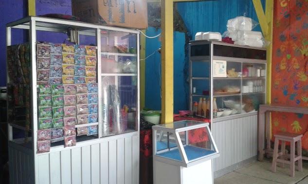
Cafe nearby Saung Bogor Barat
Indonesia
Cafe nearby Saung Bogor Barat
Saung Bogor Barat
Leuwiliang Indonesien
contacts phone
:
+62
Latitude:
-6.5685943
, Longitude:
106.6350536
read more
nearest Cafe
537 m
Warung Burger Danish
Jalan Raya Karehkel, Leuwiliang
Cafe
read more
621 m
Resto Phe Milk
Leuwiliang
Cafe
read more
635 m
bakso perdana
pasar leuwiliang, Leuwiliang
Cafe
read more
706 m
Kedai Sosis - Sosis Bakar GGS
Leuwiliang
Cafe
read more
729 m
Kedai Seblak&Lumpia basah
Leuwiliang
Cafe
read more
736 m
Kedai Kang Epong
Jalan Raya Karehkel, lingkar terminal
Cafe
read more
762 m
Join Kopi Leuwiliang
Jalan Raya Leuwiliang No.25, Leuwiliang
Cafe
read more
771 m
Style Cafe
Leuwimekar
Cafe
read more
777 m
Coffeeshop47
Jalan Raya Leuwiliang No.05, Leuwiliang
Cafe
read more
783 m
Coffee Shop 47
Jalan Raya Leuwiliang No.47, Leuwiliang
Cafe
read more
794 m
Sop Duren BN
Jalan Gunung Tanggal No.55, Leuwimekar
Cafe
read more
812 m
Kedai Kopi
Leuwiliang
Cafe
read more
815 m
Kedai Ratu
jl raya lw, liang
Cafe
read more
829 m
Warung Singgah Meureunah
Leuwimekar
Cafe
read more
888 m
Warung si Omah
Leuwiliang
Cafe
read more
893 m
Warkop Bang Juki
Leuwiliang
Cafe
read more
919 m
Dapur Nadhira
Cibeber I
Cafe
read more
948 m
Cafe Ice Cream
Leuwimekar
Cafe
read more
978 m
Kedai Oca
Jalan Mohnoh Nur, Leuwiliang
Cafe
read more
997 m
Cafe Babe BBC
Jalan Muhammad Non Nur No.36, Leuwimekar
Cafe
read more
1.01 km
d'Na@T Cafe
Jalan Setu, Leuwimekar
Cafe
read more
1.013 km
Kedai ASG
Leuwiliang
Cafe
read more
1.075 km
sand15cafe
Jalan Setu No.21, Leuwimekar
Cafe
read more
1.176 km
Sop Duren Klimaks
Jalan Setu, Leuwimekar
Cafe
read more
2.133 km
Warkop Agan
Cemplang
Cafe
read more
📑
all categories
Accounting
Administrative area level 1
Administrative area level 2
Airport
Amusement park
Aquarium
Art gallery
Atm
Bakery
Bank
Bar
Beauty salon
Bicycle store
Book store
Bowling alley
Bus station
Cafe
Campground
Car dealer
Car rental
Car repair
Car wash
Casino
Cemetery
Church
City hall
Clothing store
Colloquial area
Convenience store
Courthouse
Dentist
Department store
Doctor
Electrician
Electronics store
Embassy
Finance
Fire station
Florist
Food
Funeral home
Furniture store
Gas station
General contractor
Grocery or supermarket
Gym
Hair care
Hardware store
Health
Hindu Temple
Home goods store
Hospital
Insurance agency
Intersection
Jewelry store
Laundry
Lawyer
Library
Liquor store
Local government office
Locality
Locksmith
Lodging
Meal delivery
Meal takeaway
Mosque
Movie rental
Movie theater
Moving company
Museum
Natural feature
Neighborhood
Night club
Painter
Park
Parking
Pet store
Pharmacy
Physiotherapist
Place of worship
Plumber
Point of interest
Police
Political
Post office
Premise
Real estate agency
Restaurant
Roofing contractor
Route
Rv park, camping
School
Shoe store
Shopping mall
Spa
Stadium
Storage
Store
Subpremise
Supermarket
Synagogue
Taxi stand
Train station
Transit station
Travel agency
University
Veterinary care
Zoo
administrative area level 3
administrative area level 4
administrative area level 5
sublocality level 1
↑