Cafe nearby Contry Cafe
Indonesia
Cafe nearby Contry Cafe
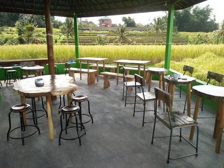
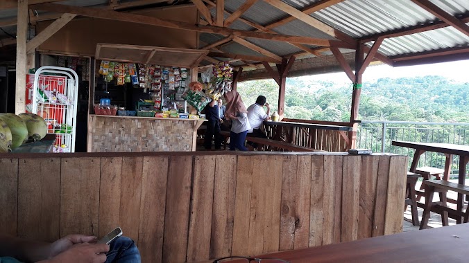
Contry Cafe
Jalan Airpanas, Karang Tengah Indonezja
contacts phone
:
+62
Latitude:
-6.596392
, Longitude:
106.9167741
read more
nearest Cafe
122 m
Green Caffe
Jalan Airpanas, Karang Tengah
Cafe
read more
1.086 km
Planet Noedle Cafe
Central Karang
Cafe
read more
1.192 km
AMIGOS CAFFE
Central Karang
Cafe
read more
1.392 km
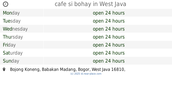
cafe si bohay
Bojong Koneng
Cafe
read more
1.398 km
Dunia Spa Jun
Central Karang
Cafe
read more
1.516 km
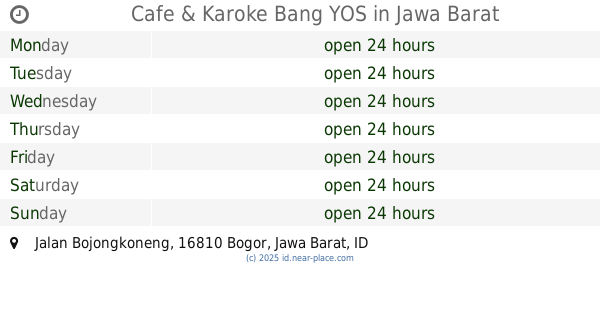
Cafe & Karoke Bang YOS
Jalan Bojongkoneng, Bojong Koneng
Cafe
read more
1.573 km
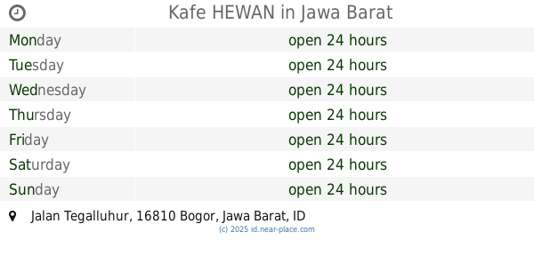
Kafe HEWAN
Jalan Tegalluhur, Bojong Koneng
Cafe
read more
1.583 km
Cafe HEWANI
Jalan Tegalluhur, Bojong Koneng
Cafe
read more
1.594 km
Cafe Gel Ogel
Central Karang
Cafe
read more
1.825 km
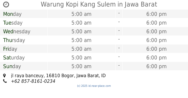
Warung Kopi Kang Sulem
jl raya banceuy, Bojong Koneng
Cafe
read more
1.863 km
Cafe 3M
Central Karang
Cafe
read more
2.048 km
Ameera Cafe
Jalan Desa, Karang Tengah
Cafe
read more
2.049 km
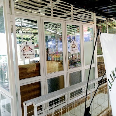
Alamanda Cafe
Central Karang
Cafe
read more
2.16 km
HAMAREN Coffe Field 浜連コーヒー畑
Jalan Al Barokah, Megamendung
Cafe
read more
2.409 km
Cafe Bukit Batu Kemun
Central Karang
Cafe
read more
2.591 km
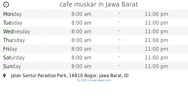
cafe muskar
Jalan Sentul Paradise Park, Bojong Koneng
Cafe
read more
2.666 km
cafe CG
Jalan Gunung Batu, Bojong Koneng
Cafe
read more
2.84 km
Warung Jurang 1
Jalan Raya Bojong Koneng, Bojong Koneng
Cafe
read more
2.848 km
Warung Kita @lencob
warung kita @lencob bojong koneng, Bojong Koneng
Cafe
read more
2.851 km
Warkop Avatar
Jl. Lingkar Macan, Bojong Koneng
Cafe
read more
2.966 km
Cafe Djawir
Bojong Koneng
Cafe
read more
3.164 km
Taman Kuliner Sentul
Bunderan Sentul Nirwana, Karang Tengah
Cafe
read more
3.244 km
Es Tebu Sari Murni
Jalan Raya Gunung Pancar, Sumur Batu
Cafe
read more
3.285 km
Kedai Kopi Omah Omar Sentul
Jalan Gunung Batu, Cijayanti
Cafe
read more
3.297 km
"Kapsul Cafes"
Bojong Koneng
Cafe
read more
📑
all categories
Accounting
Administrative area level 1
Administrative area level 2
Airport
Amusement park
Aquarium
Art gallery
Atm
Bakery
Bank
Bar
Beauty salon
Bicycle store
Book store
Bowling alley
Bus station
Cafe
Campground
Car dealer
Car rental
Car repair
Car wash
Casino
Cemetery
Church
City hall
Clothing store
Colloquial area
Convenience store
Courthouse
Dentist
Department store
Doctor
Electrician
Electronics store
Embassy
Finance
Fire station
Florist
Food
Funeral home
Furniture store
Gas station
General contractor
Grocery or supermarket
Gym
Hair care
Hardware store
Health
Hindu Temple
Home goods store
Hospital
Insurance agency
Intersection
Jewelry store
Laundry
Lawyer
Library
Liquor store
Local government office
Locality
Locksmith
Lodging
Meal delivery
Meal takeaway
Mosque
Movie rental
Movie theater
Moving company
Museum
Natural feature
Neighborhood
Night club
Painter
Park
Parking
Pet store
Pharmacy
Physiotherapist
Place of worship
Plumber
Point of interest
Police
Political
Post office
Premise
Real estate agency
Restaurant
Roofing contractor
Route
Rv park, camping
School
Shoe store
Shopping mall
Spa
Stadium
Storage
Store
Subpremise
Supermarket
Synagogue
Taxi stand
Train station
Transit station
Travel agency
University
Veterinary care
Zoo
administrative area level 3
administrative area level 4
administrative area level 5
sublocality level 1
↑