Cafe nearby Coffee smpit
Indonesia
Cafe nearby Coffee smpit
Coffee smpit
Jalan Kagungan, Lontarbaru Indonesia
contacts phone
:
+62
Latitude:
-6.1126605
, Longitude:
106.1470518
read more
nearest Cafe
174 m
Bunda Club Lontar
Jalan Trip Basuni No.1, Lontarbaru
Cafe
read more
509 m
Susu Jahe Merah Kepandean
Jalan Letnan Jidun No.88, Lontarbaru
Cafe
read more
529 m
Deduluran Cafe
Jalan Rm. Hs. Jayadiningrat No.30, Lontarbaru
Cafe
read more
537 m
Soft Ice Cream Oke
Lontarbaru
Cafe
read more
567 m
PONDOK OZAN RESTO
Jalan Kh. Jamhari No.1, Kaloran
Cafe
read more
632 m
safana cafe resto family
Ramayana
Cafe
read more
642 m
WarKop ACEH
Kotabaru
Cafe
read more
676 m
Adiva Fit Club
Jalan Rm. Hs. Jayadiningrat No.22, Serang
Cafe
read more
699 m
Juice Kaujon Dan Istana Buah-buahan Ruko Rs. Ibunda
Serang
Cafe
read more
782 m
Perangko Cafe
Jalan Veteran No.3, Kotabaru
Cafe
read more
853 m
Baso Ceker Bella
Jalan Veteran No.94, Kotabaru
Cafe
read more
853 m
ALEXXA LOUNGE 'N KARAOKE
Jalan Veteran No.94, Kotabaru
Cafe
read more
891 m
Voc Coffee
Jalan Ki Masjong No.12, 4, Kotabaru
Cafe
read more
891 m
dr-organics
Serang
Cafe
read more
995 m
Waroeng 52
Gang Penerangan, Cipare
Cafe
read more
1.056 km
Warung Kopi Benggala Teh Erni
Jalan Ustad Uzer, Kotabaru
Cafe
read more
1.066 km
Warunk Susu Jahe Merah
Jalan Samaun Bakri, Lopang
Cafe
read more
1.067 km
Warung Mang Udel
Jalan Veteran, Cimuncang
Cafe
read more
1.082 km
Es Kepal MILO MILLENNIAL
Jalan Kitapa, Lopang
Cafe
read more
1.114 km
Moro Rene Jahe Merah
Jalan Veteran No.24, Cipare
Cafe
read more
1.133 km
Veteran 8 Coffee & Beverage
Jalan Veteran No.8, Cipare
Cafe
read more
1.136 km
Caffe putri
Jalan Veteran No.24, Cipare
Cafe
read more
1.147 km
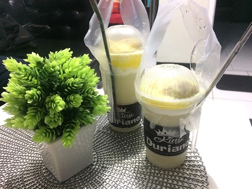
KINGDURIANO
Jl.Letkol Yusuf Martadilaga No.9, Cipare
Cafe
read more
1.154 km
Foodcore666 Caffee/Minibar
Jalan Veteran No.8, Cipare
Cafe
read more
1.237 km
OCC/GSC/ANJELO Express
Jalan Yusuf Martadilaga, Cipare
Cafe
read more
📑
all categories
Accounting
Administrative area level 1
Administrative area level 2
Airport
Amusement park
Aquarium
Art gallery
Atm
Bakery
Bank
Bar
Beauty salon
Bicycle store
Book store
Bowling alley
Bus station
Cafe
Campground
Car dealer
Car rental
Car repair
Car wash
Casino
Cemetery
Church
City hall
Clothing store
Colloquial area
Convenience store
Courthouse
Dentist
Department store
Doctor
Electrician
Electronics store
Embassy
Finance
Fire station
Florist
Food
Funeral home
Furniture store
Gas station
General contractor
Grocery or supermarket
Gym
Hair care
Hardware store
Health
Hindu Temple
Home goods store
Hospital
Insurance agency
Intersection
Jewelry store
Laundry
Lawyer
Library
Liquor store
Local government office
Locality
Locksmith
Lodging
Meal delivery
Meal takeaway
Mosque
Movie rental
Movie theater
Moving company
Museum
Natural feature
Neighborhood
Night club
Painter
Park
Parking
Pet store
Pharmacy
Physiotherapist
Place of worship
Plumber
Point of interest
Police
Political
Post office
Premise
Real estate agency
Restaurant
Roofing contractor
Route
Rv park, camping
School
Shoe store
Shopping mall
Spa
Stadium
Storage
Store
Subpremise
Supermarket
Synagogue
Taxi stand
Train station
Transit station
Travel agency
University
Veterinary care
Zoo
administrative area level 3
administrative area level 4
administrative area level 5
sublocality level 1
↑