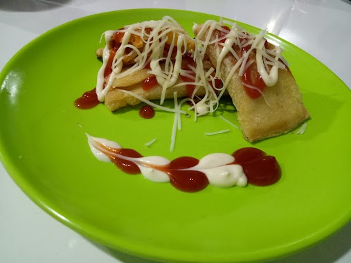
Cafe nearby Citrus fruit soup and ice
Indonesia
Cafe nearby Citrus fruit soup and ice
Citrus fruit soup and ice
Jalan Klapa Nunggal-Bojong, Cikahuripan Indonesia
contacts phone
:
+62
Latitude:
-6.4451214
, Longitude:
106.9803428
read more
nearest Cafe
374 m
Kedai Sosis Bakar Kang Nandar
Cikahuripan
Cafe
read more
482 m
Baso Arema
Cikahuripan
Cafe
read more
496 m
Warung Mama Bila
2. blok F1 12a, Villa Cileungsi Asri, Mampir
Cafe
read more
497 m
Warung Hani
Cileungsri 2 blok F2 no 14, Villa Cileungsi Asri, Mampir
Cafe
read more
726 m
Rumah Fawwaz
Cikahuripan
Cafe
read more
819 m
Wedang Grand Kahuripan
Klp., Cikahuripan
Cafe
read more
865 m
Cafe Ojol Mewah
Jalan Rinjani 16 No.15, Cikahuripan
Cafe
read more
963 m
Ceu Seblak Edoh
grand kahuripan blok in 05 klapanunggal, Kampung Parung Jambu, Cikahuripan
Cafe
read more
990 m
wr.kopi pojok
perum mega residence klapanunggal, Kampung Parung Jambu, Cikahuripan
Cafe
read more
1.016 km
grand Kahuripan Order Gojek
Klp., Cikahuripan
Cafe
read more
1.274 km
Es Kelapa Mang Njun
Klapanunggal
Cafe
read more
1.371 km
RonRon.Sel
Jalan Patuha 3, Klapanunggal
Cafe
read more
1.498 km
Warkop Patuha
Dayeuh
Cafe
read more
1.526 km
Kangen Water
Jalan Pangrango Raya, Dayeuh
Cafe
read more
1.562 km
Base Camp Rock Cikahuripan
Cikahuripan
Cafe
read more
1.736 km
Dapoer Bunda Cake And Catering
pesona kahuripan blok G7 no 20, Cikahuripan
Cafe
read more
1.782 km
Warung Mie Ayam Dan Bakso Ayyubi
Dayeuh
Cafe
read more
1.855 km
Cafe Zeroun
Cikahuripan
Cafe
read more
1.941 km
Warung Kopi Nyantai
Jalan Raya Grand Kahuripan, Klapanunggal
Cafe
read more
2.093 km
Nesya Cake
Nesya Cake , Perumahan Pesona Kahuripan Blok B6 No, 4, Cikahuripan
Cafe
read more
2.102 km
Warnet HMC 1
Dayeuh
Cafe
read more
2.202 km
Roti Bakar teh Denti
Klapanunggal
Cafe
read more
2.225 km
SEBLAK MAMAH ALIF
Dayeuh
Cafe
read more
2.297 km
Kedai Cik Poni
perum grya mekar asri blok b3/1, Dayeuh
Cafe
read more
2.498 km
Rasyta Eskrim
Unnamed Road, Klapanunggal
Cafe
read more
📑
all categories
Accounting
Administrative area level 1
Administrative area level 2
Airport
Amusement park
Aquarium
Art gallery
Atm
Bakery
Bank
Bar
Beauty salon
Bicycle store
Book store
Bowling alley
Bus station
Cafe
Campground
Car dealer
Car rental
Car repair
Car wash
Casino
Cemetery
Church
City hall
Clothing store
Colloquial area
Convenience store
Courthouse
Dentist
Department store
Doctor
Electrician
Electronics store
Embassy
Finance
Fire station
Florist
Food
Funeral home
Furniture store
Gas station
General contractor
Grocery or supermarket
Gym
Hair care
Hardware store
Health
Hindu Temple
Home goods store
Hospital
Insurance agency
Intersection
Jewelry store
Laundry
Lawyer
Library
Liquor store
Local government office
Locality
Locksmith
Lodging
Meal delivery
Meal takeaway
Mosque
Movie rental
Movie theater
Moving company
Museum
Natural feature
Neighborhood
Night club
Painter
Park
Parking
Pet store
Pharmacy
Physiotherapist
Place of worship
Plumber
Point of interest
Police
Political
Post office
Premise
Real estate agency
Restaurant
Roofing contractor
Route
Rv park, camping
School
Shoe store
Shopping mall
Spa
Stadium
Storage
Store
Subpremise
Supermarket
Synagogue
Taxi stand
Train station
Transit station
Travel agency
University
Veterinary care
Zoo
administrative area level 3
administrative area level 4
administrative area level 5
sublocality level 1
↑