Cafe nearby "ALESDU90" Kopi Tubrug
Indonesia
Cafe nearby "ALESDU90" Kopi Tubrug
"ALESDU90" Kopi Tubrug
Katulampa Indonesia
contacts phone
:
+62
Latitude:
-6.623919
, Longitude:
106.8305424
read more
nearest Cafe
17 m
The FOCUS Cup & Coffe
Katulampa
Cafe
read more
49 m
YUL Cafe and Resto
Katulampa
Cafe
read more
53 m
Opank Bedul
Jalan Mutiara Bogor Raya No.18, Katulampa
Cafe
read more
67 m
SNIPER Car Motorcycle Wash and Cafe
Katulampa
Cafe
read more
317 m
Wawan Wardaya
Katulampa
Cafe
read more
377 m
Warung Katulampa
Jalan Raya Parung Banteng No.113, Katulampa
Cafe
read more
379 m
Marlon Caffe & Bar
Jalan Raya Parung Banteng, Katulampa
Cafe
read more
425 m
MIE AYAM BASO MAS EDI
Gang Pemuda No.30, Katulampa
Cafe
read more
546 m
Saung Mang Nyere
Jalan Kol. Ahmad Syam, Katulampa
Cafe
read more
577 m
RANDOL (Radja Cendol)
Jalan Kol. Ahmad Syam, Katulampa
Cafe
read more
593 m
Warung Pak JONI
Katulampa
Cafe
read more
606 m
Warung Bangbingo
Jalan Raya Parung Banteng No.39, Katulampa
Cafe
read more
608 m
Alika transport
Gang Pemuda, Katulampa
Cafe
read more
631 m
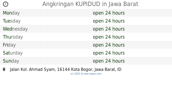
Angkringan KUPIDUD
Jalan Kol. Ahmad Syam, Katulampa
Cafe
read more
846 m
Baso Mang Doli
Gang Pesantren No.3, Tajur
Cafe
read more
930 m
Gado - Gado Tajur
Jalan Raya Tajur No.65A, Tajur
Cafe
read more
952 m
Baldes Net'zz & Cafe
Gang Balai Desa No.82B, Tajur
Cafe
read more
956 m
Kedai Beby Hot (KBH)
Jalan Raya Tajur No.89, Pakuan
Cafe
read more
962 m
Pecel Melati8
jl. melati VIII Blok A2 No.4 komplex Unitex Sindangrasa Timur, Kampung Parung Jambu, Sindangrasa
Cafe
read more
965 m
Kedai HM
Jalan Raya Tajur No.36, Pakuan
Cafe
read more
974 m
Kedai Mamamia
Kompleks Ruko Galaxy Raya No. 59 E, Jalan Tajur, Tajur, Bogor Timur, Tajur
Cafe
read more
1.013 km
SOTO PA JAJA SKI BOGOR
Jalan Katulampa Raya, Katulampa
Cafe
read more
1.016 km
Cafe Adel, Jln Aster 1 Pakuan Tajur
Jalan Aster I No.1, Pakuan
Cafe
read more
1.074 km
JoJo Coffee
Jl. Sukajaya 1 No. 22 Tajur, Tajur
Cafe
read more
1.172 km
Warung Mang JUJUM
Jalan Pakuan Utara No.14, Pakuan
Cafe
read more
📑
all categories
Accounting
Administrative area level 1
Administrative area level 2
Airport
Amusement park
Aquarium
Art gallery
Atm
Bakery
Bank
Bar
Beauty salon
Bicycle store
Book store
Bowling alley
Bus station
Cafe
Campground
Car dealer
Car rental
Car repair
Car wash
Casino
Cemetery
Church
City hall
Clothing store
Colloquial area
Convenience store
Courthouse
Dentist
Department store
Doctor
Electrician
Electronics store
Embassy
Finance
Fire station
Florist
Food
Funeral home
Furniture store
Gas station
General contractor
Grocery or supermarket
Gym
Hair care
Hardware store
Health
Hindu Temple
Home goods store
Hospital
Insurance agency
Intersection
Jewelry store
Laundry
Lawyer
Library
Liquor store
Local government office
Locality
Locksmith
Lodging
Meal delivery
Meal takeaway
Mosque
Movie rental
Movie theater
Moving company
Museum
Natural feature
Neighborhood
Night club
Painter
Park
Parking
Pet store
Pharmacy
Physiotherapist
Place of worship
Plumber
Point of interest
Police
Political
Post office
Premise
Real estate agency
Restaurant
Roofing contractor
Route
Rv park, camping
School
Shoe store
Shopping mall
Spa
Stadium
Storage
Store
Subpremise
Supermarket
Synagogue
Taxi stand
Train station
Transit station
Travel agency
University
Veterinary care
Zoo
administrative area level 3
administrative area level 4
administrative area level 5
sublocality level 1
↑