Bus station nearby Pusat Grosir Cililitan
Indonesia
Bus station nearby Pusat Grosir Cililitan
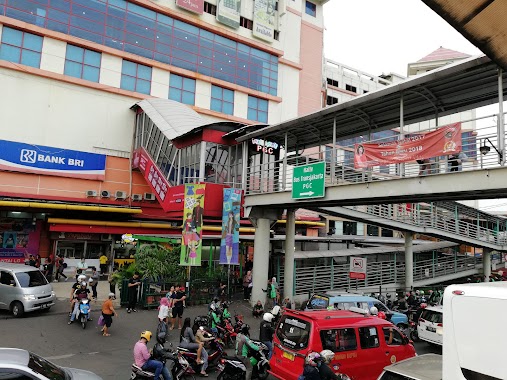
Pusat Grosir Cililitan
Indonesia Indonesia
contacts phone
:
+62
Latitude:
-6.26176
, Longitude:
106.866549
read more
nearest Bus station
80 m
PGC 1
Cililitan, Kramat Jati, Kramatjati
Bus station
read more
96 m
PGC 2
Cililitan
Bus station
read more
110 m
Halte Cililitan
Indonesia
Bus station
read more
129 m
Bis Stasium Cilitan
RW.9, Cililitan
Bus station
read more
189 m
Terminal Bayangan Cililitan Besar
Indonesia
Bus station
read more
289 m
Alfamart Dewi Sartika
Indonesia
Bus station
read more
314 m
Halte Ramayana
Jalan Raya Bogor RT.1/RW.1, Kramat Jati
Bus station
read more
331 m
Halte Bus Sekolah Ramayana
Indonesia
Bus station
read more
341 m
Ramayana Raya Bogor
Indonesia
Bus station
read more
368 m
Al Hawi Funeral Condet
Indonesia
Bus station
read more
388 m
Halte Bus Sekolah
Jalan Dewi Sartika RT.3/RW.7, Cililitan
Bus station
read more
463 m
Langgar Al-Bayan
Indonesia
Bus station
read more
476 m
Halte Kampus 10 Nof
Indonesia
Bus station
read more
486 m
Pos Indonesia Persero
Indonesia
Bus station
read more
563 m
Sekolah Tinggi Fisioterapi
Indonesia
Bus station
read more
578 m
BKN
Indonesia
Bus station
read more
629 m
Pom Bensin 34-13604
Indonesia
Bus station
read more
714 m
RSUD Budi Asih
Indonesia
Bus station
read more
780 m
Pasar Kramat Jati
RT.1/RW.6, Cililitan
Bus station
read more
873 m
Gedung Cawang Kencana, Jl. Mayor Jenderal Sutoyo
RT.7/RW.7, Cawang
Bus station
read more
946 m
Bina Sarana Informatika, Kampus F4
Indonesia
Bus station
read more
948 m
Tol Jagorawi
RT.6/RW.1, Makasar
Bus station
read more
999 m
Lippo Plaza Kramat Jati 2
Indonesia
Bus station
read more
1.008 km
Halte Bus Sekolah
Jalan Dewi Sartika RT.1/RW.5, Cawang
Bus station
read more
1.2 km
Ayam Bakar Permata
Indonesia
Bus station
read more
📑
all categories
Accounting
Administrative area level 1
Administrative area level 2
Airport
Amusement park
Aquarium
Art gallery
Atm
Bakery
Bank
Bar
Beauty salon
Bicycle store
Book store
Bowling alley
Bus station
Cafe
Campground
Car dealer
Car rental
Car repair
Car wash
Casino
Cemetery
Church
City hall
Clothing store
Colloquial area
Convenience store
Courthouse
Dentist
Department store
Doctor
Electrician
Electronics store
Embassy
Finance
Fire station
Florist
Food
Funeral home
Furniture store
Gas station
General contractor
Grocery or supermarket
Gym
Hair care
Hardware store
Health
Hindu Temple
Home goods store
Hospital
Insurance agency
Intersection
Jewelry store
Laundry
Lawyer
Library
Liquor store
Local government office
Locality
Locksmith
Lodging
Meal delivery
Meal takeaway
Mosque
Movie rental
Movie theater
Moving company
Museum
Natural feature
Neighborhood
Night club
Painter
Park
Parking
Pet store
Pharmacy
Physiotherapist
Place of worship
Plumber
Point of interest
Police
Political
Post office
Premise
Real estate agency
Restaurant
Roofing contractor
Route
Rv park, camping
School
Shoe store
Shopping mall
Spa
Stadium
Storage
Store
Subpremise
Supermarket
Synagogue
Taxi stand
Train station
Transit station
Travel agency
University
Veterinary care
Zoo
administrative area level 3
administrative area level 4
administrative area level 5
sublocality level 1
↑