Bus station nearby Opposite Kota Bangunan
Indonesia
Bus station nearby Opposite Kota Bangunan
Opposite Kota Bangunan
Indonesia Indonesia
contacts phone
:
+62
Latitude:
-6.160577
, Longitude:
106.791165
read more
nearest Bus station
110 m
Halte Latumenten ST. Grogol
Indonesia
Bus station
read more
289 m
Halte RSJ Dr. Soeharto Heerdjan
Indonesia
Bus station
read more
573 m
Jaya Abadi
Indonesia
Bus station
read more
583 m
Q Food And Music
Indonesia
Bus station
read more
599 m
Kramat Djati. PT - Grogol
JL. Doktor Susilo Raya No.16, Grogol - West Jakarta 11460
Bus station
read more
634 m
Jl. Prof Doktor Latumenten
Indonesia
Bus station
read more
639 m
SPBU 34-11404
Indonesia
Bus station
read more
665 m
Alfamart Latumeten
Indonesia
Bus station
read more
670 m
Terminal Grogol
Kelurahan Jl. Kyai Tapa No.1 RT.1/RW.5, Grogol, Grogol
Bus station
read more
725 m
Suto Corporation
Indonesia
Bus station
read more
728 m
Tasya
Indonesia
Bus station
read more
795 m
Halte Jelambar
Indonesia
Bus station
read more
798 m
Pertamina, Jl Daan Mogot
RT.8/RW.4, Jelambar
Bus station
read more
801 m
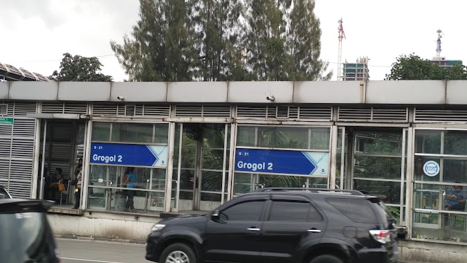
Grogol 2
Indonesia
Bus station
read more
835 m
Grogol 2
RT.8/RW.1, Tanjung Duren Utara
Bus station
read more
863 m
Warteg Simpang
Indonesia
Bus station
read more
887 m
Sumber Waras
RT.1/RW.3, Grogol, Grogol petamburan
Bus station
read more
914 m
Pos Grogol, Jl. Kyai Hasyim Ashari
RT.1/RW.2, Grogol
Bus station
read more
915 m
Halte Taman Kyai Tapa
Indonesia
Bus station
read more
980 m
PT. Cengkareng Permai
Indonesia
Bus station
read more
1.008 km
Pusat Gadai
Indonesia
Bus station
read more
1.04 km
RS Sumber Waras
Indonesia
Bus station
read more
1.07 km
Roxy Square
Indonesia
Bus station
read more
1.203 km
Makro Plastik
Indonesia
Bus station
read more
1.206 km
Market Pulsa
Indonesia
Bus station
read more
📑
all categories
Accounting
Administrative area level 1
Administrative area level 2
Airport
Amusement park
Aquarium
Art gallery
Atm
Bakery
Bank
Bar
Beauty salon
Bicycle store
Book store
Bowling alley
Bus station
Cafe
Campground
Car dealer
Car rental
Car repair
Car wash
Casino
Cemetery
Church
City hall
Clothing store
Colloquial area
Convenience store
Courthouse
Dentist
Department store
Doctor
Electrician
Electronics store
Embassy
Finance
Fire station
Florist
Food
Funeral home
Furniture store
Gas station
General contractor
Grocery or supermarket
Gym
Hair care
Hardware store
Health
Hindu Temple
Home goods store
Hospital
Insurance agency
Intersection
Jewelry store
Laundry
Lawyer
Library
Liquor store
Local government office
Locality
Locksmith
Lodging
Meal delivery
Meal takeaway
Mosque
Movie rental
Movie theater
Moving company
Museum
Natural feature
Neighborhood
Night club
Painter
Park
Parking
Pet store
Pharmacy
Physiotherapist
Place of worship
Plumber
Point of interest
Police
Political
Post office
Premise
Real estate agency
Restaurant
Roofing contractor
Route
Rv park, camping
School
Shoe store
Shopping mall
Spa
Stadium
Storage
Store
Subpremise
Supermarket
Synagogue
Taxi stand
Train station
Transit station
Travel agency
University
Veterinary care
Zoo
administrative area level 3
administrative area level 4
administrative area level 5
sublocality level 1
↑