Bus station nearby Masjid Jami Nurul Iman
Coronavirus disease (COVID-19) Situation
confirmed cases
6829221
deaths
162063
Indonesia
Bus station nearby Masjid Jami Nurul Iman
Masjid Jami Nurul Iman
Parung Serab, Ciledug, Tangerang City, Banten, Indonesien
contacts phone
:
+62
Latitude:
-6.244428
, Longitude:
106.700237
larger map & directions
read more
nearest Bus station
32 m
Opposite J&T Express Ciledug
Indonesia
Bus station
read more
514 m
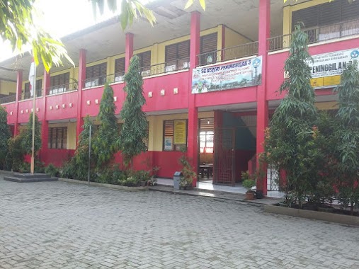
SDN Peninggilan 3
Indonesia
Bus station
read more
1.141 km
TK Aisyiyah 66
Indonesia
Bus station
read more
1.143 km
SD, SMP Muhammadiyah 3
Indonesia
Bus station
read more
1.251 km
Halte Sudimara 9 Raden Fatah
Indonesia
Bus station
read more
1.256 km
Halte Bus Samsat Ciledug
Jalan Raden Fatah, Sudimara Barat
Bus station
read more
1.264 km
Halte Sudimara 9
Indonesia
Bus station
read more
1.499 km
Opposite SDN Pondok Aren 1
Indonesia
Bus station
read more
1.505 km
SDN Pondok Aren 1
Indonesia
Bus station
read more
1.771 km
Kelurahan Pondok Kacang Timur
Indonesia
Bus station
read more
1.824 km
Halte Soed Boel
Indonesia
Bus station
read more
1.83 km
Halte Bus YPPUI
Jalan Raden Fatah, Sudimara Barat
Bus station
read more
1.91 km
Terminal Bus Pasar Lembang Ciledug
Jalan Raden Fatah, Sudimara Barat
Bus station
read more
2.006 km
Halte Sudimara 12
Indonesia
Bus station
read more
2.009 km
Halte Bus SD Sudimara
Jalan Raden Patah, Sudimara Barat
Bus station
read more
2.193 km
Opposite Apotek Roxy
Indonesia
Bus station
read more
2.33 km
Halte Jalak Bali
Indonesia
Bus station
read more
2.353 km
Gretta Residence
Indonesia
Bus station
read more
2.45 km
Sudimara Pinang, Jl. KH Mansyur
Sudimara Pinang
Bus station
read more
2.455 km
Opposite TB Sinar Bangunan
Indonesia
Bus station
read more
2.653 km
Namo Motor
Indonesia
Bus station
read more
2.913 km
Pasar Bengkok, Jl. KH Mansyur
Indonesia
Bus station
read more
2.964 km
Artha Mas II Honda
Indonesia
Bus station
read more
3.096 km
Indomaret Duta Bintaro
Indonesia
Bus station
read more
3.68 km
Halte Setia Jaya Motor
Indonesia
Bus station
read more
📑
all categories
Accounting
Administrative area level 1
Administrative area level 2
Airport
Amusement park
Aquarium
Art gallery
Atm
Bakery
Bank
Bar
Beauty salon
Bicycle store
Book store
Bowling alley
Bus station
Cafe
Campground
Car dealer
Car rental
Car repair
Car wash
Casino
Cemetery
Church
City hall
Clothing store
Colloquial area
Convenience store
Courthouse
Dentist
Department store
Doctor
Electrician
Electronics store
Embassy
Finance
Fire station
Florist
Food
Funeral home
Furniture store
Gas station
General contractor
Grocery or supermarket
Gym
Hair care
Hardware store
Health
Hindu Temple
Home goods store
Hospital
Insurance agency
Intersection
Jewelry store
Laundry
Lawyer
Library
Liquor store
Local government office
Locality
Locksmith
Lodging
Meal delivery
Meal takeaway
Mosque
Movie rental
Movie theater
Moving company
Museum
Natural feature
Neighborhood
Night club
Painter
Park
Parking
Pet store
Pharmacy
Physiotherapist
Place of worship
Plumber
Point of interest
Police
Political
Post office
Premise
Real estate agency
Restaurant
Roofing contractor
Route
Rv park, camping
School
Shoe store
Shopping mall
Spa
Stadium
Storage
Store
Subpremise
Supermarket
Synagogue
Taxi stand
Train station
Transit station
Travel agency
University
Veterinary care
Zoo
administrative area level 3
administrative area level 4
administrative area level 5
sublocality level 1
↑