Bus station nearby Jaya Cellular
Indonesia
Bus station nearby Jaya Cellular
Jaya Cellular
Indonesia Indonesia
contacts phone
:
+62
Latitude:
-6.1226
, Longitude:
106.888833
read more
nearest Bus station
489 m
Halte Ampera Yos Sudarso
Indonesia
Bus station
read more
559 m
Halte GRJU 2
Indonesia
Bus station
read more
606 m
Opposite Yayasan Kumala
Indonesia
Bus station
read more
648 m
Gelangang Remaja Jakarta Utara, Jl. Yos Sudarso
RT.6/RW.13, Kebon Bawang
Bus station
read more
657 m
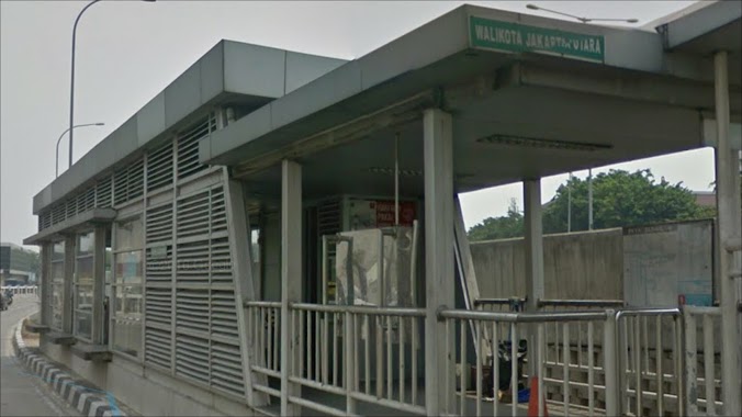
Walikota Jakarta Utara
Jalan Yos Sudarso RT.6/RW.13, Rawabadak Utara
Bus station
read more
726 m
Pasar Pelita
Indonesia
Bus station
read more
772 m
Halte SMA 13
Indonesia
Bus station
read more
774 m
Apotek Sungai Bambu Jaya Motor
Indonesia
Bus station
read more
784 m
Pegadaian Kebon Kawang
Indonesia
Bus station
read more
801 m
Sat Lantas Polres Jakarta Utara
Indonesia
Bus station
read more
813 m
Mushola Nurul Islam
Indonesia
Bus station
read more
872 m
Jaya Perkasa Abadi
Indonesia
Bus station
read more
936 m
Alfamidi Warakas Raya Chai Thai Tea
Indonesia
Bus station
read more
984 m
Kost Kelabat
Indonesia
Bus station
read more
1.001 km
Indomaret Gadang T16q
Indonesia
Bus station
read more
1.007 km
Es Cendol Bandung Bang Komeng
Indonesia
Bus station
read more
1.063 km
Opposite Plaza Koja, Jl. Laksamana Yos Sudarso
RT.4, Kebon Bawang
Bus station
read more
1.071 km
GBI JPS 22
Indonesia
Bus station
read more
1.073 km
Arya Jaya Furniture
Indonesia
Bus station
read more
1.083 km
Near Masjid Jami Al Faaiziin
Indonesia
Bus station
read more
1.098 km
Plaza Koja
14320, RT.9/RW.2, Koja
Bus station
read more
1.142 km
Halte Taman Gorotalo
Indonesia
Bus station
read more
1.245 km
Polsek Metro Tanjung Priok Jakarta Utara
Indonesia
Bus station
read more
1.257 km
Bengkel Si Tepat
Indonesia
Bus station
read more
1.292 km
Alvin Baby Shop
Indonesia
Bus station
read more
📑
all categories
Accounting
Administrative area level 1
Administrative area level 2
Airport
Amusement park
Aquarium
Art gallery
Atm
Bakery
Bank
Bar
Beauty salon
Bicycle store
Book store
Bowling alley
Bus station
Cafe
Campground
Car dealer
Car rental
Car repair
Car wash
Casino
Cemetery
Church
City hall
Clothing store
Colloquial area
Convenience store
Courthouse
Dentist
Department store
Doctor
Electrician
Electronics store
Embassy
Finance
Fire station
Florist
Food
Funeral home
Furniture store
Gas station
General contractor
Grocery or supermarket
Gym
Hair care
Hardware store
Health
Hindu Temple
Home goods store
Hospital
Insurance agency
Intersection
Jewelry store
Laundry
Lawyer
Library
Liquor store
Local government office
Locality
Locksmith
Lodging
Meal delivery
Meal takeaway
Mosque
Movie rental
Movie theater
Moving company
Museum
Natural feature
Neighborhood
Night club
Painter
Park
Parking
Pet store
Pharmacy
Physiotherapist
Place of worship
Plumber
Point of interest
Police
Political
Post office
Premise
Real estate agency
Restaurant
Roofing contractor
Route
Rv park, camping
School
Shoe store
Shopping mall
Spa
Stadium
Storage
Store
Subpremise
Supermarket
Synagogue
Taxi stand
Train station
Transit station
Travel agency
University
Veterinary care
Zoo
administrative area level 3
administrative area level 4
administrative area level 5
sublocality level 1
↑