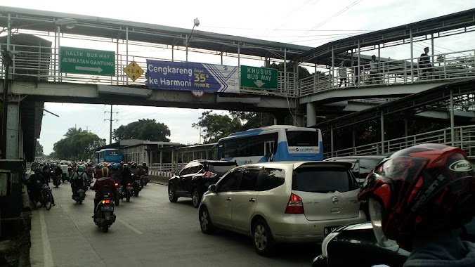
Bus station nearby Halte Jembatan Gantung Daan Mogot
Coronavirus disease (COVID-19) Situation
confirmed cases
6829221
deaths
162063
Indonesia
Bus station nearby Halte Jembatan Gantung Daan Mogot
Halte Jembatan Gantung Daan Mogot
Kedaung Kali Angke, Cengkareng, West Jakarta City, Jakarta, Indonesia
contacts phone
:
+62
Latitude:
-6.155377
, Longitude:
106.749209
larger map & directions
read more
nearest Bus station
34 m
Jembatan Gantung
RT.1/RW.4, Kedaung Kali Angke, Cengkareng
Bus station
read more
237 m
Halte Daan Mogot Mahardika
Indonesia
Bus station
read more
363 m
Suri Tani Pemuka
Indonesia
Bus station
read more
389 m
Halte Praba Samanta
Jalan Daan Mogot RT.12/RW.13, Cengkareng Timur
Bus station
read more
642 m
Opposite SPBU Shell Daan Mogot-02
Indonesia
Bus station
read more
803 m
Opposite Dealer Mobil Mitsubishi Daan Mogot
Indonesia
Bus station
read more
902 m
TB Eka Jaya
Indonesia
Bus station
read more
967 m
Sekolah Menengah Umum Katolik Bintang Kejora
Indonesia
Bus station
read more
976 m
Opposite Masjid Al Ikhlas Kalibaru Timur
Indonesia
Bus station
read more
979 m
Taman Kota
Jalan Taman Kota
Bus station
read more
985 m
Opposite Smu Kristen Bintang Kejora
Indonesia
Bus station
read more
1.053 km
Opposite Depot Jamu Ridwan Shter
Indonesia
Bus station
read more
1.191 km
Halte Dispenda Samsat Barat 1
Indonesia
Bus station
read more
1.227 km
Gkri Alkitabiah Maranata
Indonesia
Bus station
read more
1.228 km
TB. Dwi Jaya Indah
Indonesia
Bus station
read more
1.656 km
Pam Jaya Dan Palyja
Indonesia
Bus station
read more
1.679 km
Halte Duta Buah Green Garden
Indonesia
Bus station
read more
1.712 km
Opposite GPKI Jemaat Khusus Maranatha Cengkareng
Indonesia
Bus station
read more
1.753 km
Opposite SPBU 31-11713
Indonesia
Bus station
read more
1.755 km
Halte SDN 02 Pg
Indonesia
Bus station
read more
1.965 km
Opposite Indomaret Bojong
Indonesia
Bus station
read more
2.069 km
Opposite Klinik Rawa Buaya
Indonesia
Bus station
read more
2.074 km
Pandu Express
Indonesia
Bus station
read more
2.133 km
Toko Tiga Sembilan
Indonesia
Bus station
read more
2.397 km
Indomaret Kapuk BCA
Indonesia
Bus station
read more
📑
all categories
Accounting
Administrative area level 1
Administrative area level 2
Airport
Amusement park
Aquarium
Art gallery
Atm
Bakery
Bank
Bar
Beauty salon
Bicycle store
Book store
Bowling alley
Bus station
Cafe
Campground
Car dealer
Car rental
Car repair
Car wash
Casino
Cemetery
Church
City hall
Clothing store
Colloquial area
Convenience store
Courthouse
Dentist
Department store
Doctor
Electrician
Electronics store
Embassy
Finance
Fire station
Florist
Food
Funeral home
Furniture store
Gas station
General contractor
Grocery or supermarket
Gym
Hair care
Hardware store
Health
Hindu Temple
Home goods store
Hospital
Insurance agency
Intersection
Jewelry store
Laundry
Lawyer
Library
Liquor store
Local government office
Locality
Locksmith
Lodging
Meal delivery
Meal takeaway
Mosque
Movie rental
Movie theater
Moving company
Museum
Natural feature
Neighborhood
Night club
Painter
Park
Parking
Pet store
Pharmacy
Physiotherapist
Place of worship
Plumber
Point of interest
Police
Political
Post office
Premise
Real estate agency
Restaurant
Roofing contractor
Route
Rv park, camping
School
Shoe store
Shopping mall
Spa
Stadium
Storage
Store
Subpremise
Supermarket
Synagogue
Taxi stand
Train station
Transit station
Travel agency
University
Veterinary care
Zoo
administrative area level 3
administrative area level 4
administrative area level 5
sublocality level 1
↑