Bus station nearby Halte Gang Subuh
Indonesia
Bus station nearby Halte Gang Subuh
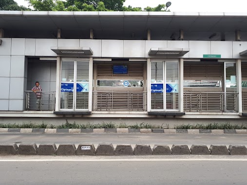
Halte Gang Subuh
Jalan Bekasi Timur Raya, 13240, Kota Jakarta Timur, Daerah Khusus Ibukota Jakarta, ID Indonesia
contacts phone
:
+62
Latitude:
-6.2113357
, Longitude:
106.8905259
larger map & directions
read more
nearest Bus station
234 m
Opposite Simpang Cipinang Lontar - I Gusti Ngurah Rai
Indonesia
Bus station
read more
270 m
Cipinang
RT.8/RW.8, Cipinang
Bus station
read more
278 m
Simpang Cipinang Lontar - I Gusti Ngurah Rai
Indonesia
Bus station
read more
290 m
Halte Busway Cipinang
Jalan I Gusti Ngurah Rai RT.8/RW.8, Cipinang
Bus station
read more
365 m
Halte Cipinang Lontar
Jalan Cipinang Lontar Jalan I Gusti Ngurah Rai RT.9/RW.8, Cipinang
Bus station
read more
392 m
Tupperware
Indonesia
Bus station
read more
447 m
Halte Bhayangkari 1
Jalan Bekasi Timur Raya RT.1/RW.15, Cipinang
Bus station
read more
509 m
Halte Cipinang
Indonesia
Bus station
read more
514 m
Opposet Mega Bayu Motor
Indonesia
Bus station
read more
528 m
Family Motor 1
Indonesia
Bus station
read more
535 m
Borobudur Mobilindo
Indonesia
Bus station
read more
772 m
Rutan Kelas 1 Cipinang
Indonesia
Bus station
read more
778 m
Halte Rutan Klas I Cipinang
Indonesia
Bus station
read more
832 m
Halte SMA N 12
Jalan I Gusti Ngurah Rai RT.7/RW.8, Jatinegara Kaum
Bus station
read more
878 m
Toko Madura Jaya
Indonesia
Bus station
read more
930 m
PT. Citrawidya Wiyata
Indonesia
Bus station
read more
934 m
Stasiun Klender
01, Jalan I Gusti Ngurah Rai No.35, RT.8, Klender, Duren Sawit
Bus station
read more
984 m
Imigrasi Jakarta Timur
RT.9/RW.9, Pisangan Timur
Bus station
read more
985 m
Halte Lapas Cipinang
Indonesia
Bus station
read more
1.006 km
Opposite Stasiun Kretaapi
Indonesia
Bus station
read more
1.047 km
Opposite Alfamart Gading Raya
Indonesia
Bus station
read more
1.069 km
Alfamart Gading Raya
Indonesia
Bus station
read more
1.08 km
SMAN 50 Jakarta
Indonesia
Bus station
read more
1.282 km
Halte Bus Sekolah Persahatan Utara
Indonesia
Bus station
read more
1.353 km
PT. Mega Centra Finance
Indonesia
Bus station
read more
📑
all categories
Accounting
Administrative area level 1
Administrative area level 2
Airport
Amusement park
Aquarium
Art gallery
Atm
Bakery
Bank
Bar
Beauty salon
Bicycle store
Book store
Bowling alley
Bus station
Cafe
Campground
Car dealer
Car rental
Car repair
Car wash
Casino
Cemetery
Church
City hall
Clothing store
Colloquial area
Convenience store
Courthouse
Dentist
Department store
Doctor
Electrician
Electronics store
Embassy
Finance
Fire station
Florist
Food
Funeral home
Furniture store
Gas station
General contractor
Grocery or supermarket
Gym
Hair care
Hardware store
Health
Hindu Temple
Home goods store
Hospital
Insurance agency
Intersection
Jewelry store
Laundry
Lawyer
Library
Liquor store
Local government office
Locality
Locksmith
Lodging
Meal delivery
Meal takeaway
Mosque
Movie rental
Movie theater
Moving company
Museum
Natural feature
Neighborhood
Night club
Painter
Park
Parking
Pet store
Pharmacy
Physiotherapist
Place of worship
Plumber
Point of interest
Police
Political
Post office
Premise
Real estate agency
Restaurant
Roofing contractor
Route
Rv park, camping
School
Shoe store
Shopping mall
Spa
Stadium
Storage
Store
Subpremise
Supermarket
Synagogue
Taxi stand
Train station
Transit station
Travel agency
University
Veterinary care
Zoo
administrative area level 3
administrative area level 4
administrative area level 5
sublocality level 1
↑