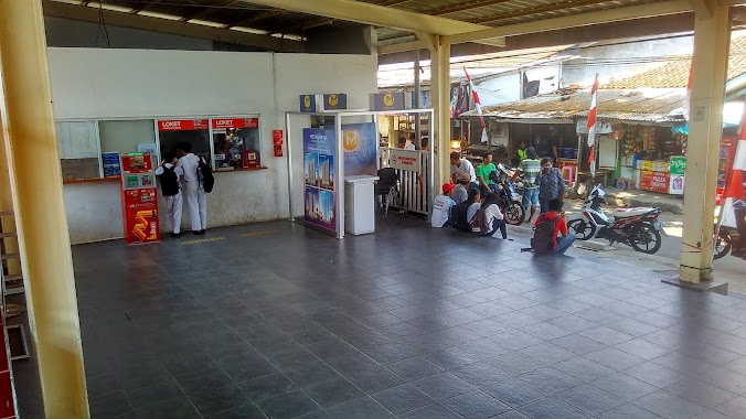
Train station nearby Bandara Soekarno Hatta
Coronavirus disease (COVID-19) Situation
confirmed cases
6829221
deaths
162063
Indonesia
Train station nearby Bandara Soekarno Hatta
Bandara Soekarno Hatta
Indonesia Indonesia
contacts phone
:
+62
Latitude:
-6.1273853
, Longitude:
106.6522037
read more
nearest Train station
9 m
Stasiun Kereta Api Bandara
Jalan C3 No.831, Pajang
Train station
read more
5.192 km
Batu Ceper Station
Jalan Kyai Haji Agus Salim, Poris Plawad, Cipondoh
Train station
read more
5.392 km
Tanah Tinggi Station
Jalan Benteng Betawi, Tanah Tinggi
Train station
read more
5.642 km
Poris Train Station
Gang Haji Muhamad, Poris Gaga
Train station
read more
5.896 km
Stasiun Tangerang
Stasiun pintu tengah Sukarasa, Kec., Jalan Sukamanah 2, Sukasari, Kecamatan Tangerang
Train station
read more
6.359 km
Alam Minang Wisata
JL.Kyai Haji Hasyim Ashari, No. 25B, Ciledug
Train station
read more
7.144 km
Kali Deres Station
Jalan Gaga, Semanan, Kalideres
Train station
read more
8.819 km
Stasiun Rawa Buaya
Duri Kosambi, Cengkareng, Kota Jakarta Barat
Train station
read more
8.819 km
Stasiun Rawa Buaya
Duri Kosambi, Cengkareng
Train station
read more
9.993 km
Bojong Indah
Rawa Buaya, Cengkareng
Train station
read more
10.199 km
Putri Rena Lintao. PT
Perumnas II Jalan Prambanan Raya No.89, Cibodas Baru
Train station
read more
10.439 km
Tantou Ticket
JL. Jeruk, Perumnas I, No. 54
Train station
read more
11.312 km
Diandra One Stop Payment
JL. Makmur 1 M4, No. 09 Rt. 06/08, Cipondoh
Train station
read more
12.001 km
Stasiun Taman Kota
Jalan Perumahan Taman Kota No.66, Kembangan Utara
Train station
read more
12.001 km
Stasiun Taman Kota
Jl. Perumahan Taman Kota No.66, Kembangan Utara, Kota Jakarta Barat
Train station
read more
13.713 km
Stasiun Pesing
Jalan Daan Mogot, Wijaya Kusuma, Grogol petamburan
Train station
read more
17.991 km
Jakartakota Station
Jakan Lada, Pinangsia, Tamansari
Train station
read more
18.373 km
Palmerah
RT.1/RW.3, Gelora
Train station
read more
18.886 km
Kebayoran Station
Jalan Mesjid Al Huda No.12, Kebayoran Lama Utara, Kebayoran Lama
Train station
read more
19.477 km
Station Pondok Ranji
Jalan Stasiun Pondok Ranji, Rengas, Ciputat Timur
Train station
read more
19.744 km
Sawah Besar Station
Jalan Krekot Raya No.6, Pasar Baru, Sawah Besar
Train station
read more
20.474 km
Gambir Train Station
Jalan Medan Merdeka Timur No.1, RT.2/RW.1, Gambir
Train station
read more
20.687 km
Sudirman Station
Jalan Kendal No.24, RT.10/RW.6, Menteng
Train station
read more
24.936 km
Pondok Jati Station
RT.10/RW.9, Pisangan Baru
Train station
read more
26.714 km
Pasar Minggu Baru Station
Jalan Batu Merah IV, Pejaten Timur, Pasar Minggu
Train station
read more
📑
all categories
Accounting
Administrative area level 1
Administrative area level 2
Airport
Amusement park
Aquarium
Art gallery
Atm
Bakery
Bank
Bar
Beauty salon
Bicycle store
Book store
Bowling alley
Bus station
Cafe
Campground
Car dealer
Car rental
Car repair
Car wash
Casino
Cemetery
Church
City hall
Clothing store
Colloquial area
Convenience store
Courthouse
Dentist
Department store
Doctor
Electrician
Electronics store
Embassy
Finance
Fire station
Florist
Food
Funeral home
Furniture store
Gas station
General contractor
Grocery or supermarket
Gym
Hair care
Hardware store
Health
Hindu Temple
Home goods store
Hospital
Insurance agency
Intersection
Jewelry store
Laundry
Lawyer
Library
Liquor store
Local government office
Locality
Locksmith
Lodging
Meal delivery
Meal takeaway
Mosque
Movie rental
Movie theater
Moving company
Museum
Natural feature
Neighborhood
Night club
Painter
Park
Parking
Pet store
Pharmacy
Physiotherapist
Place of worship
Plumber
Point of interest
Police
Political
Post office
Premise
Real estate agency
Restaurant
Roofing contractor
Route
Rv park, camping
School
Shoe store
Shopping mall
Spa
Stadium
Storage
Store
Subpremise
Supermarket
Synagogue
Taxi stand
Train station
Transit station
Travel agency
University
Veterinary care
Zoo
administrative area level 3
administrative area level 4
administrative area level 5
sublocality level 1
↑