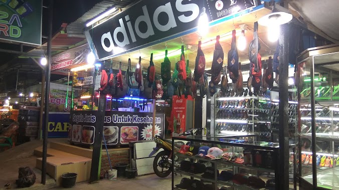
Shoe store nearby Agfa
Coronavirus disease (COVID-19) Situation
confirmed cases
6829221
deaths
162063
Indonesia
Shoe store nearby Agfa
Agfa
Kampung Baru, Baiturrahman, Banda Aceh City, Aceh 23116, Indonesia
contacts phone
:
+62 812-6980-013
Latitude:
5.5490176
, Longitude:
95.3156367
larger map & directions
read more
nearest Shoe store
156 m
Fantasi Fantastic
Kampung Baru
Shoe store
read more
156 m
Tursina
Kampung Baru
Shoe store
read more
158 m
Minaca Baru
Kampung Baru
Shoe store
read more
158 m
Adidas
JL ST. Malikul Saleh, No. 49, Kampung Baru
Shoe store
read more
158 m
Stars
Kampung Baru
Shoe store
read more
158 m
Buccheri Hermes Aceh
Jalan Teuku Nyak Arief, Kampung Baru
Shoe store
read more
158 m
Toko Bata
JL. Tentara Pelajar, Kampung Baru
Shoe store
read more
158 m
Triset
Kampung Baru
Shoe store
read more
172 m
SOGO
JL. Chairil Anwar No.32
Shoe store
read more
172 m
Havana Shoes
Kampung Baru
Shoe store
read more
172 m
Fajar Baru
JL. Chairil Anwar No.38
Shoe store
read more
172 m
Paradise
JL. Chairil Anwar No.28
Shoe store
read more
172 m
Roma
Kampung Baru
Shoe store
read more
349 m
Kickers
Jalan Mohammada Jam No.88, Kampung Baru
Shoe store
read more
385 m
Jasa
Jalan Mohammada Jam No.52, Kampung Baru
Shoe store
read more
473 m
Toko Elisabet
Kampung Baru
Shoe store
read more
484 m
Elgini
Jalan Mohammada Jam No.93, Kampung Baru
Shoe store
read more
644 m
Ardiles
Pasar Aceh Shoping Outlet 1st Floor, JL. Gagak Hitam, Kampung Baru
Shoe store
read more
715 m
Buana Jaya
Kampung Baru
Shoe store
read more
723 m
HI Shoes
Kampung Baru
Shoe store
read more
729 m
Gravisi
Kampung Baru
Shoe store
read more
812 m
Cantik Sepatu & Tas
Pasar Aceh 2nd Floor, JL. Diponegoro, Kampung Baru
Shoe store
read more
983 m
Toko Galaxy
Jalan Tentara Pelajar, Kampung Baru
Shoe store
read more
1.15 km
Hadio
JL panglima Polem, No. 155
Shoe store
read more
1.173 km
Buccheri Shoes Store
Laksana
Shoe store
read more
📑
all categories
Accounting
Administrative area level 1
Administrative area level 2
Airport
Amusement park
Aquarium
Art gallery
Atm
Bakery
Bank
Bar
Beauty salon
Bicycle store
Book store
Bowling alley
Bus station
Cafe
Campground
Car dealer
Car rental
Car repair
Car wash
Casino
Cemetery
Church
City hall
Clothing store
Colloquial area
Convenience store
Courthouse
Dentist
Department store
Doctor
Electrician
Electronics store
Embassy
Finance
Fire station
Florist
Food
Funeral home
Furniture store
Gas station
General contractor
Grocery or supermarket
Gym
Hair care
Hardware store
Health
Hindu Temple
Home goods store
Hospital
Insurance agency
Intersection
Jewelry store
Laundry
Lawyer
Library
Liquor store
Local government office
Locality
Locksmith
Lodging
Meal delivery
Meal takeaway
Mosque
Movie rental
Movie theater
Moving company
Museum
Natural feature
Neighborhood
Night club
Painter
Park
Parking
Pet store
Pharmacy
Physiotherapist
Place of worship
Plumber
Point of interest
Police
Political
Post office
Premise
Real estate agency
Restaurant
Roofing contractor
Route
Rv park, camping
School
Shoe store
Shopping mall
Spa
Stadium
Storage
Store
Subpremise
Supermarket
Synagogue
Taxi stand
Train station
Transit station
Travel agency
University
Veterinary care
Zoo
administrative area level 3
administrative area level 4
administrative area level 5
sublocality level 1
↑