School nearby SMK Bina Karya
Indonesia
School nearby SMK Bina Karya
SMK Bina Karya
JL Raya Pasar Kemis, No. 99 KM. 6, 5, Sukamantri, Mekarsari Indonesia
contacts phone
:
+62
Latitude:
-6.12855
, Longitude:
106.5269694
read more
nearest School
137 m
SD MEKAR SARI
Mekarsari
School
read more
178 m
Perguruan Beladiri Matahari Indonesia Ranting SMP Islam Ayatra
Jl. Raya Cadas No.26, Rajeg, Sukatani
School
read more
199 m
RABBANI KIDS CARE
Sukamanah
School
read more
423 m
TKQ Rabbaniah
JL Kukun Daon, Keusik, Sukamanah, Rajeg, Sukamanah
School
read more
423 m
SMP IT
JL Kukun Daon, Keusik, Sukamanah, Rajeg, Sukamanah
School
read more
470 m
Taman Ilmu
Mekarsari
School
read more
560 m
Pondok Pesantren Raudhatul Bayan
Jalan Raya Cadas - Kukun, Mekarsari
School
read more
568 m
Yayasan Pendidikan Sabila Tangerang
Perum Taman Raya, Rajeg
School
read more
603 m
PAUD SABILA
Perum Taman Raya Blok G.10 No 2,, Rajeg
School
read more
729 m
SDIT Bani Yahya Sulaiman
Mekarsari
School
read more
740 m
RA. Bani Sarian
Sukatani
School
read more
756 m
Niara National School
Sukamanah
School
read more
769 m
J&R Center
Mekarsari
School
read more
789 m
ponpes darut taqwa
Kp KongsiBaru, Mekarsari
School
read more
851 m
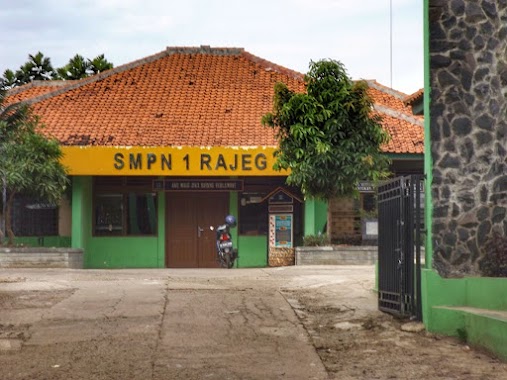
SMP Negeri 1 Rajeg
Jalan Raya Rajeg, Sukamanah, Rajeg
School
read more
918 m
SDIT Bani Yahya Soleman
JL Rajeg, Km. 3, Rajeg, Sukamanah
School
read more
943 m
MTs.Al Hafiz
Mekarsari
School
read more
1.008 km
SMK AL Hasyimiah
Jl. Raya Pasar Daon, Rajeg, 15540, Sukamanah
School
read more
1.019 km
Rumah Belajar Yatim
Melati 2, Mekarsari
School
read more
1.043 km
Majlis Ta'lim&sholawat
Sindangsari
School
read more
1.092 km
SMA Permata Insani Islamic School
Perum Villa Permata Blok G1, Sindangsari
School
read more
1.121 km
Bimbel Rengking
Sindangsari
School
read more
1.214 km
Yayasan Nurul Azami Shidqiya
Unnamed Road, Sindangsari
School
read more
1.291 km
SDN Mekarsari I
Mekarsari
School
read more
1.316 km
SD Negeri Sukasari II
Jalan Rajeg, Mekarsari
School
read more
📑
all categories
Accounting
Administrative area level 1
Administrative area level 2
Airport
Amusement park
Aquarium
Art gallery
Atm
Bakery
Bank
Bar
Beauty salon
Bicycle store
Book store
Bowling alley
Bus station
Cafe
Campground
Car dealer
Car rental
Car repair
Car wash
Casino
Cemetery
Church
City hall
Clothing store
Colloquial area
Convenience store
Courthouse
Dentist
Department store
Doctor
Electrician
Electronics store
Embassy
Finance
Fire station
Florist
Food
Funeral home
Furniture store
Gas station
General contractor
Grocery or supermarket
Gym
Hair care
Hardware store
Health
Hindu Temple
Home goods store
Hospital
Insurance agency
Intersection
Jewelry store
Laundry
Lawyer
Library
Liquor store
Local government office
Locality
Locksmith
Lodging
Meal delivery
Meal takeaway
Mosque
Movie rental
Movie theater
Moving company
Museum
Natural feature
Neighborhood
Night club
Painter
Park
Parking
Pet store
Pharmacy
Physiotherapist
Place of worship
Plumber
Point of interest
Police
Political
Post office
Premise
Real estate agency
Restaurant
Roofing contractor
Route
Rv park, camping
School
Shoe store
Shopping mall
Spa
Stadium
Storage
Store
Subpremise
Supermarket
Synagogue
Taxi stand
Train station
Transit station
Travel agency
University
Veterinary care
Zoo
administrative area level 3
administrative area level 4
administrative area level 5
sublocality level 1
↑